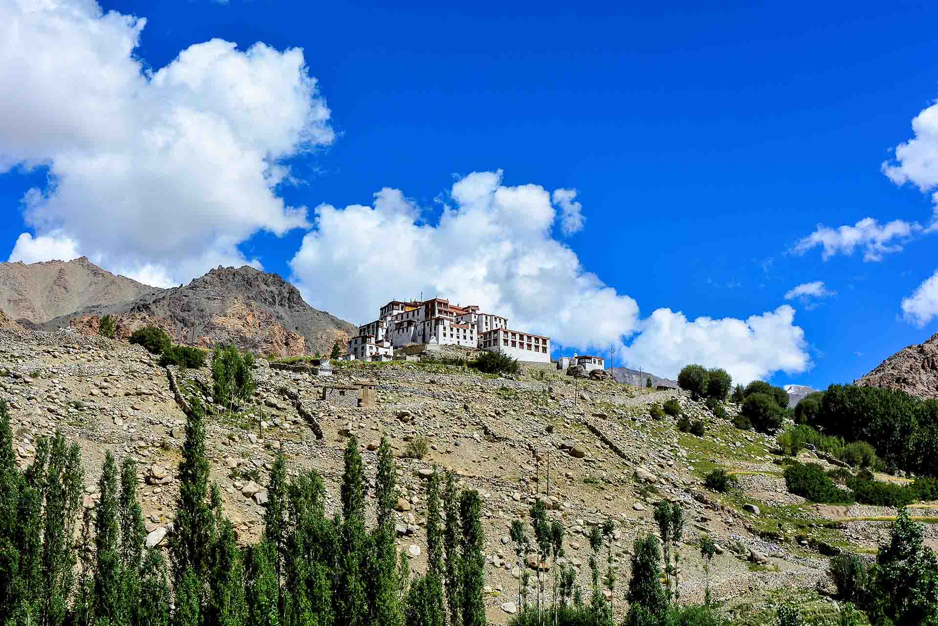
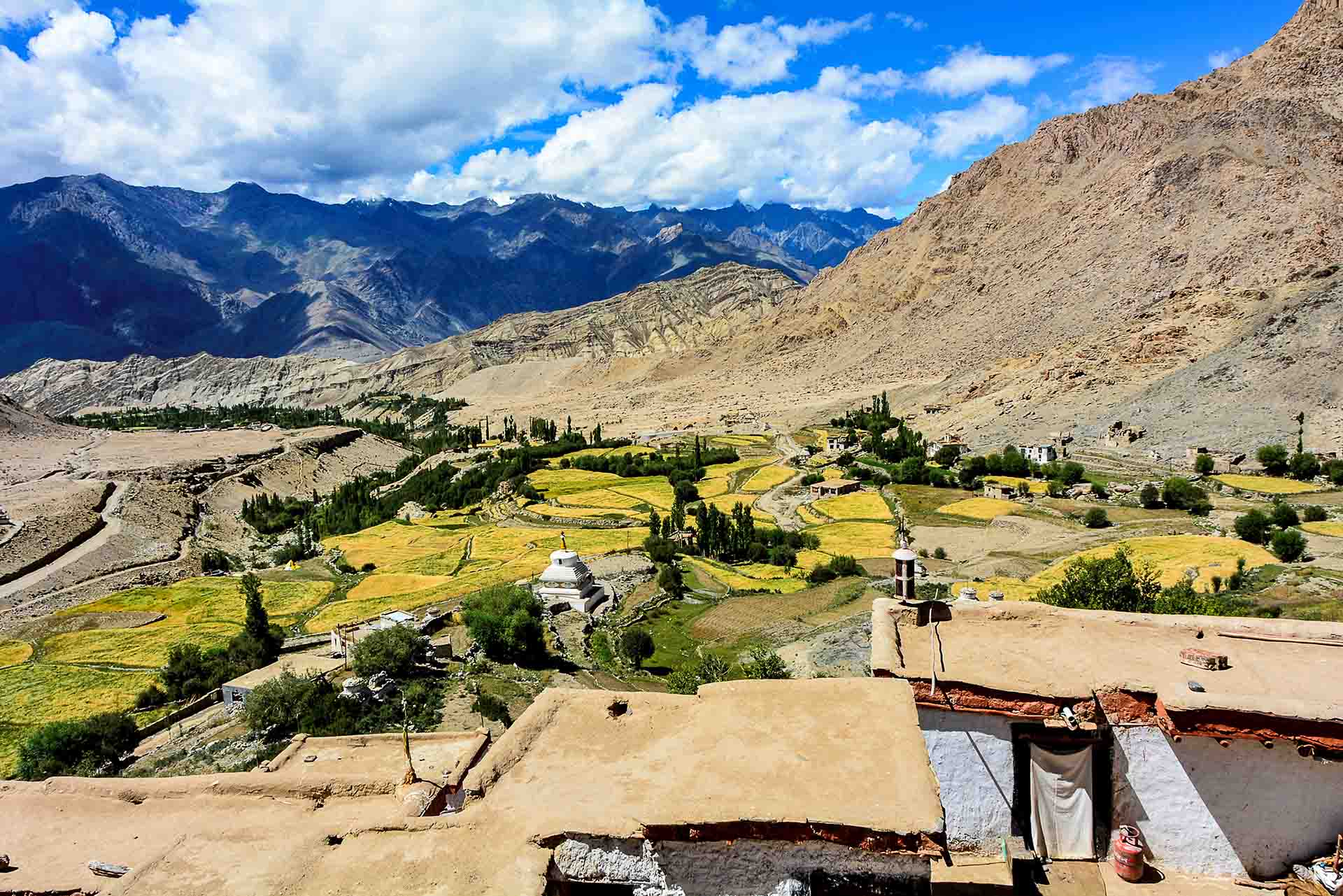
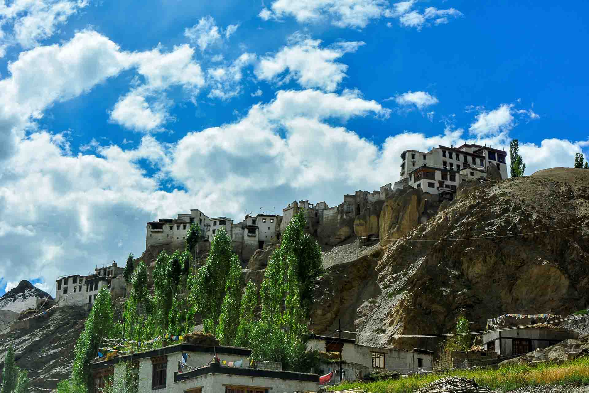
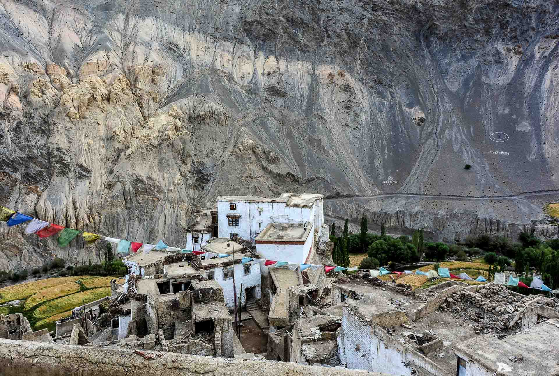
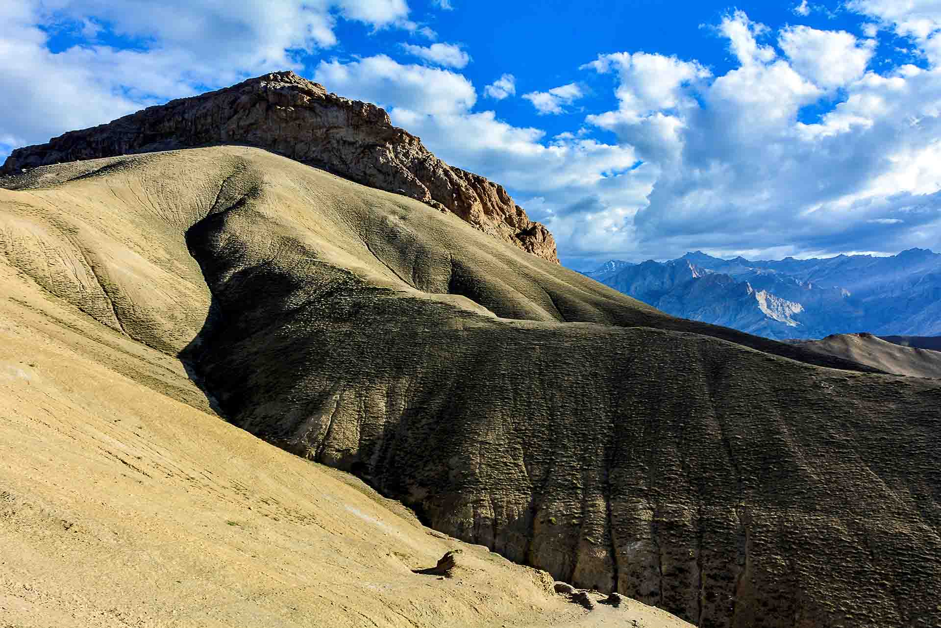
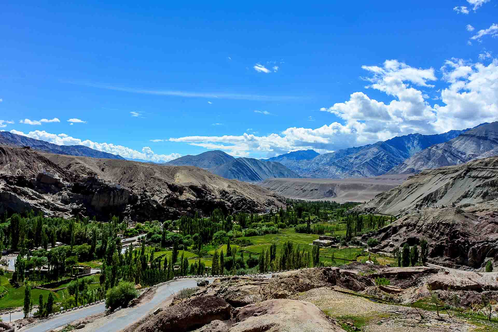
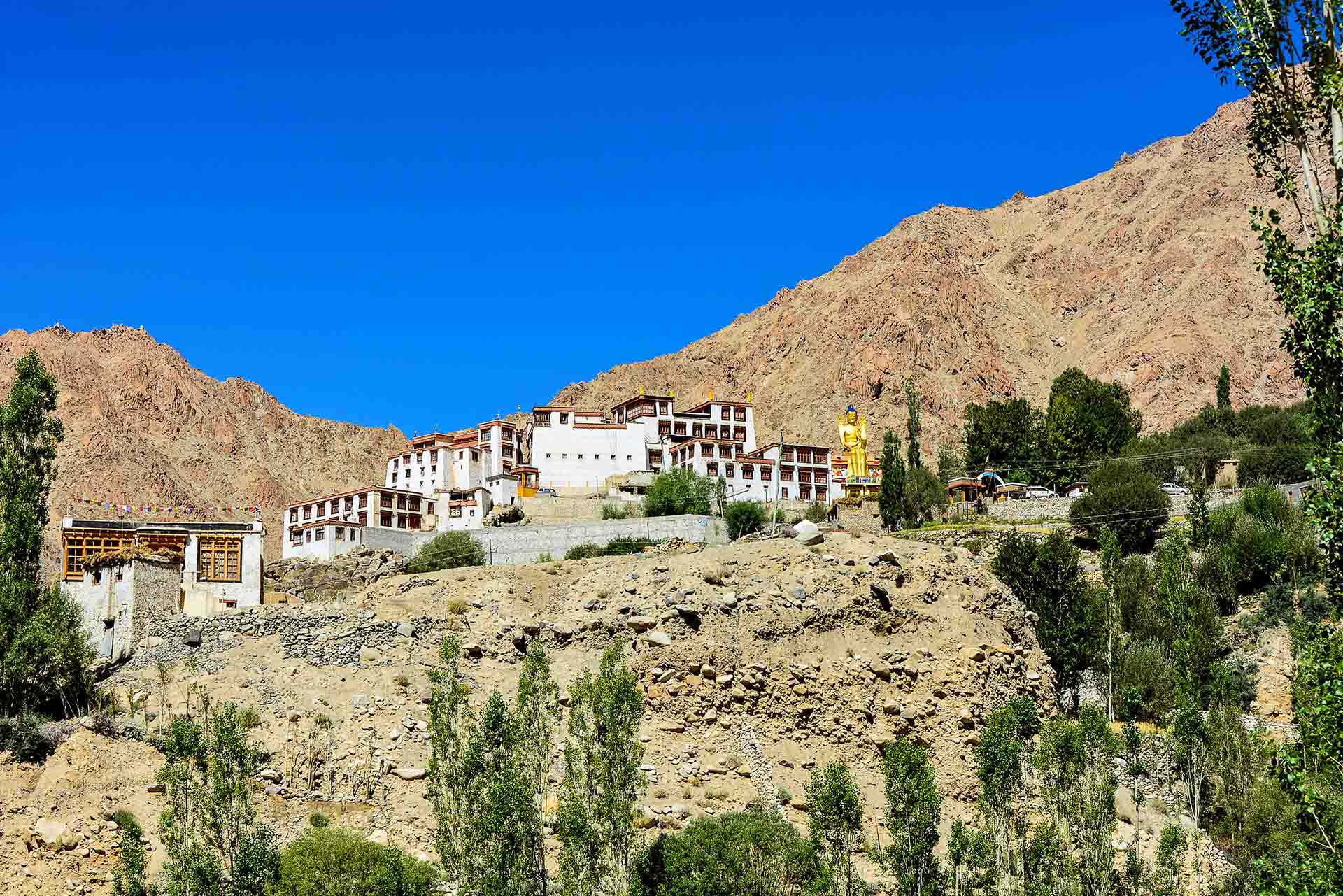
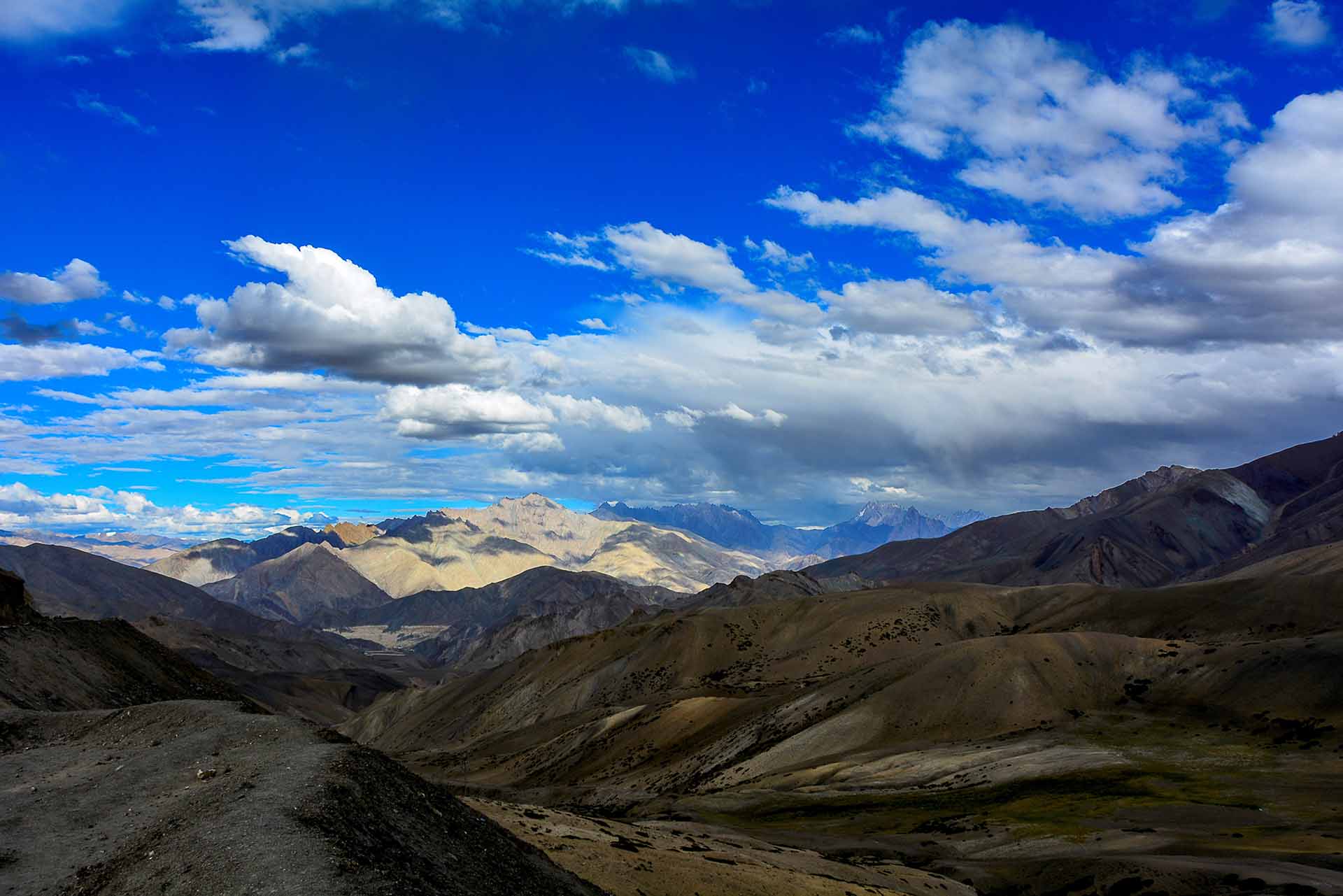
The view from Likir Gompa
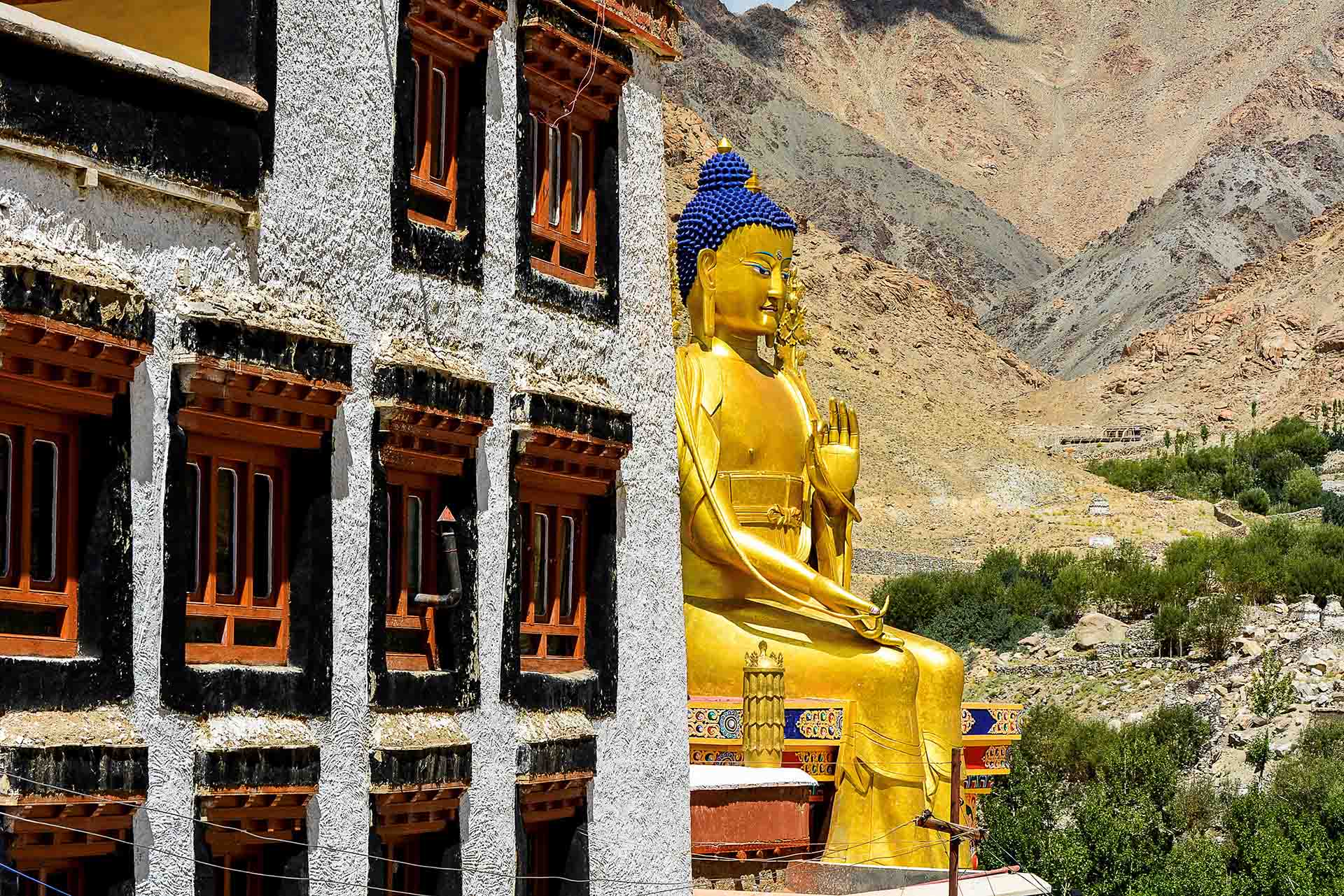
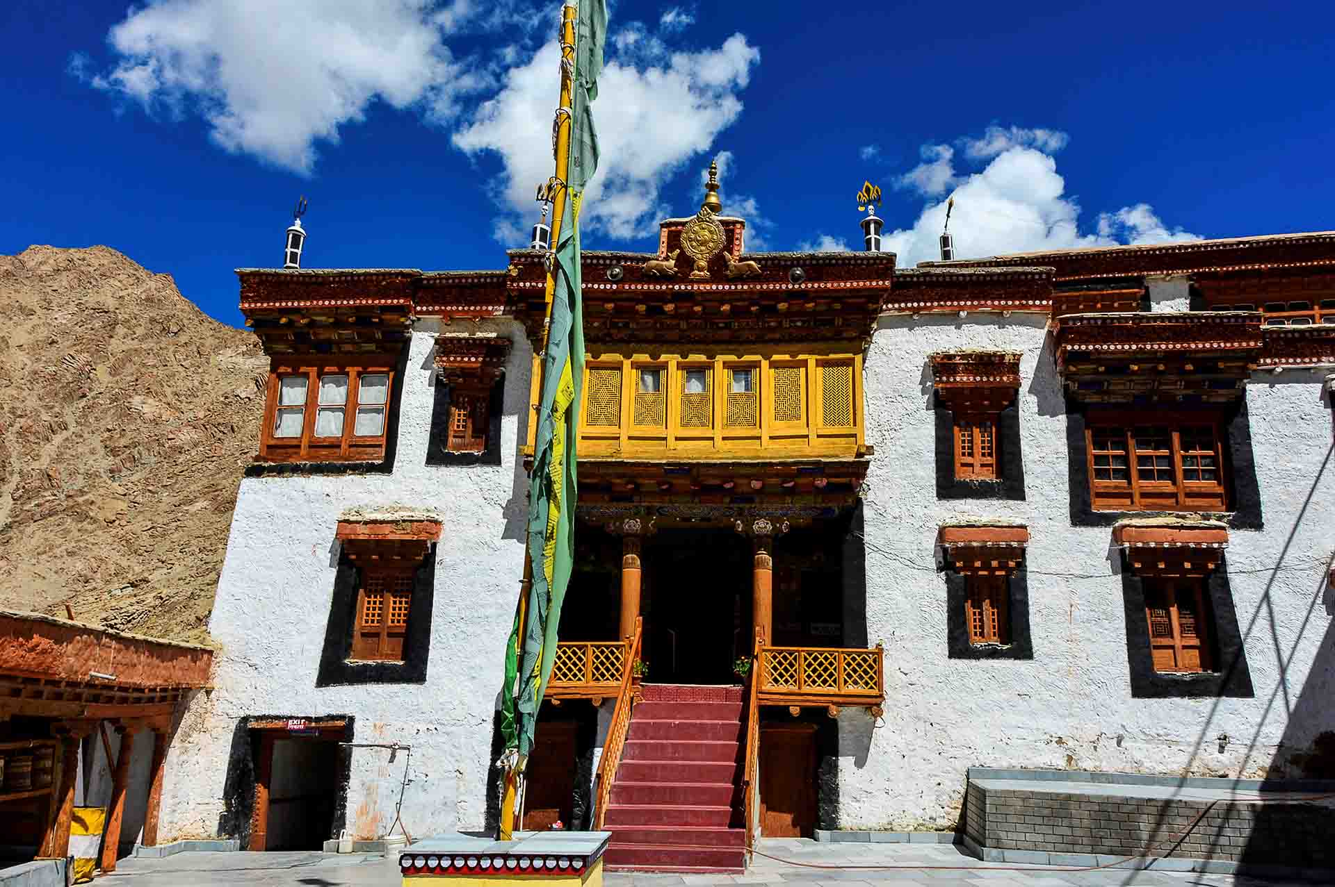
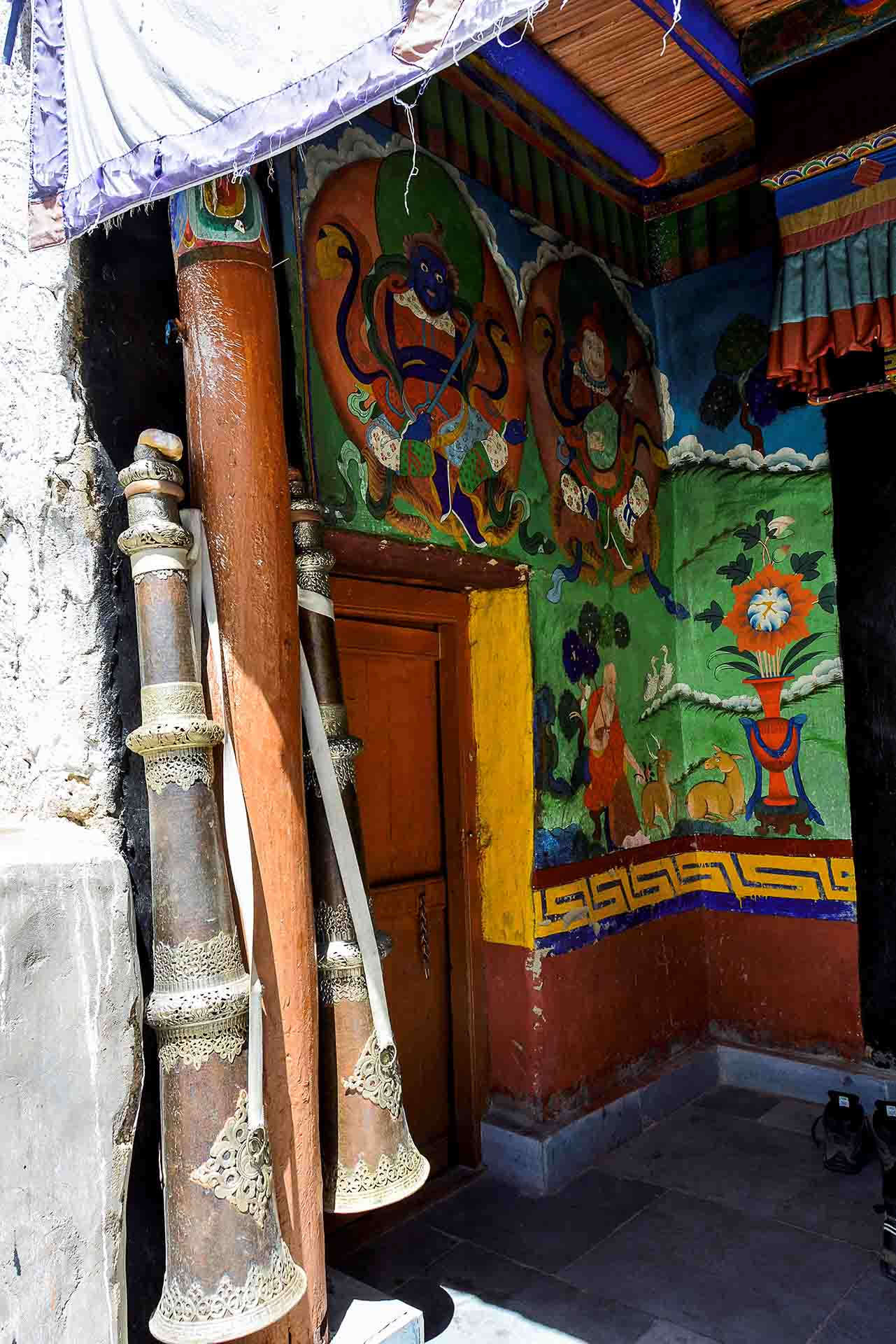
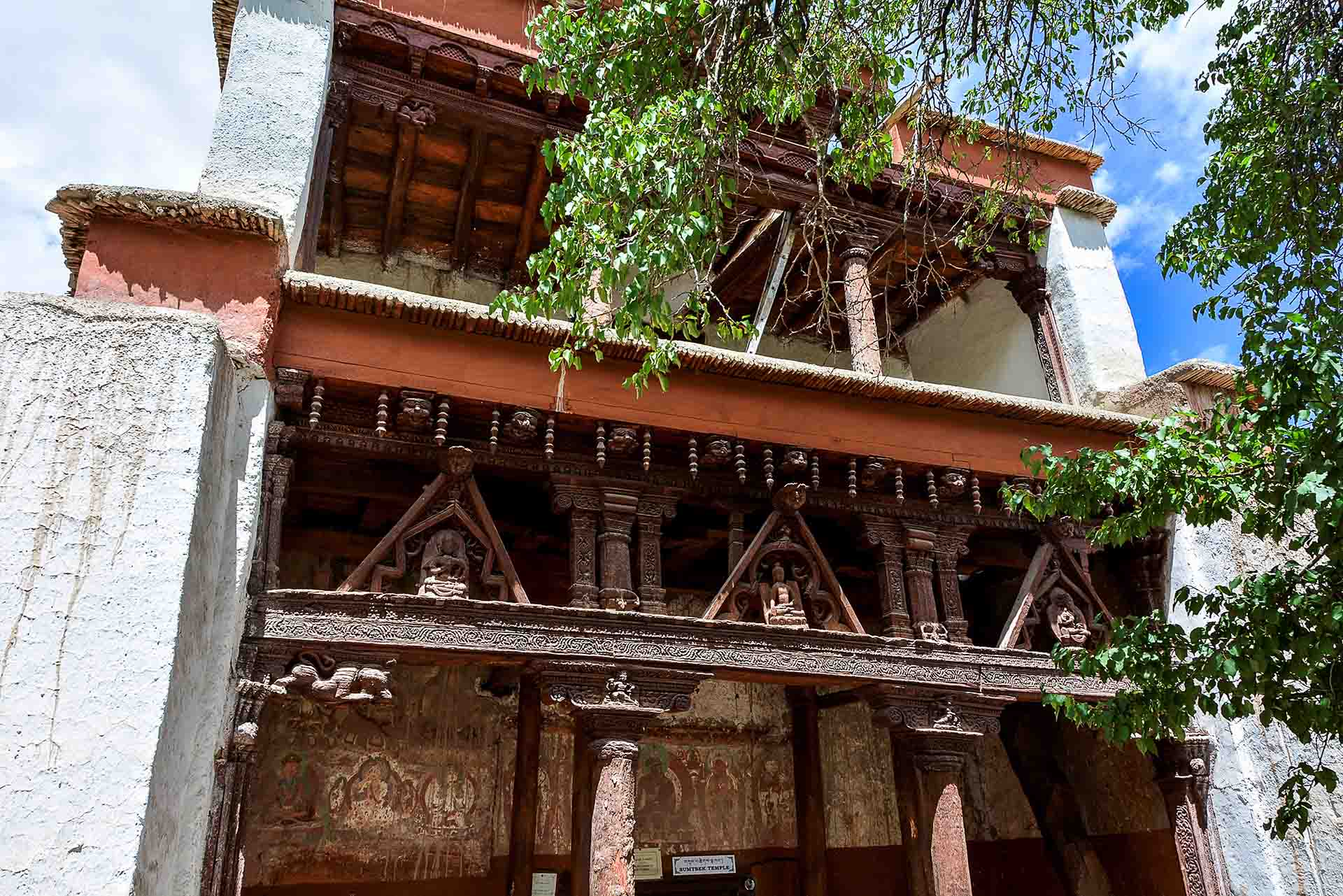
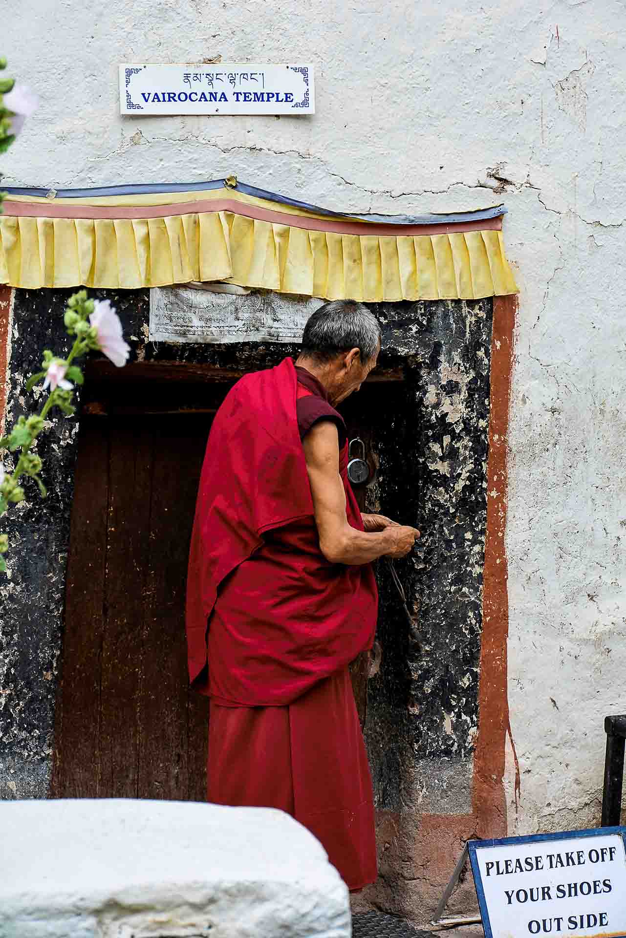
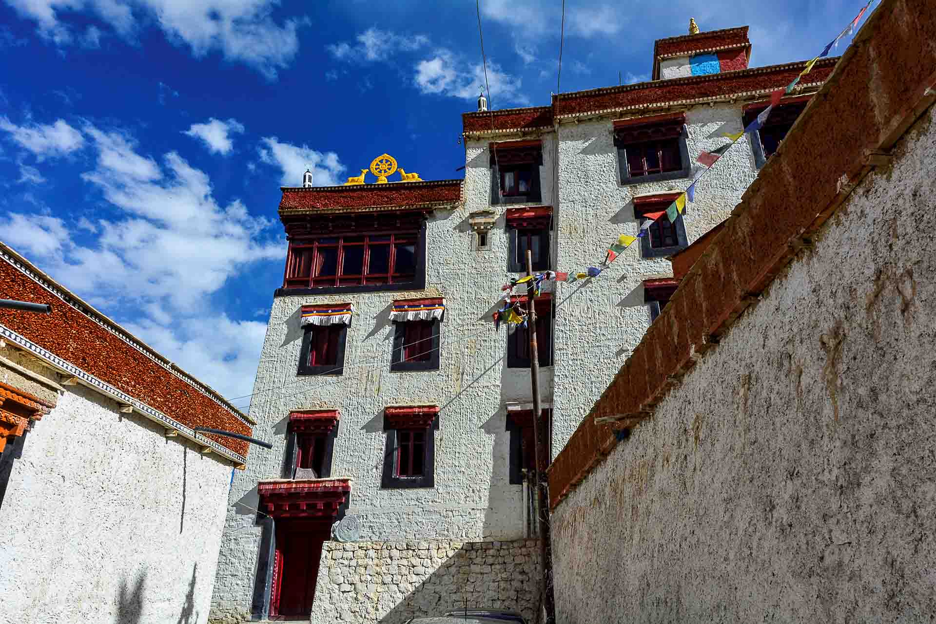
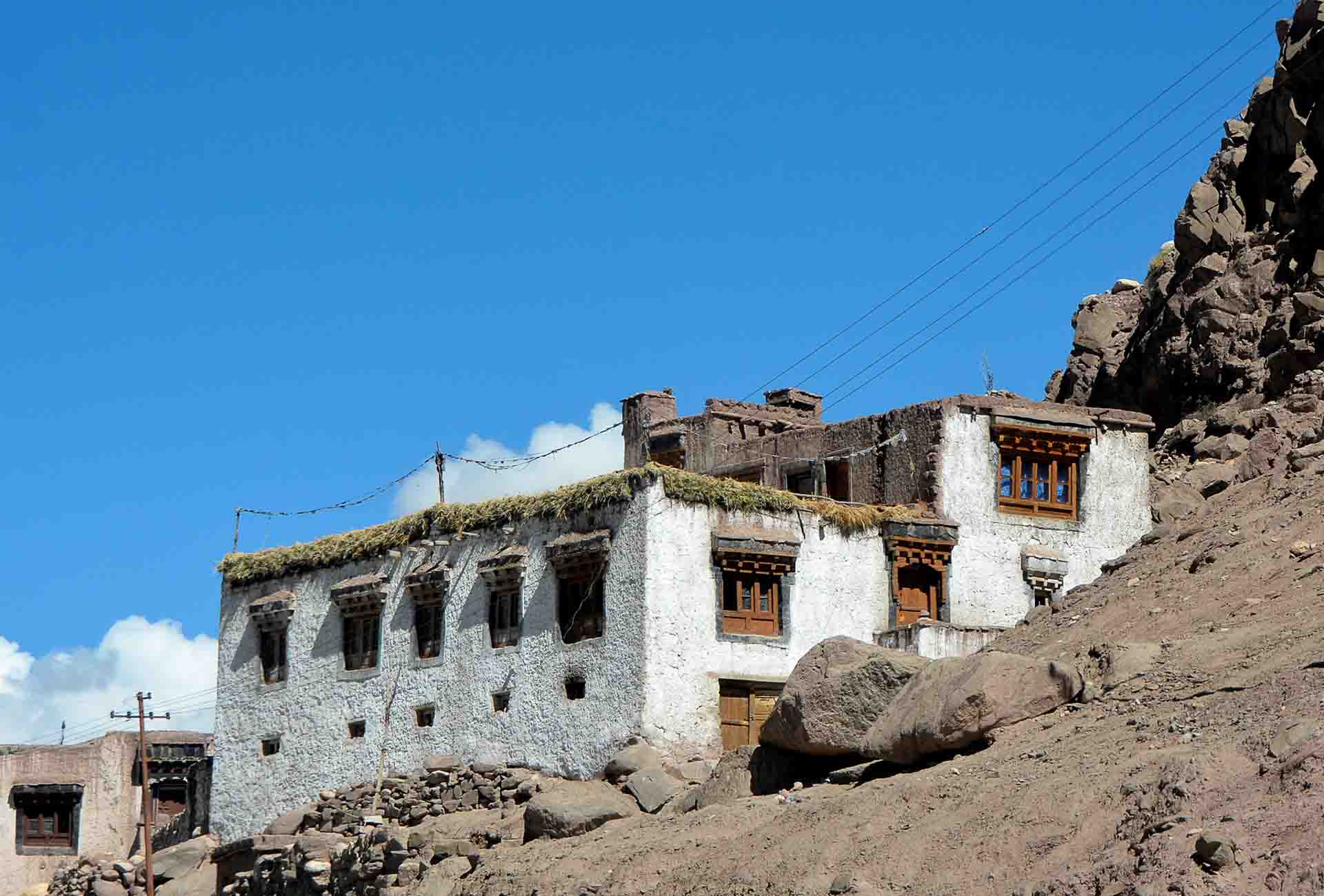
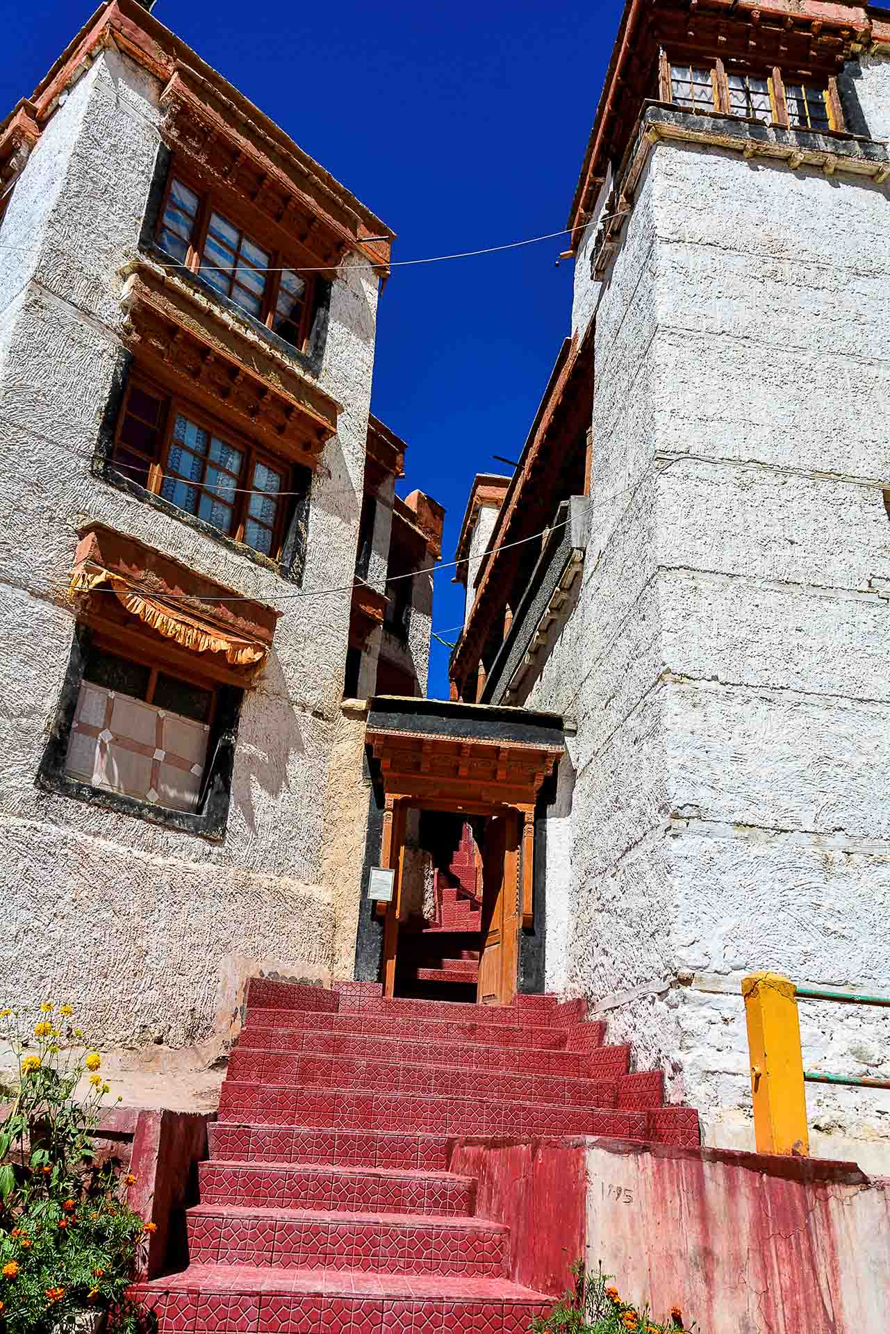
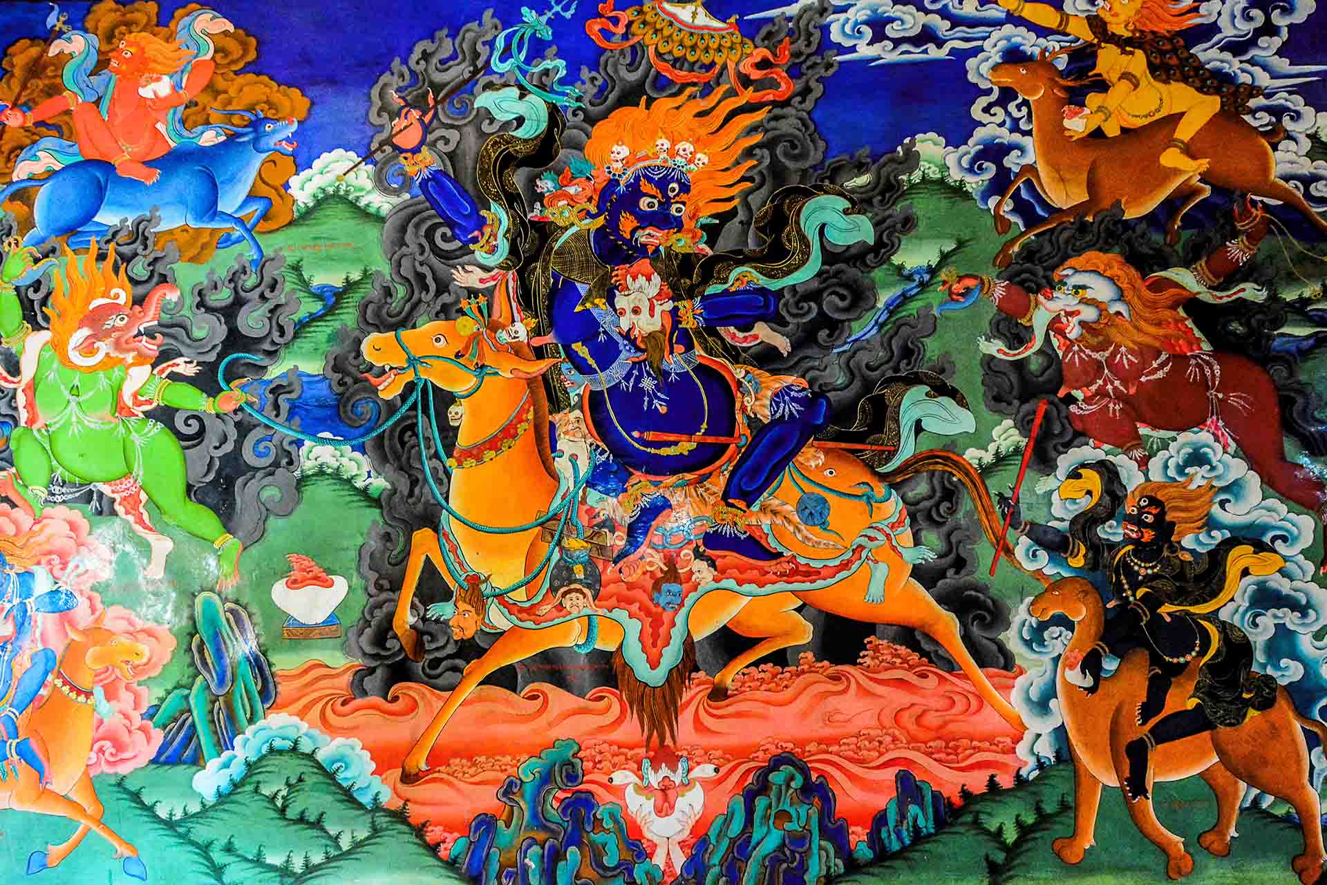
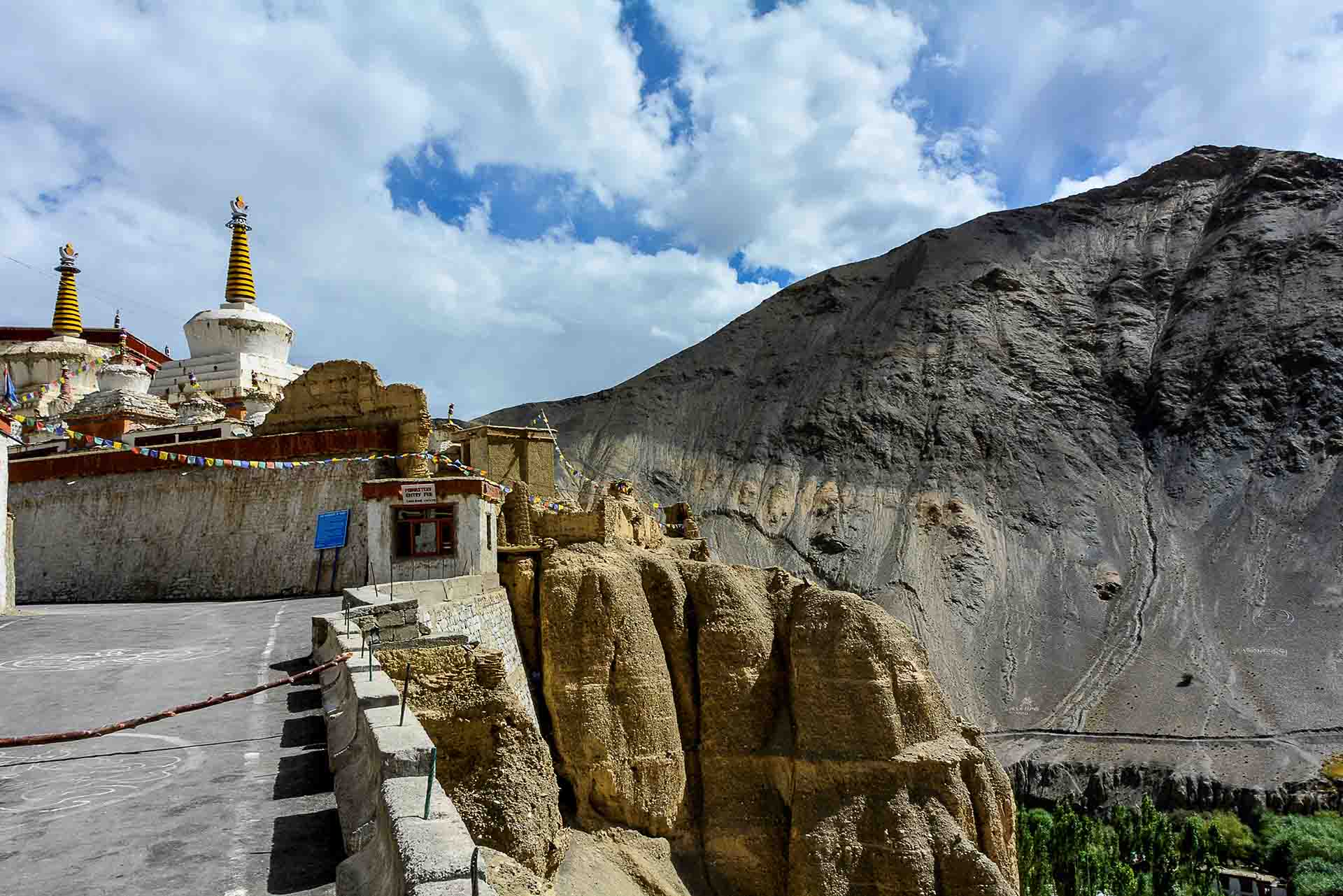
65 Km from Leh, at an altitude of 3.500m+, very close to Likir Gompa, we visited the second monastery, the Alchi Gompa, of the 10th century; very small and different from other monasteries, with elaborate wood carvings and art pieces comparable to baroque style and older well preserved frescoes in Ladakh (no photos allowed).
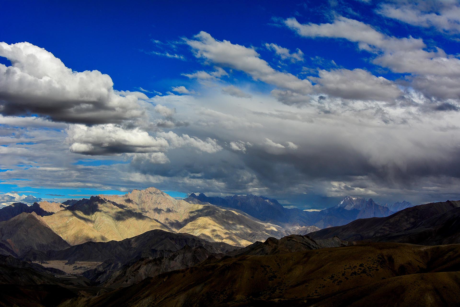
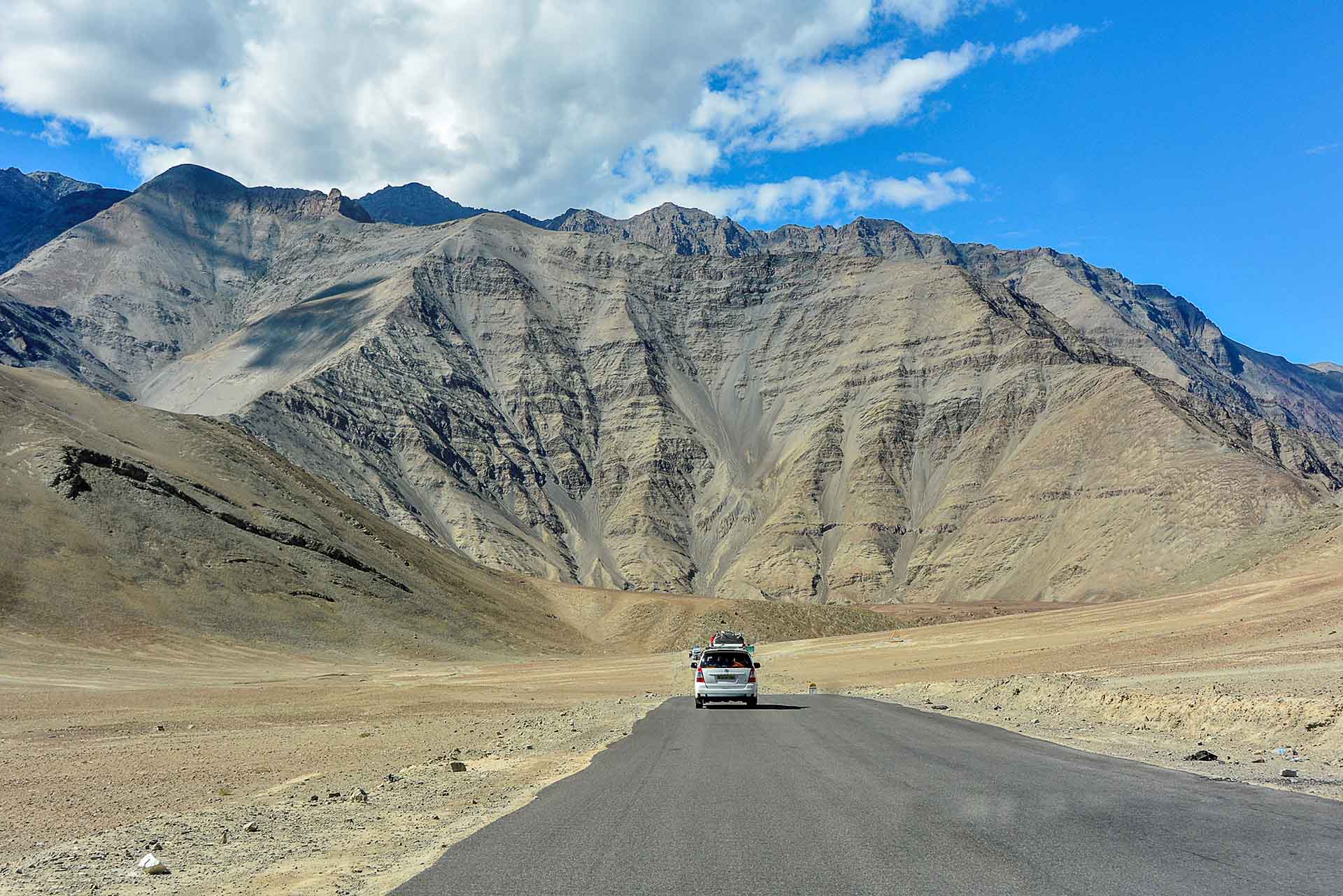
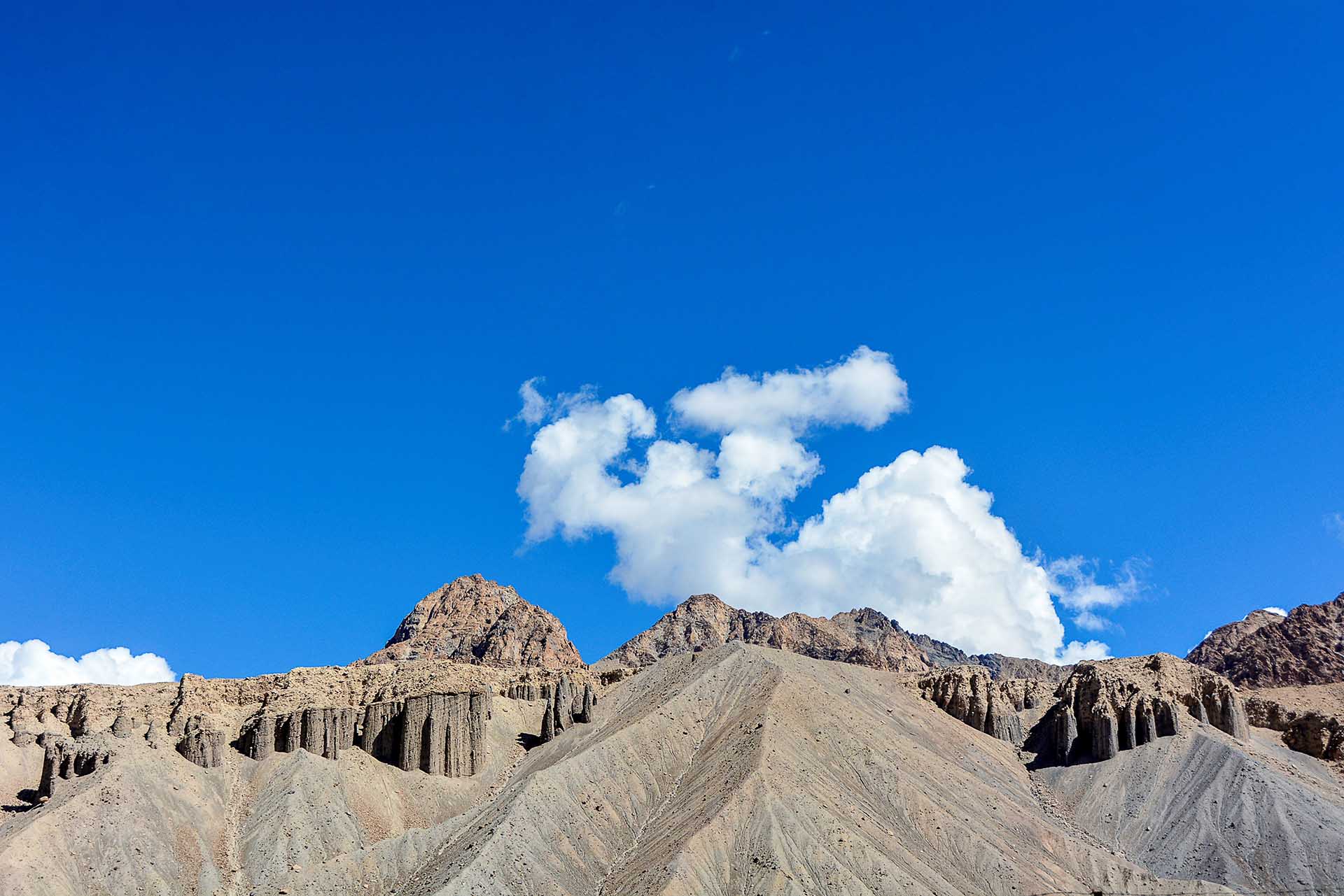
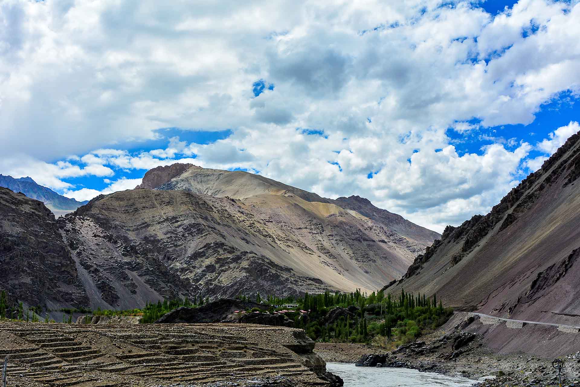
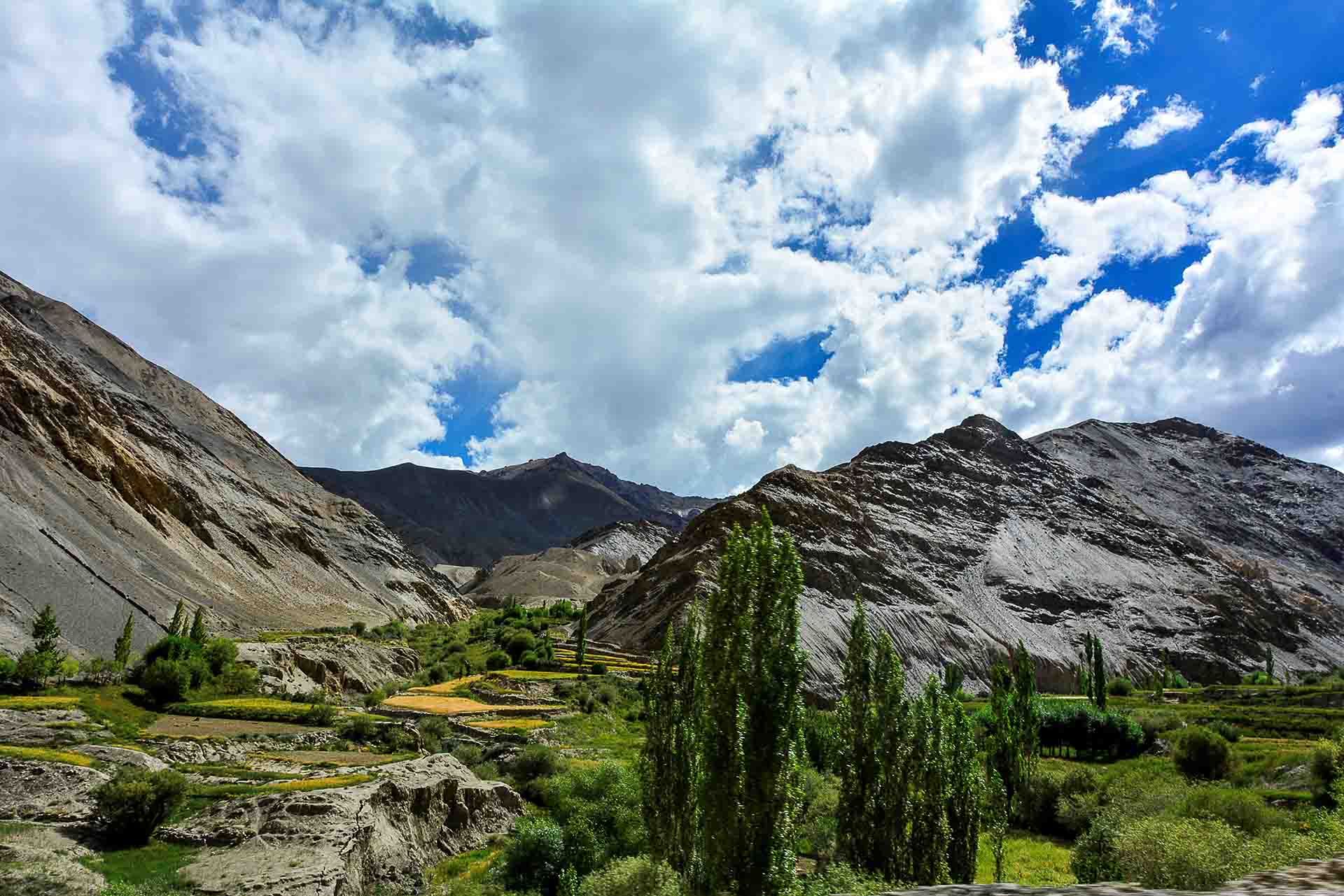
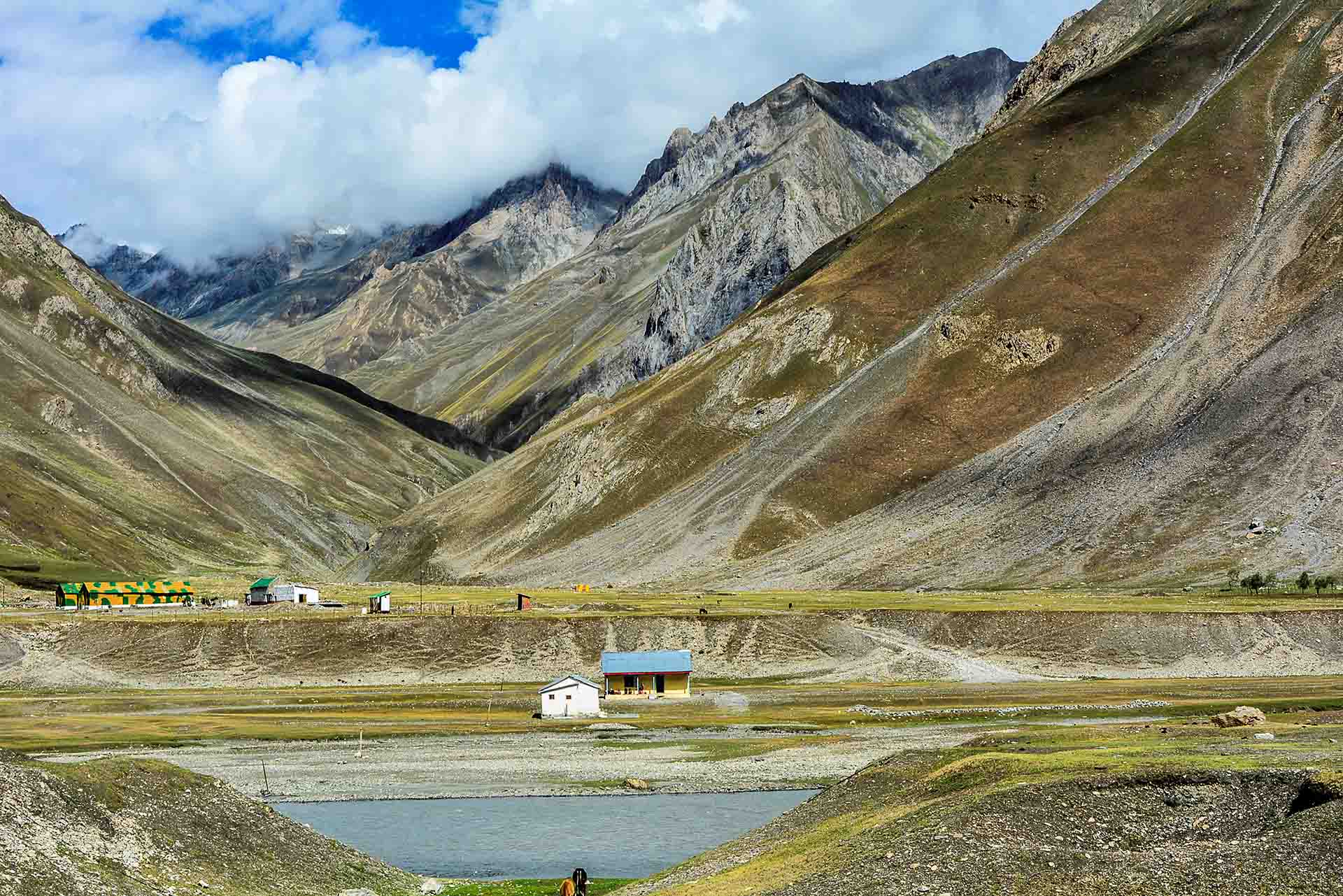
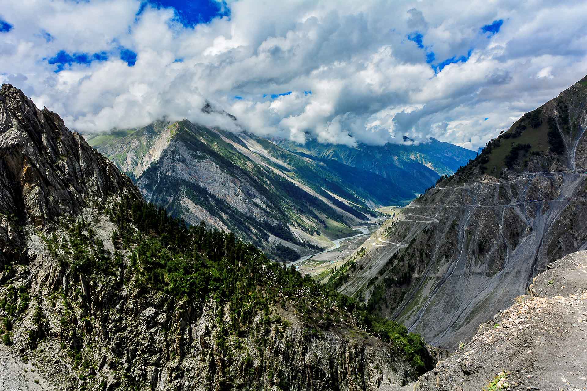
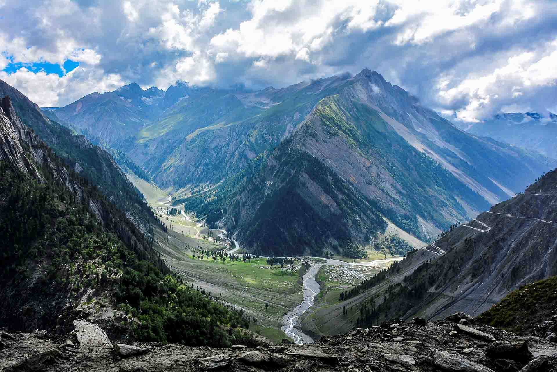
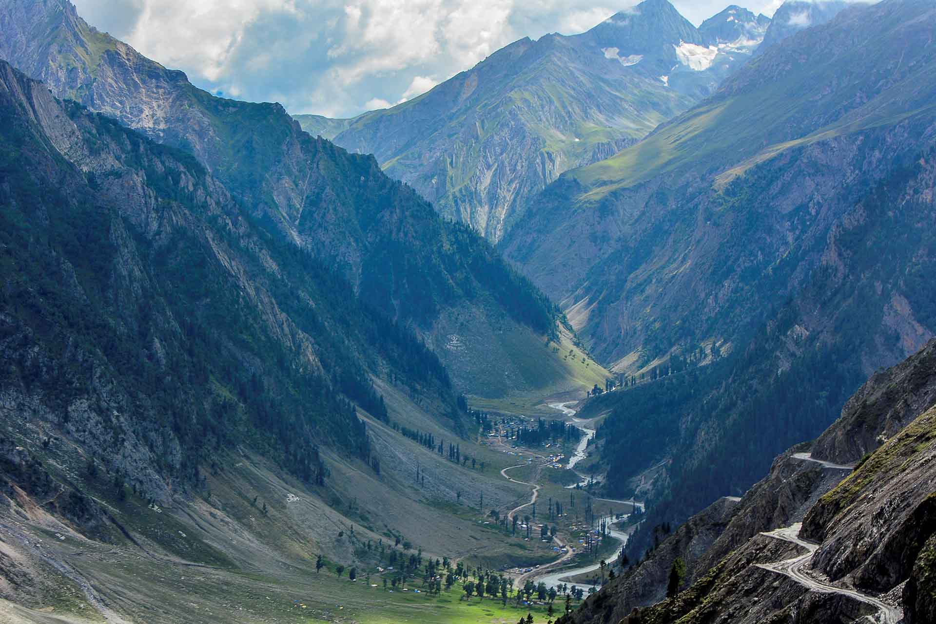
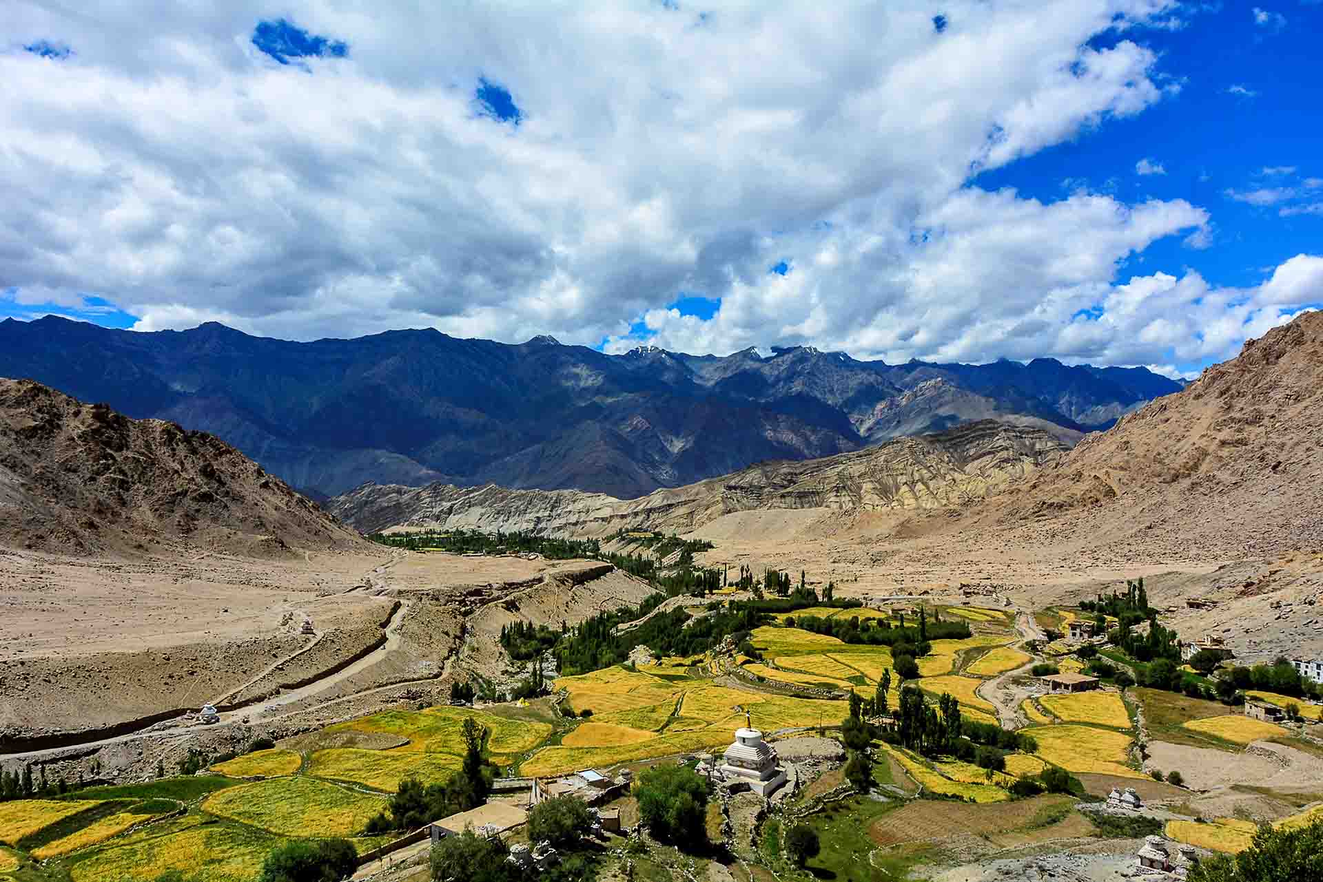
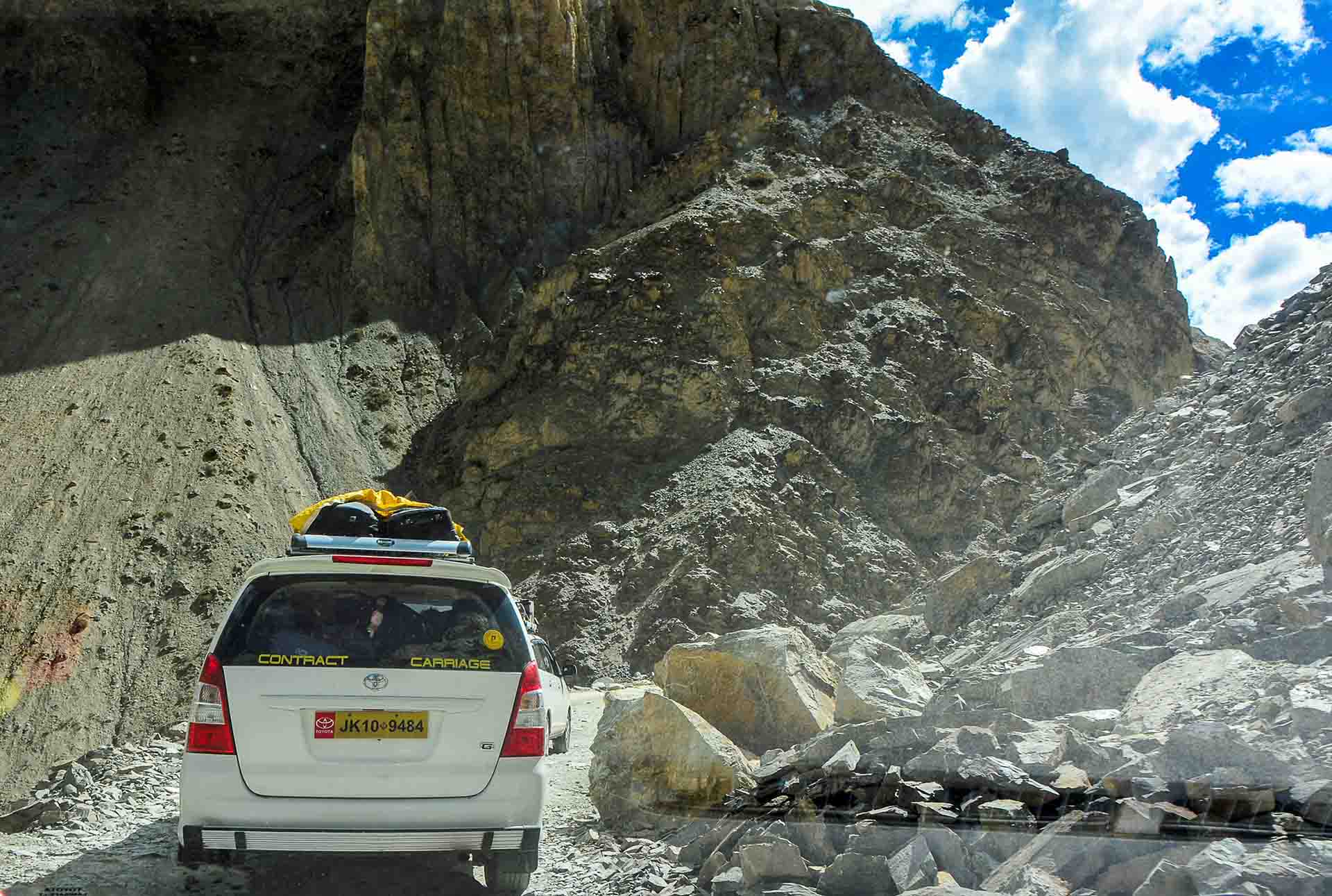
The journey continues with frequent landscape alternations...
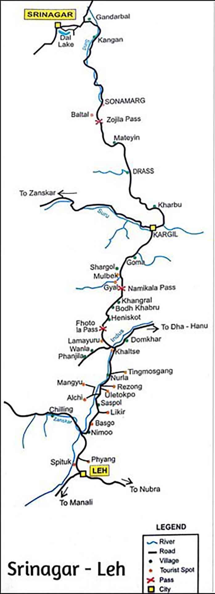
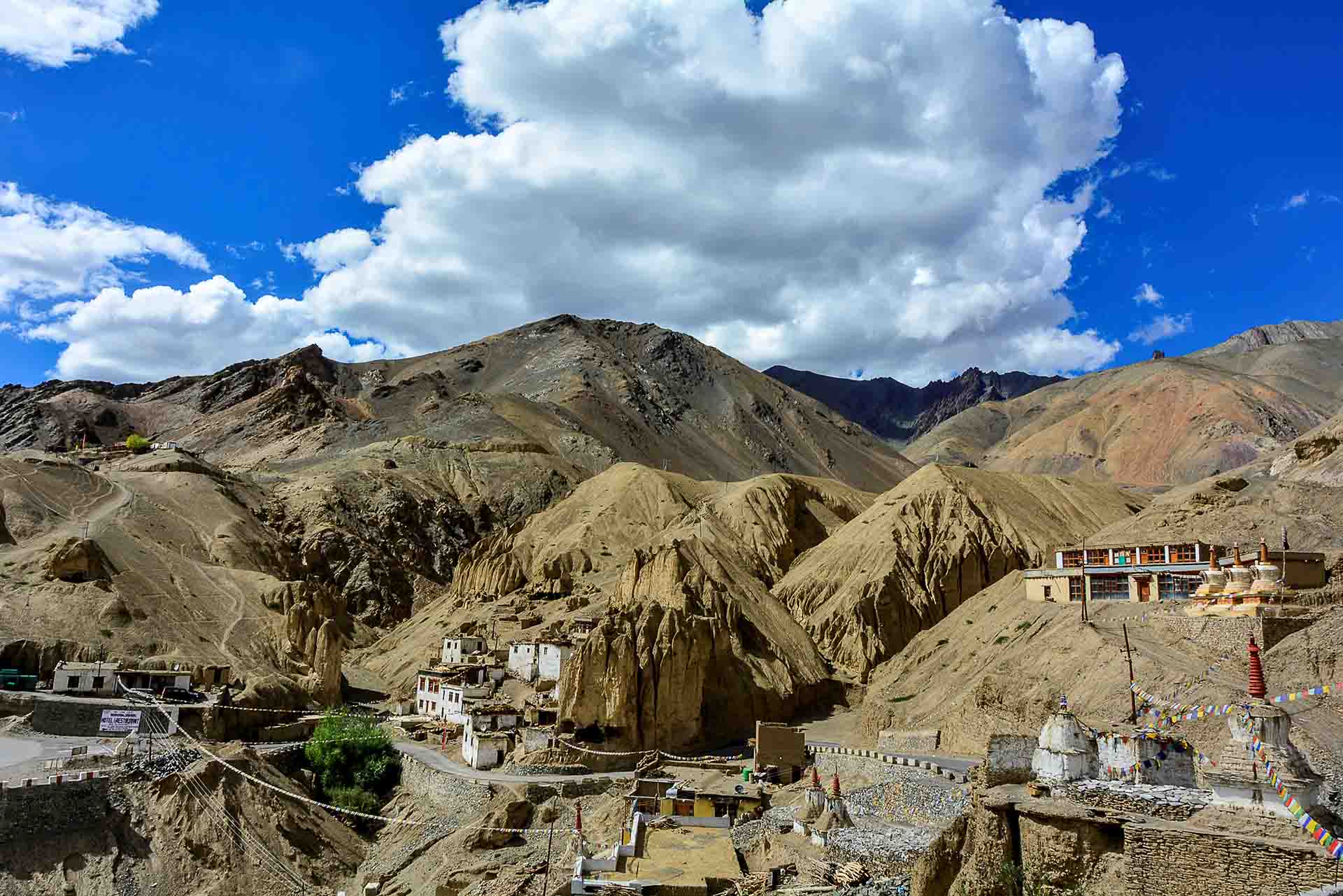
125 Km from Leh, right on the roadside, at 3.510m+ the monastery Lamayuru emerged. It overlooks the entire area, nested at the top of a rock. It is one of the oldest and largest "gompas" in Ladakh (9th or 10th century). It hosts about 150 monks.
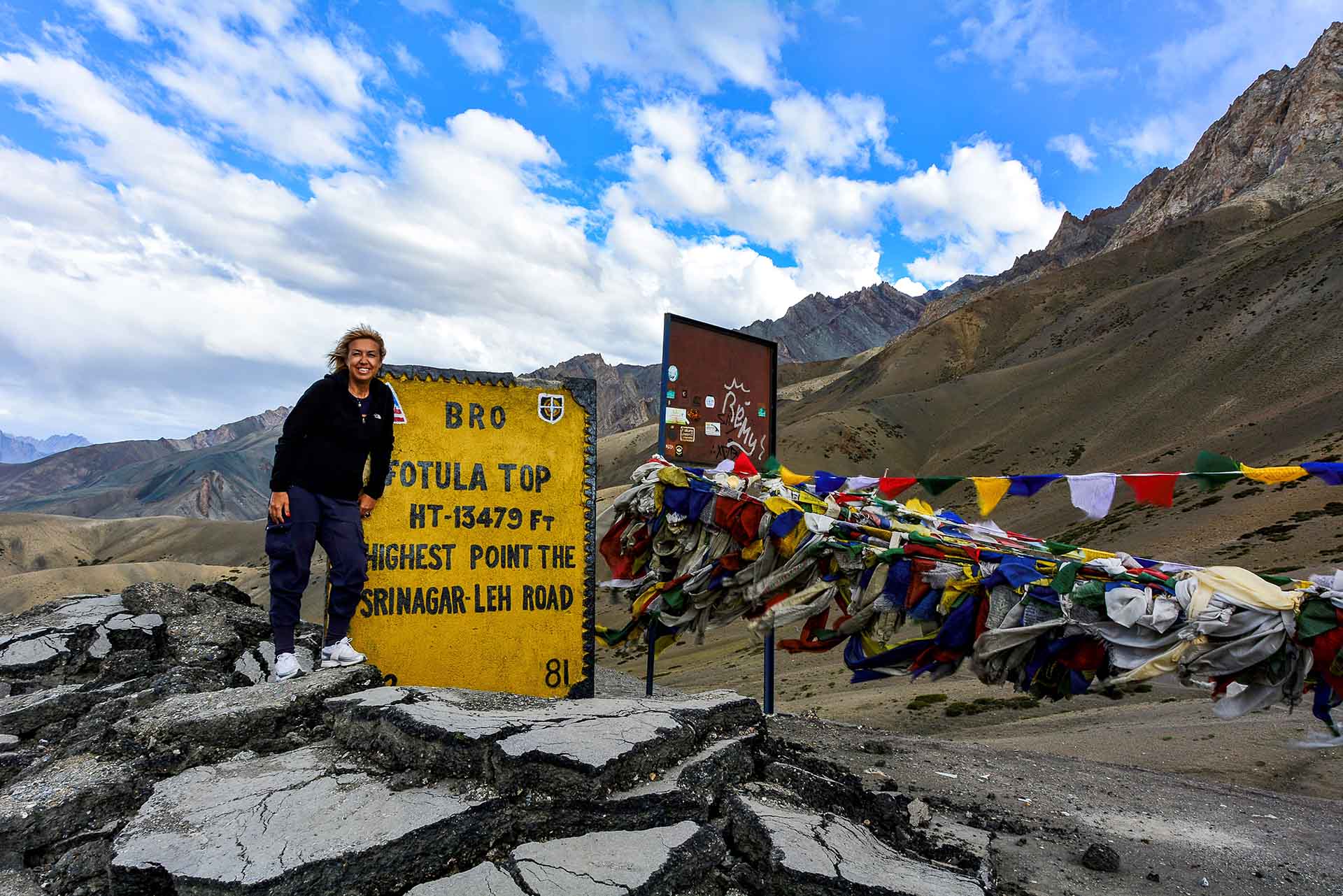
As we continue our ascent, the landscape becomes more scraggy. The rough winter weather has hidden the last traces of asphalt roads and, 9,3Km away from Lamayaru Gompa, we arrive at the pass Fotu-La, the highest point of our course, at an altitude of 4.108m+. Just like in all Himalayan passages "prayer flags" were flaunted there too!
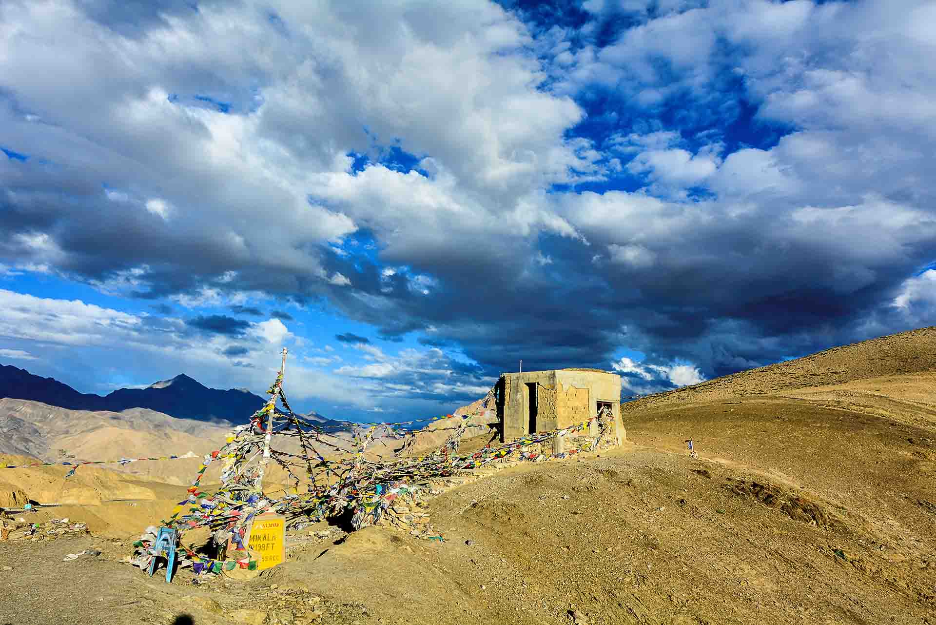
Namika-La was the second highest pass of our journey, at 3.700m+
274 Km from Leh we arrived in the town Kargil (110Km from Lamayaru Gompa) at an altitude of 2.676m, which is the second biggest town in Ladakh, after Leh, with population of 150.000. Kargil is known from the homonymous war episode between India and Pakistan in 1999, as an area controlled by the Hindi armed forces. We arrived late in the evening, spent the night there and woke up very early in the morning, to do the most interesting and dangerous part of the journey (204Km to Srinagar).
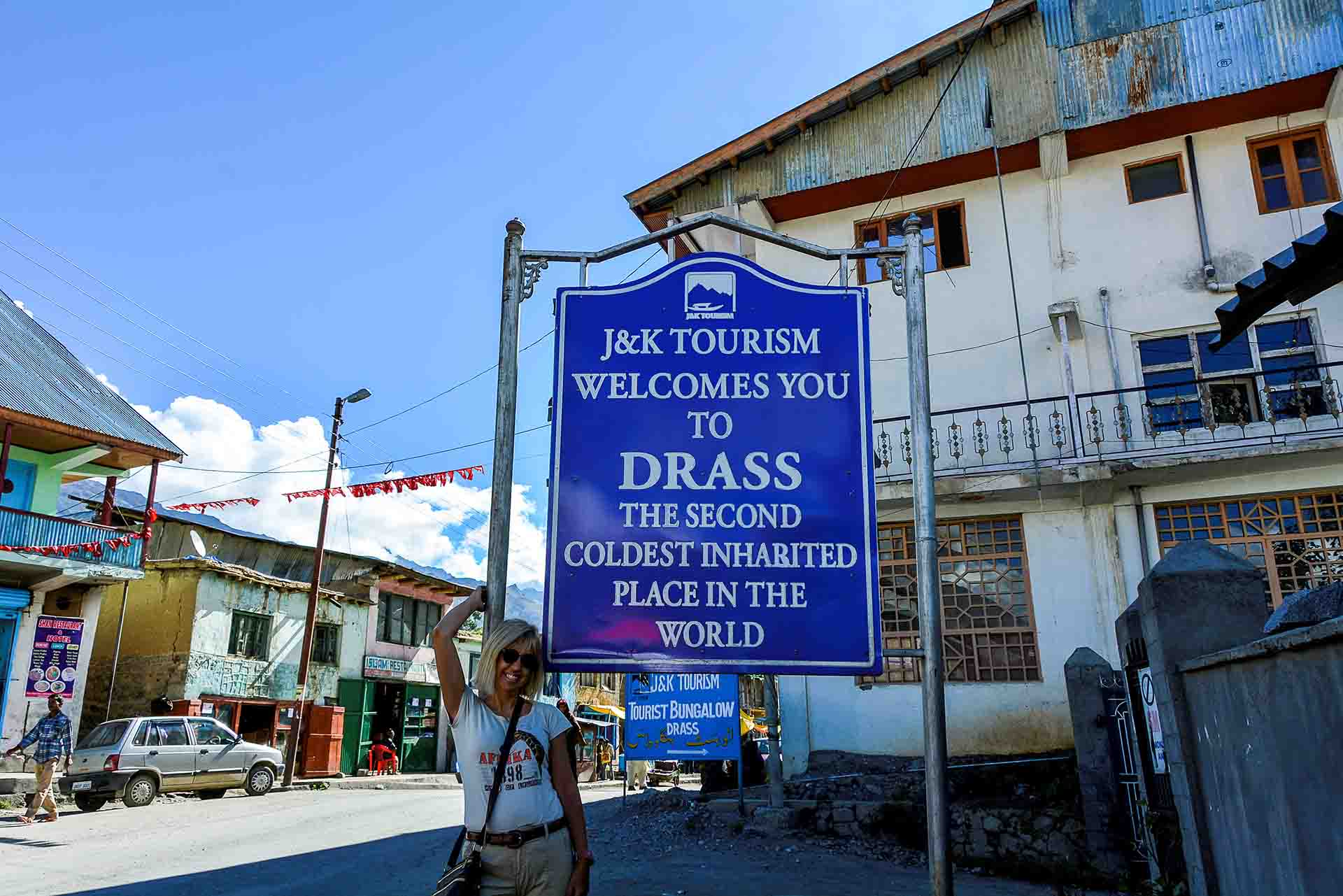
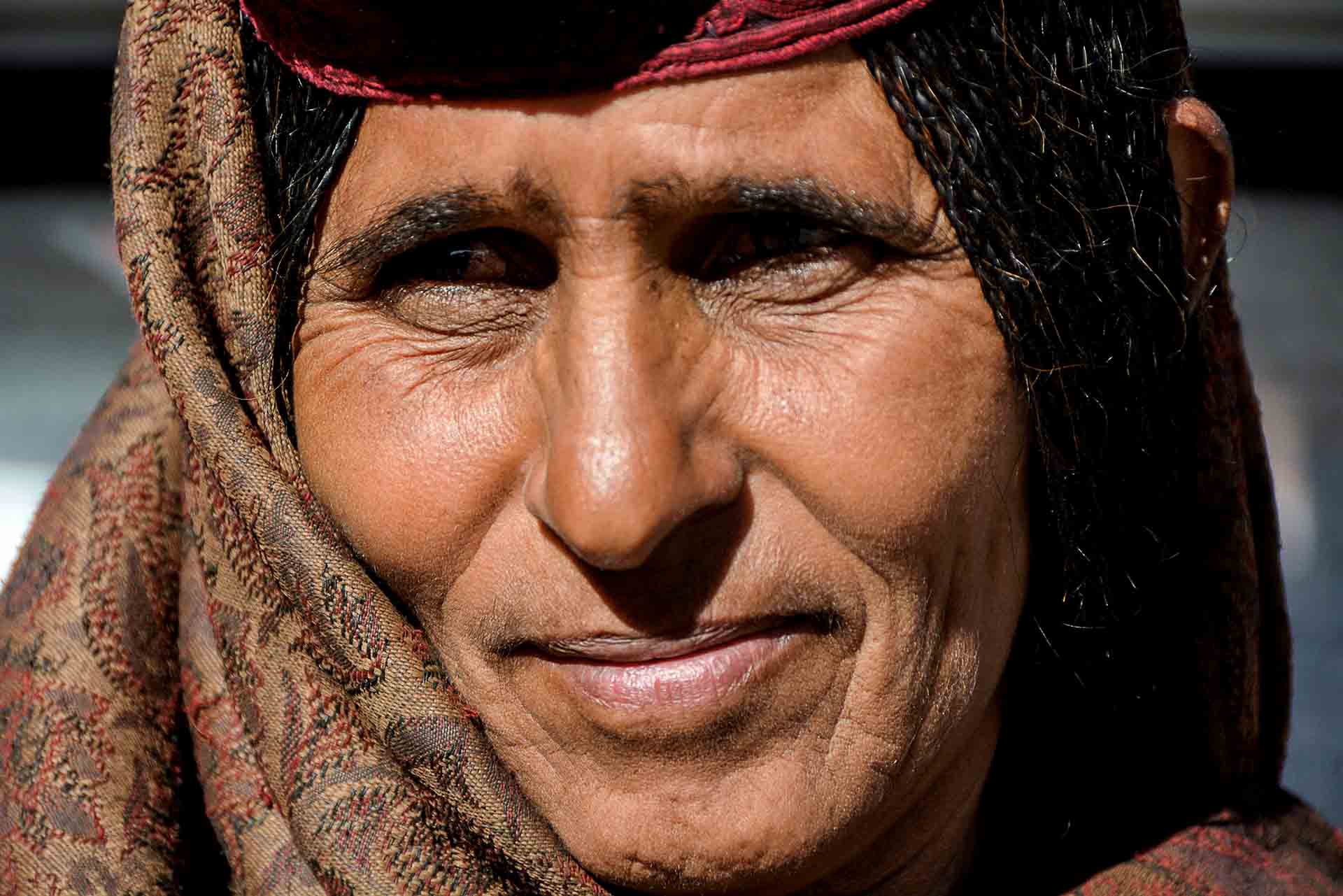
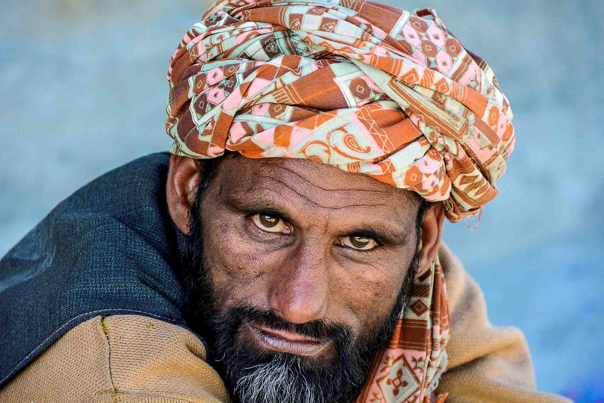
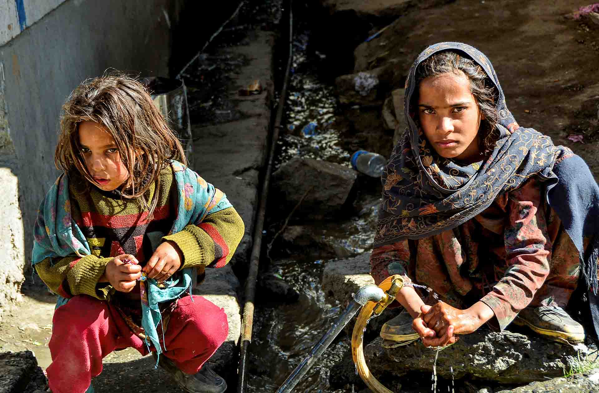
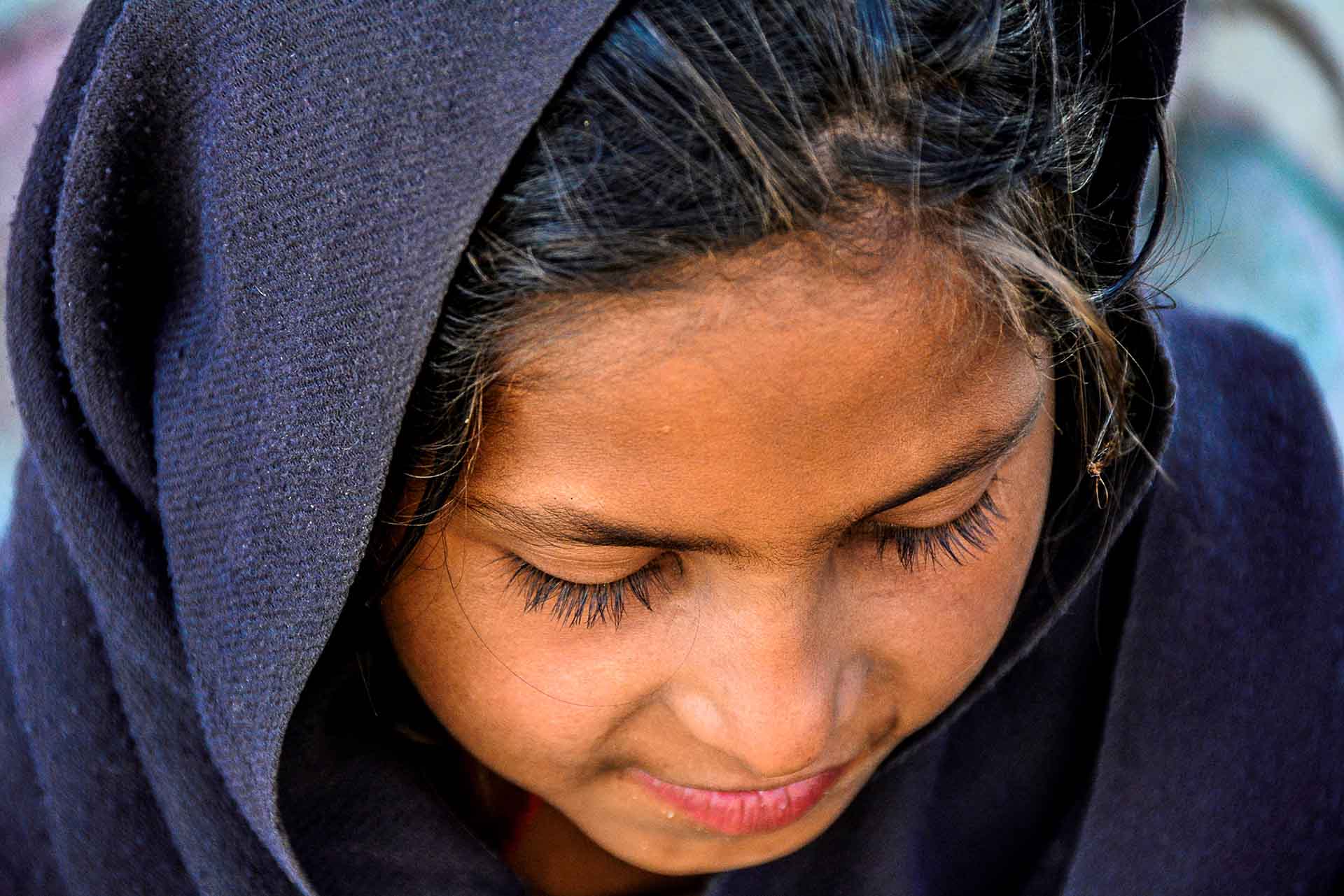
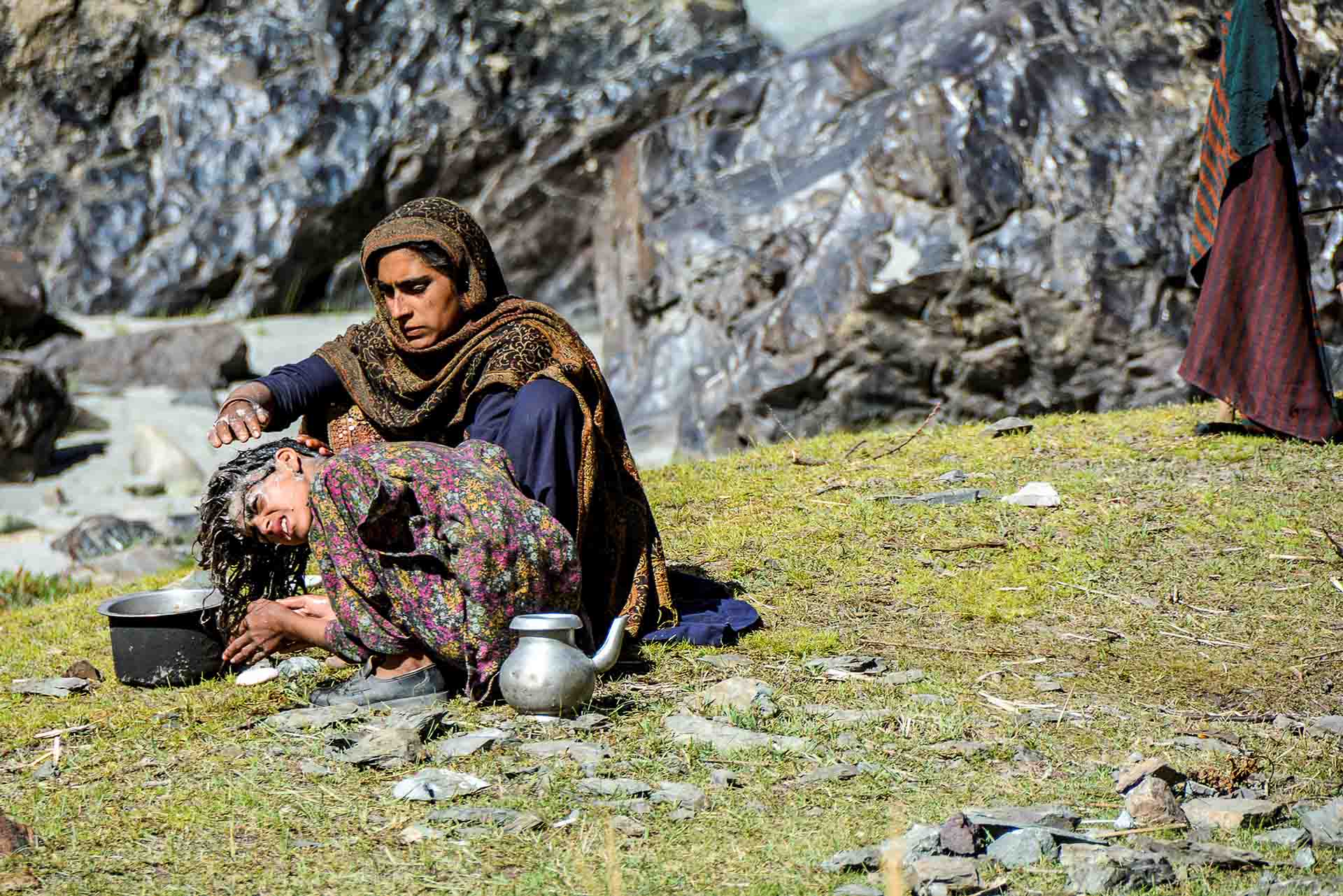
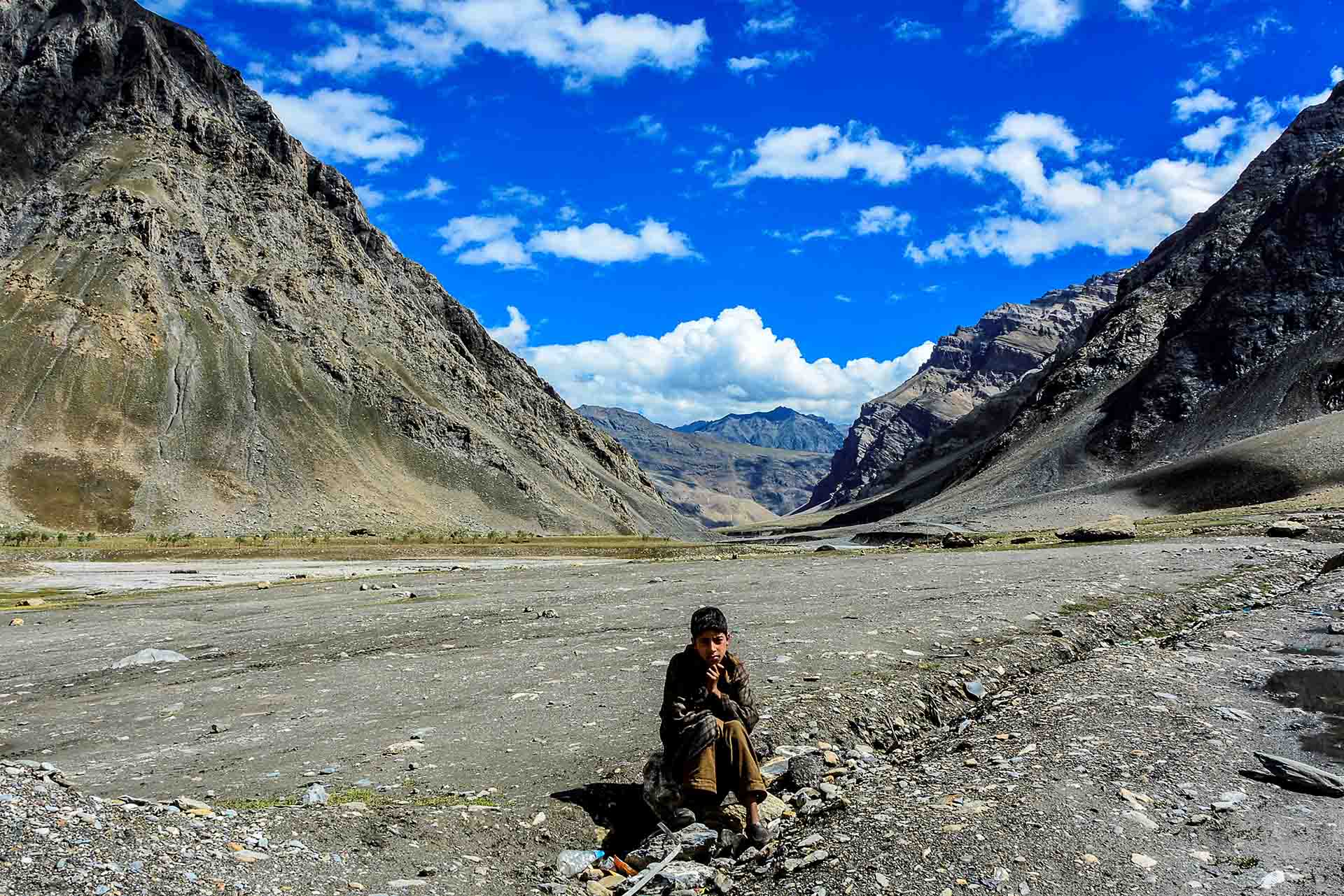
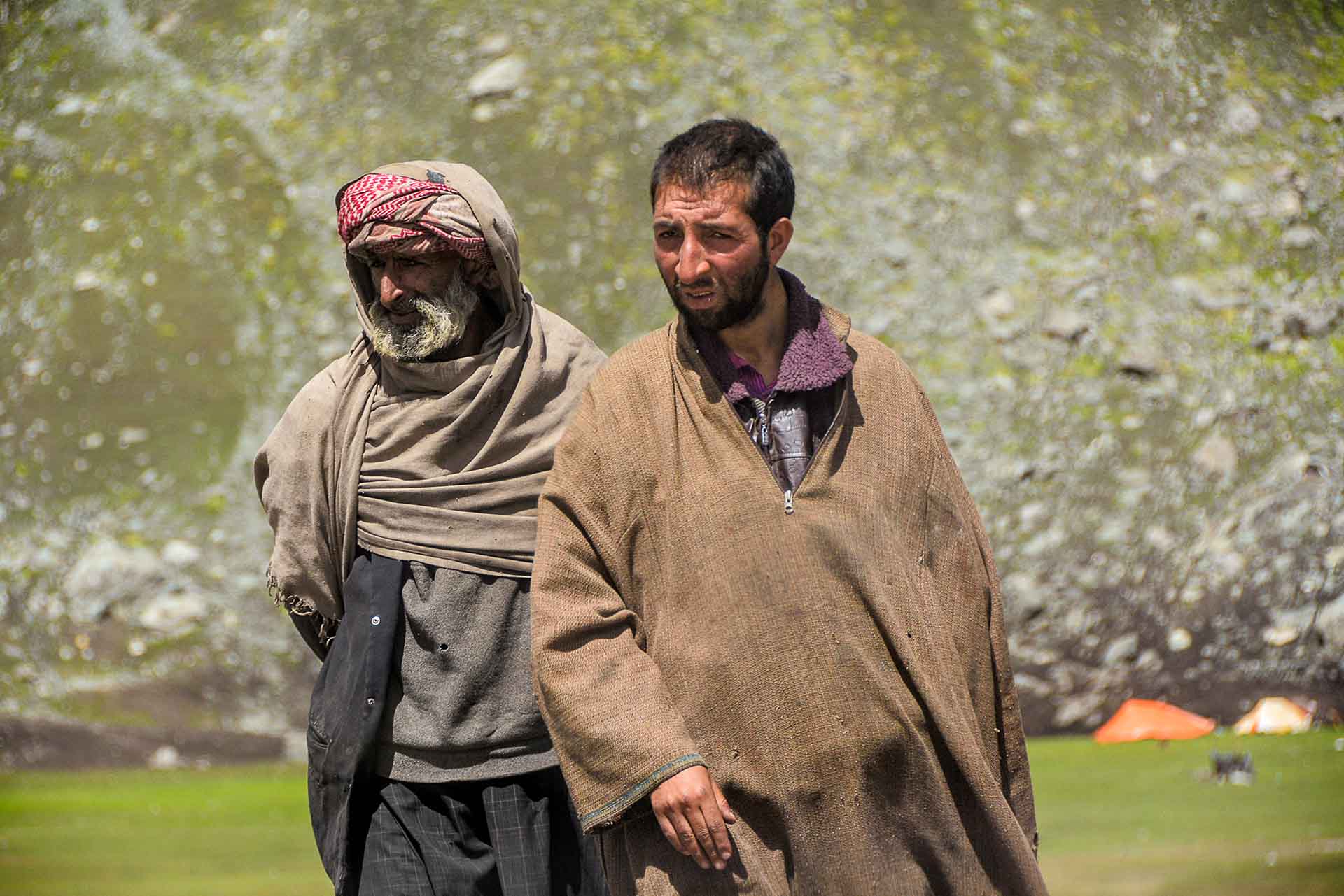
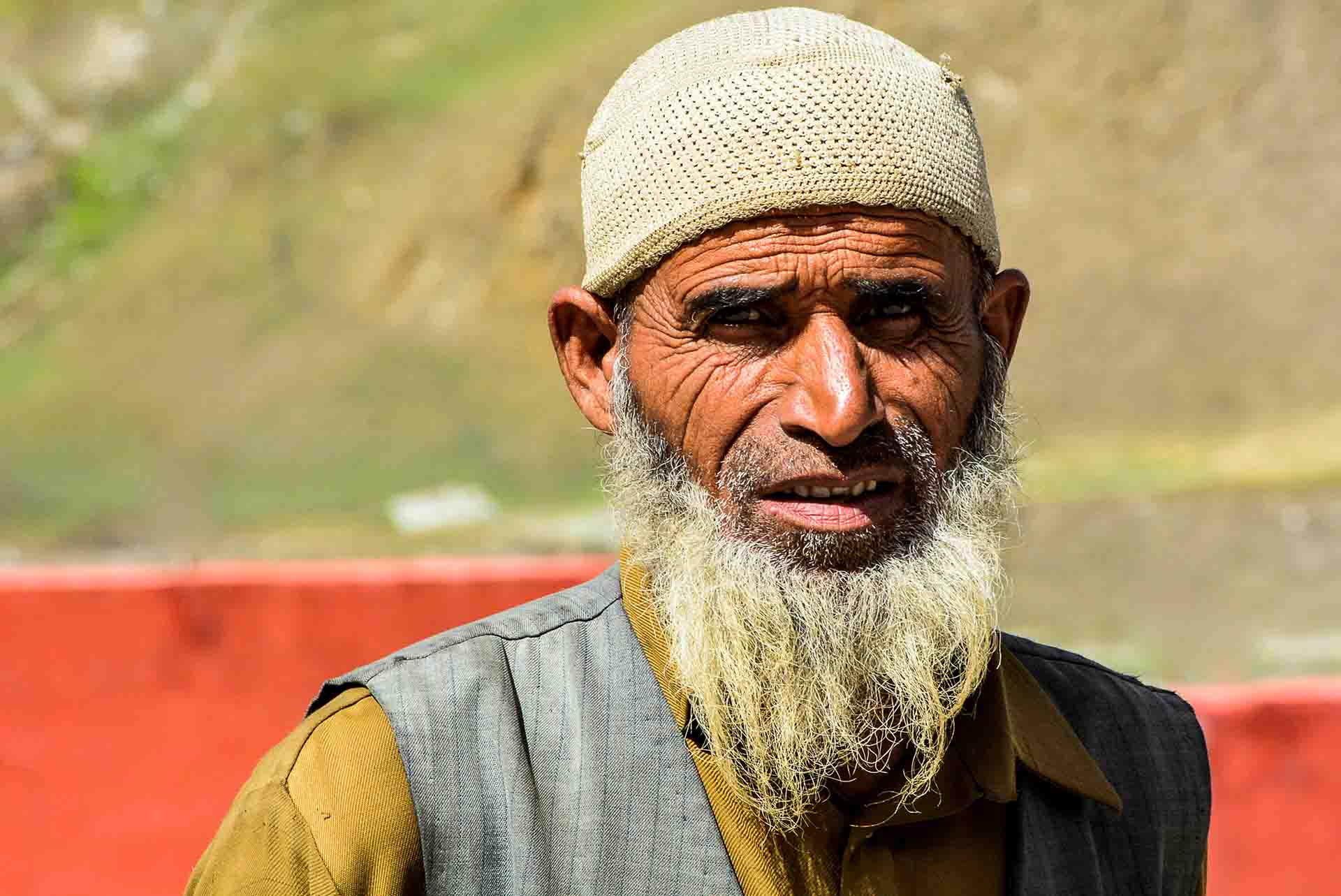
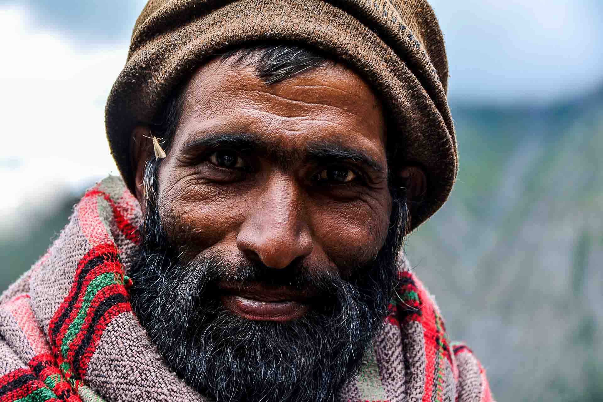
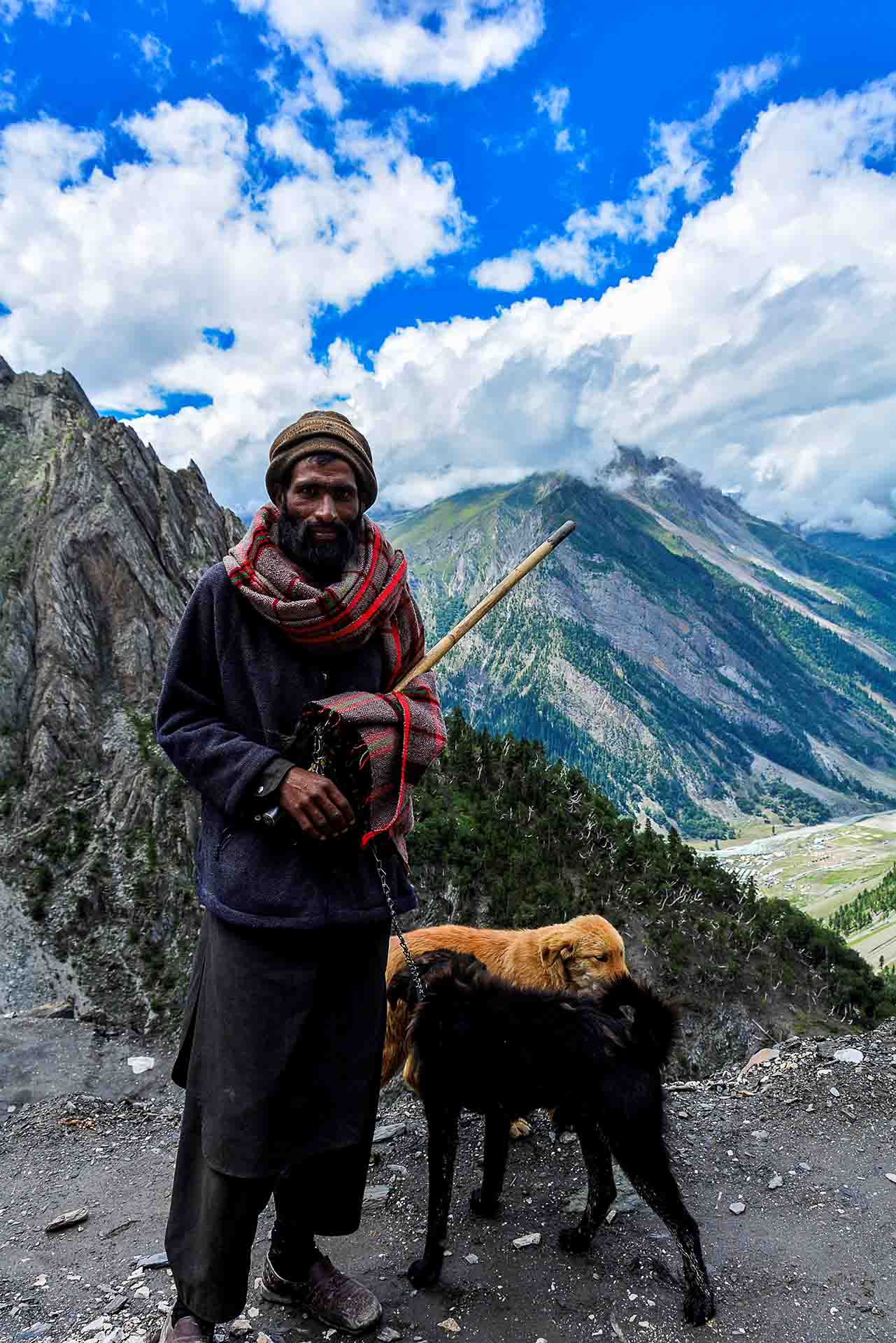
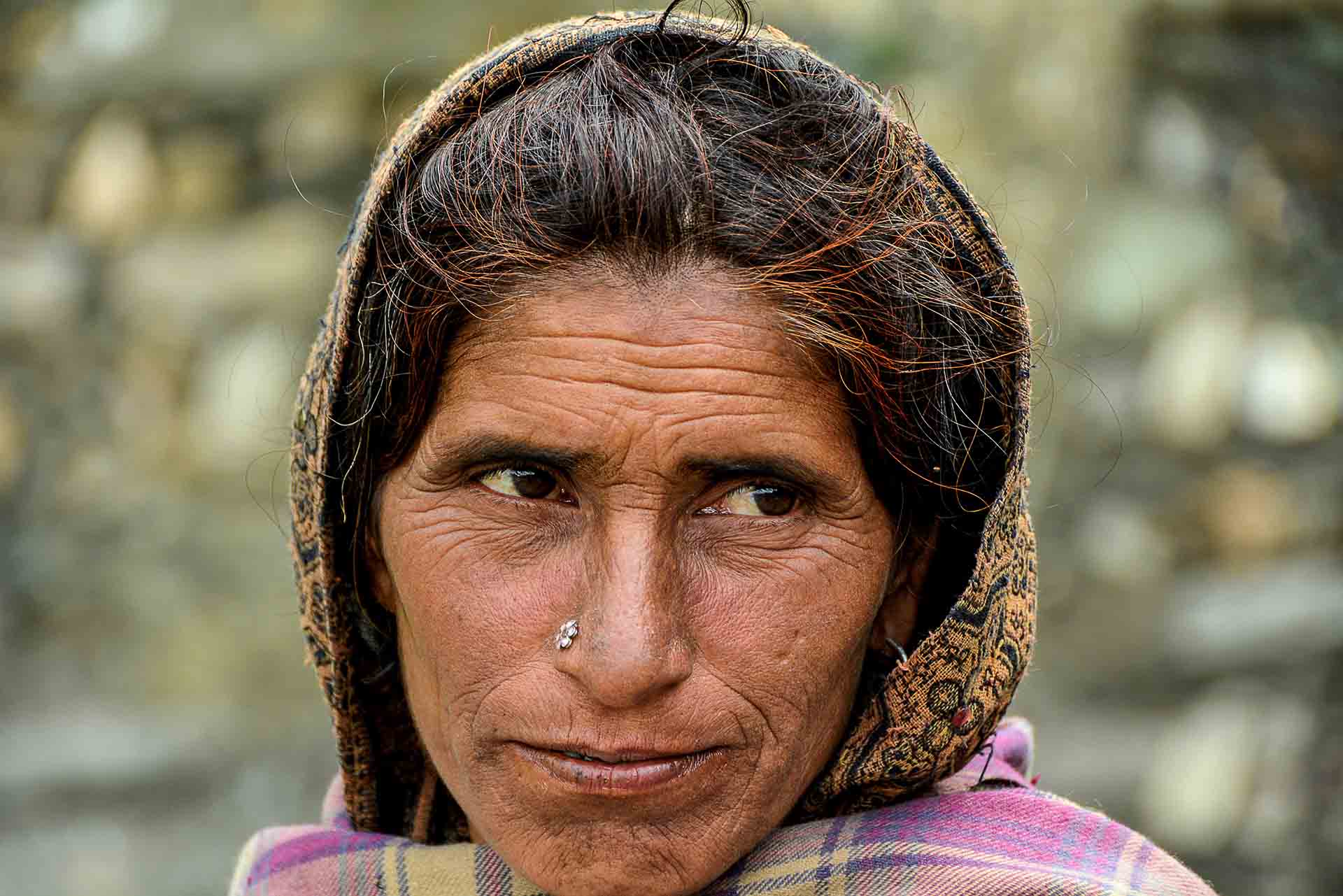
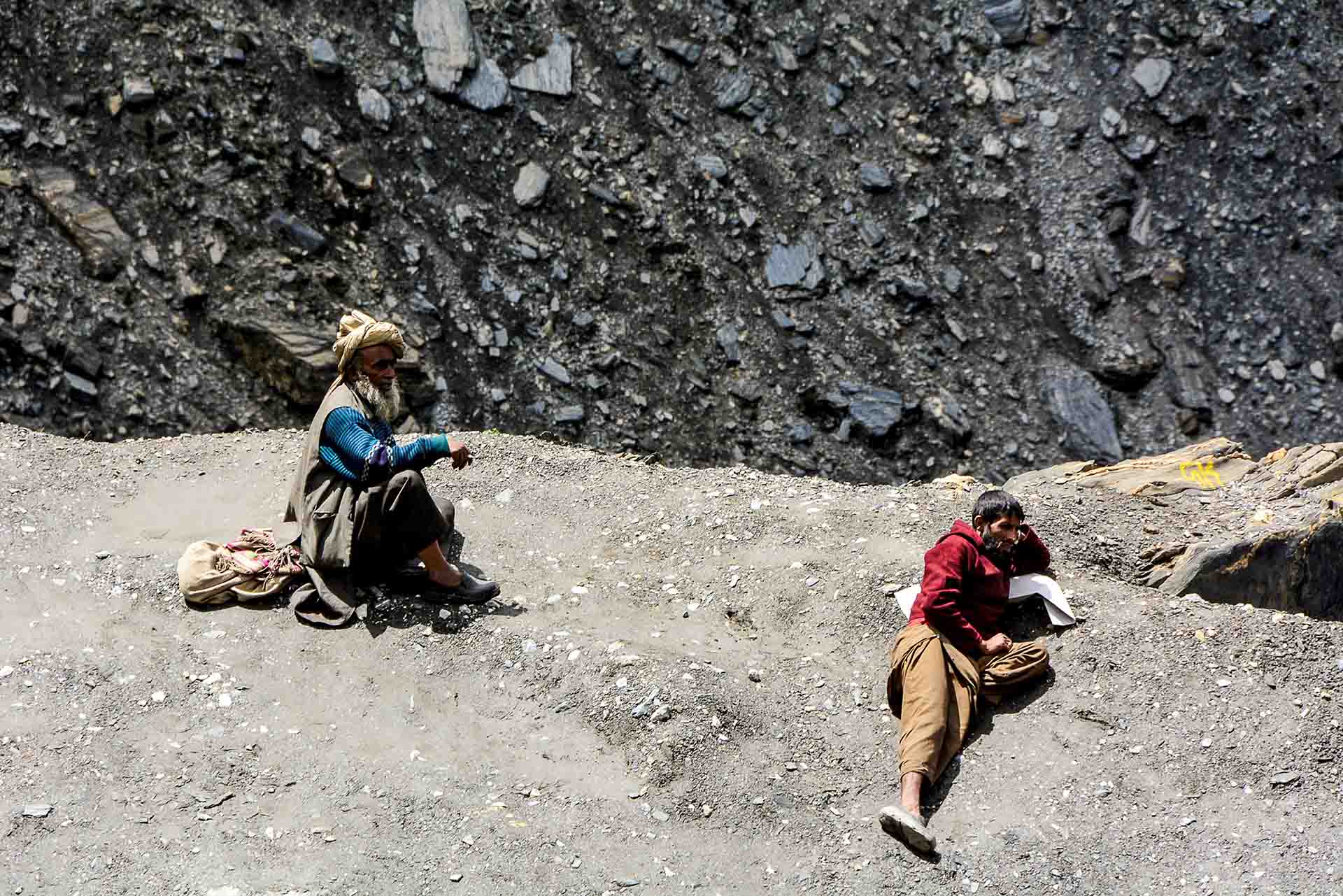
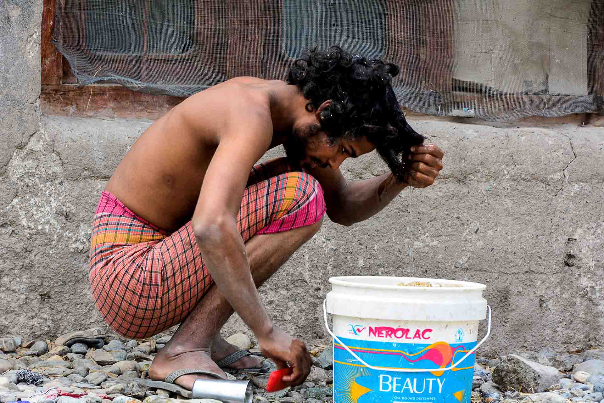
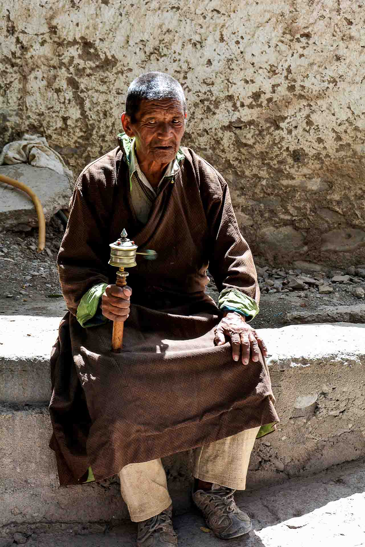
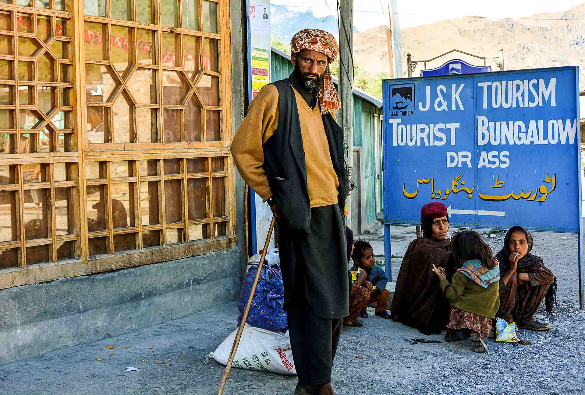
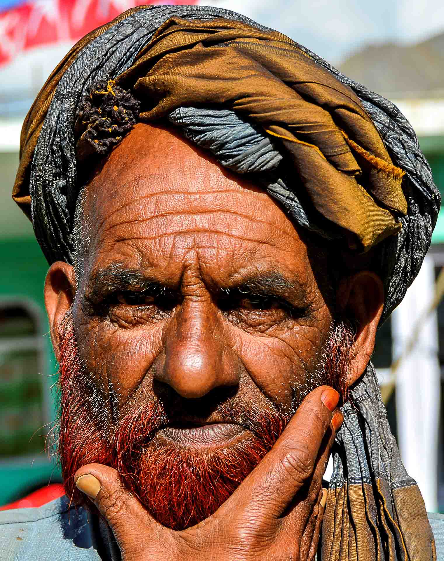
Drass, 56 Km after Kargil, at 3.500m+ is the second coldest inhabited place in the world and the biggest village between Sonmarg and Kargil, with 1.500 inhabitants. My photographic heaven... Superb portraits of the local people; particularly of an Afghan family. Could be migrants or refugees.
After the short stop at Drass, we continued and everything had this wonderful route ...
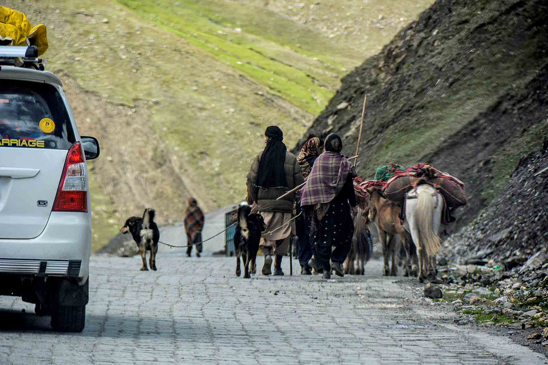
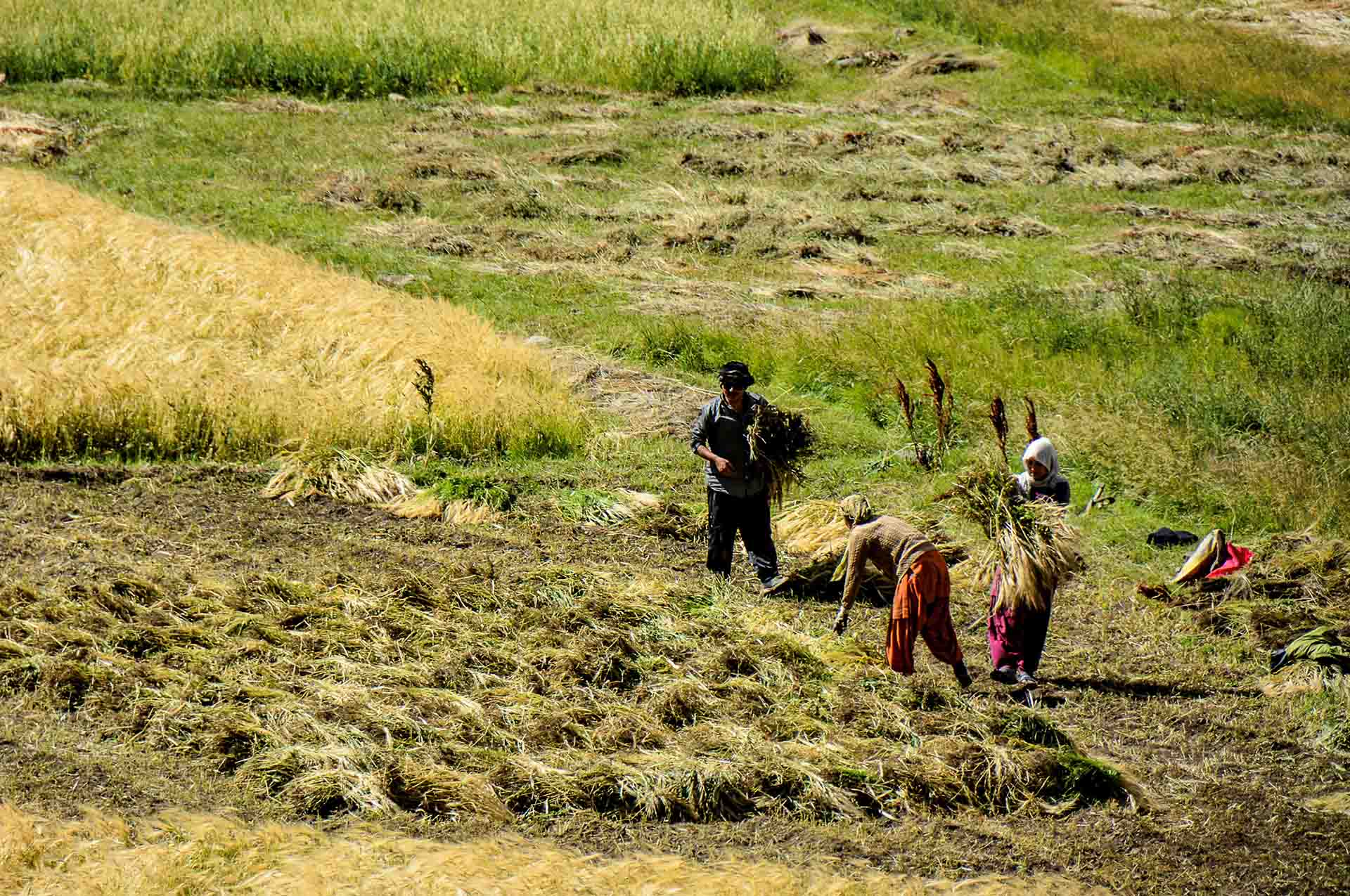
Numerous nomad groups…
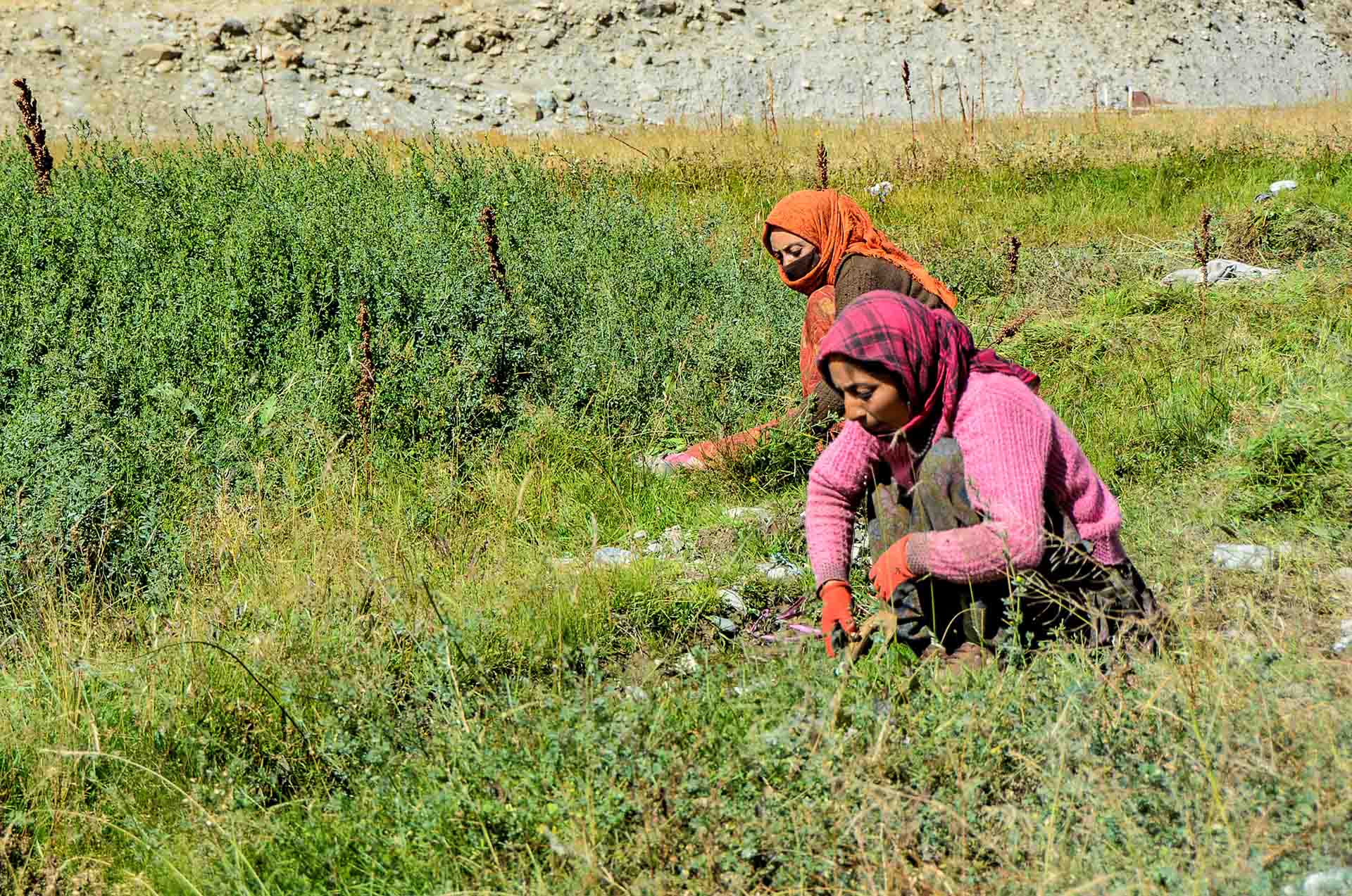
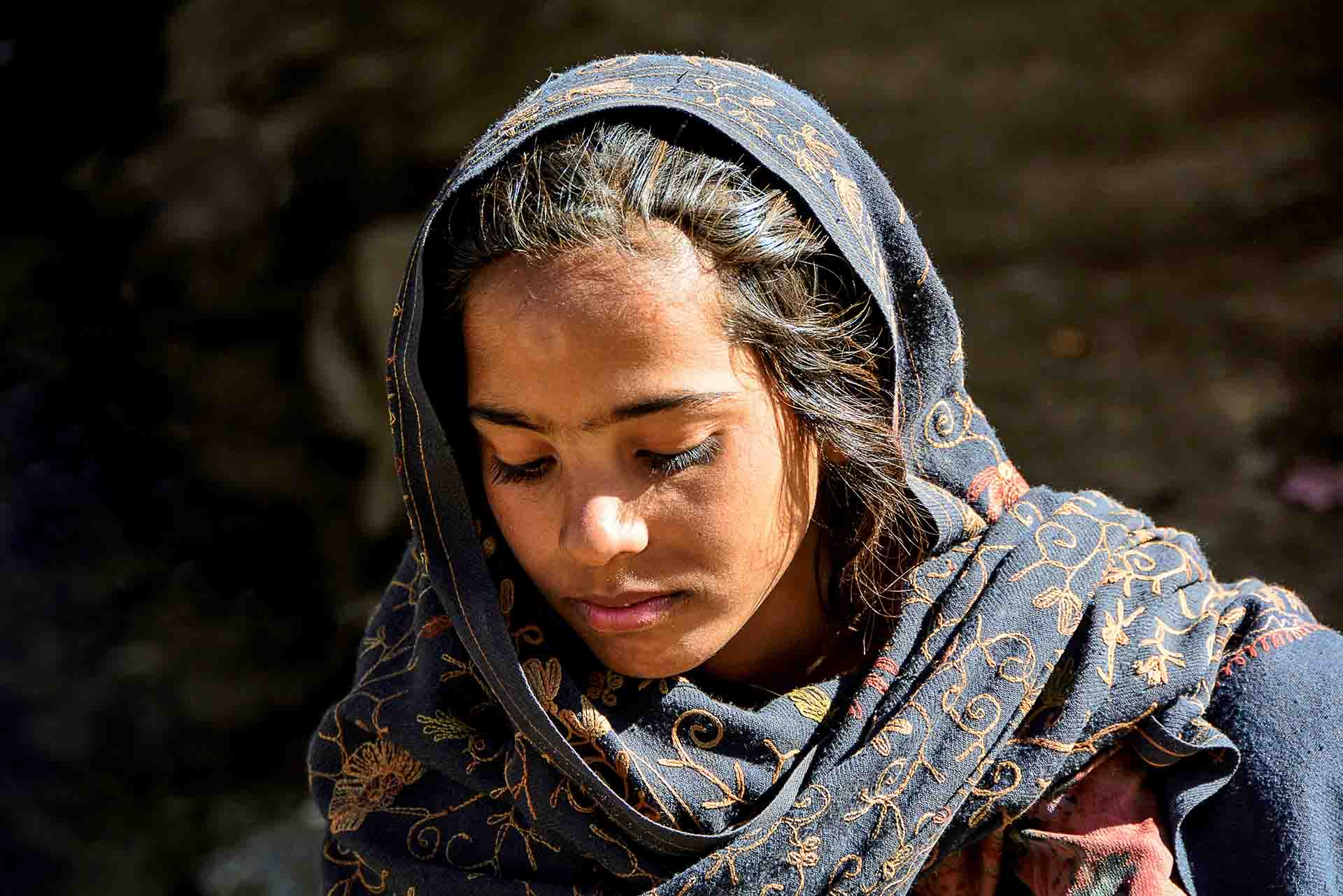
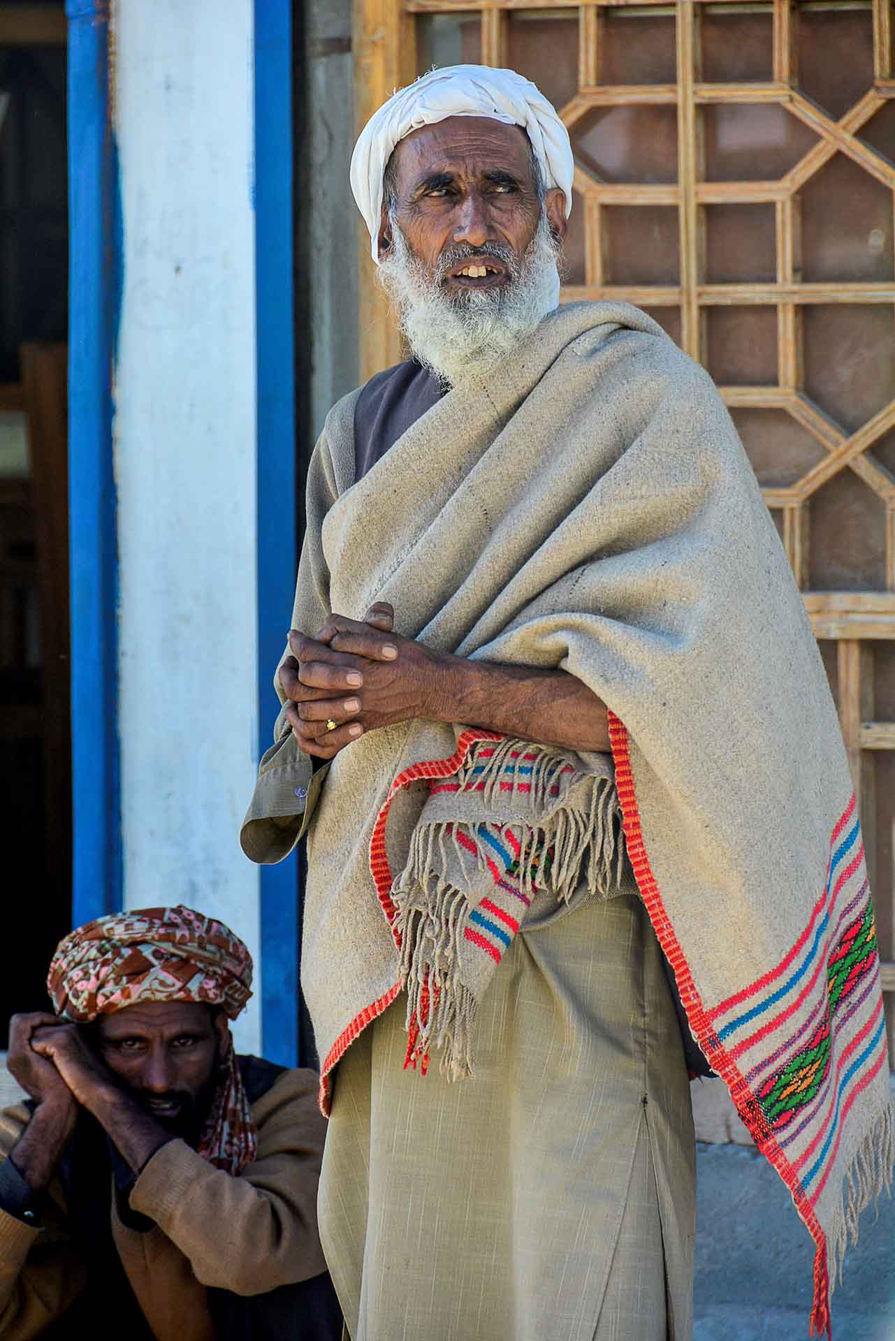
Fantastic images of the Afghan migrants and refugees who work in the farms and live in makeshift accommodations at the roadside…
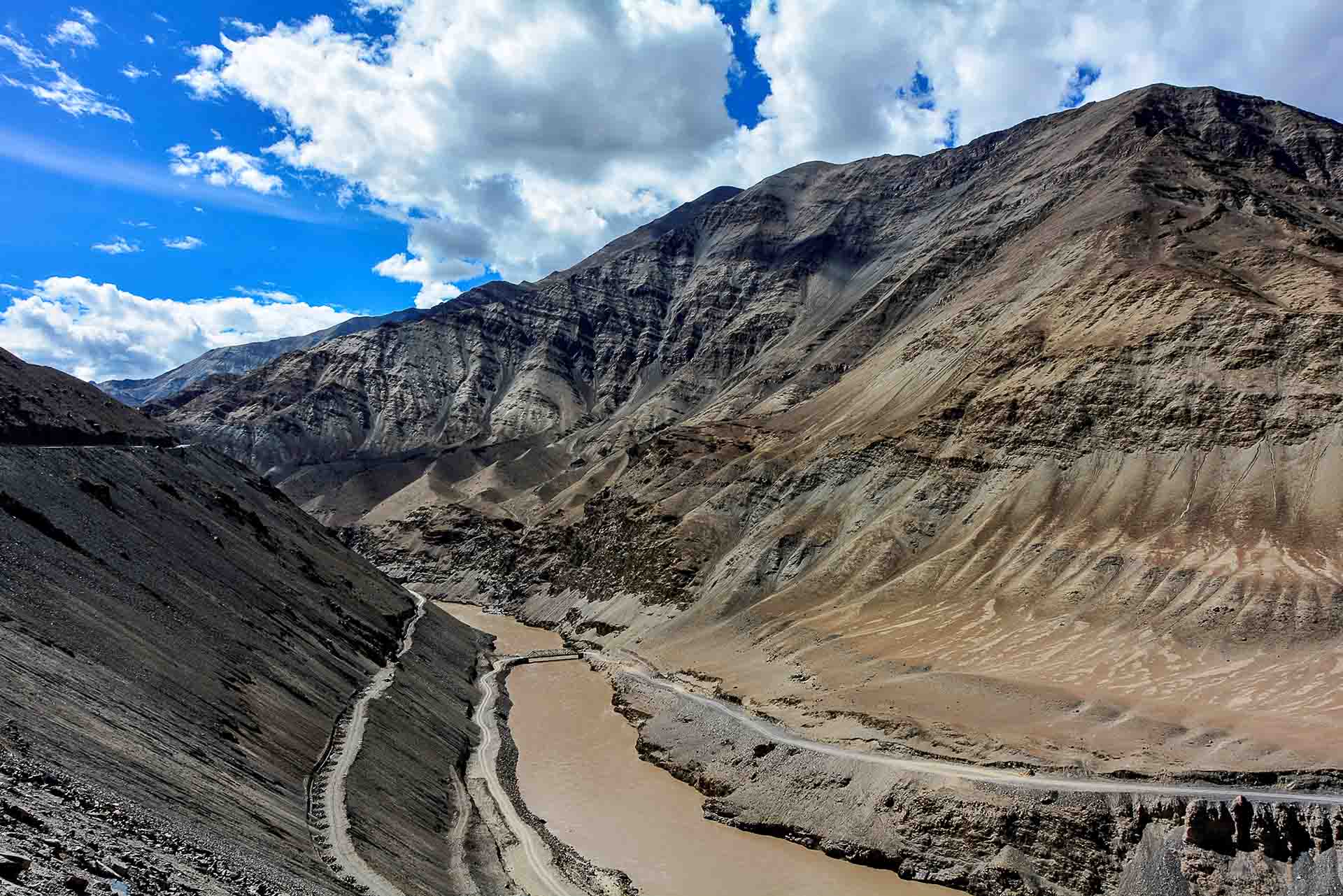
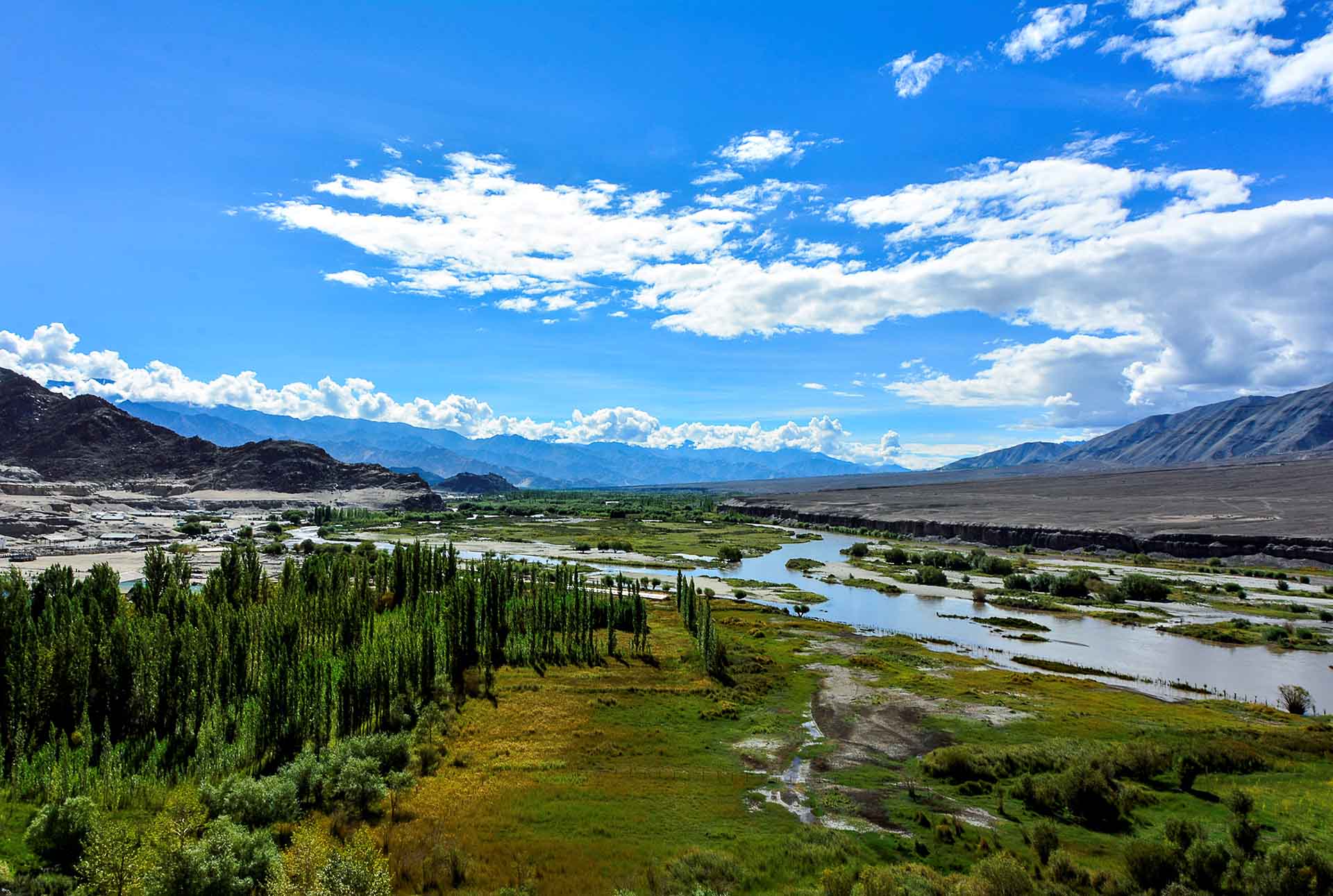
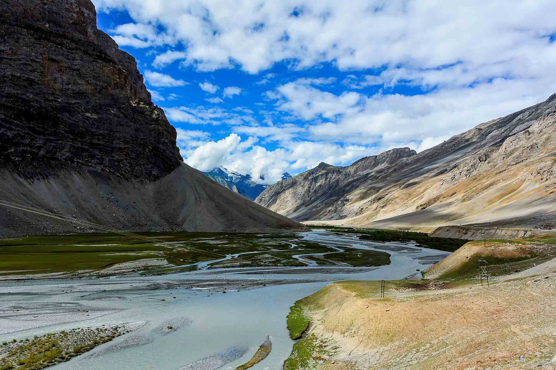
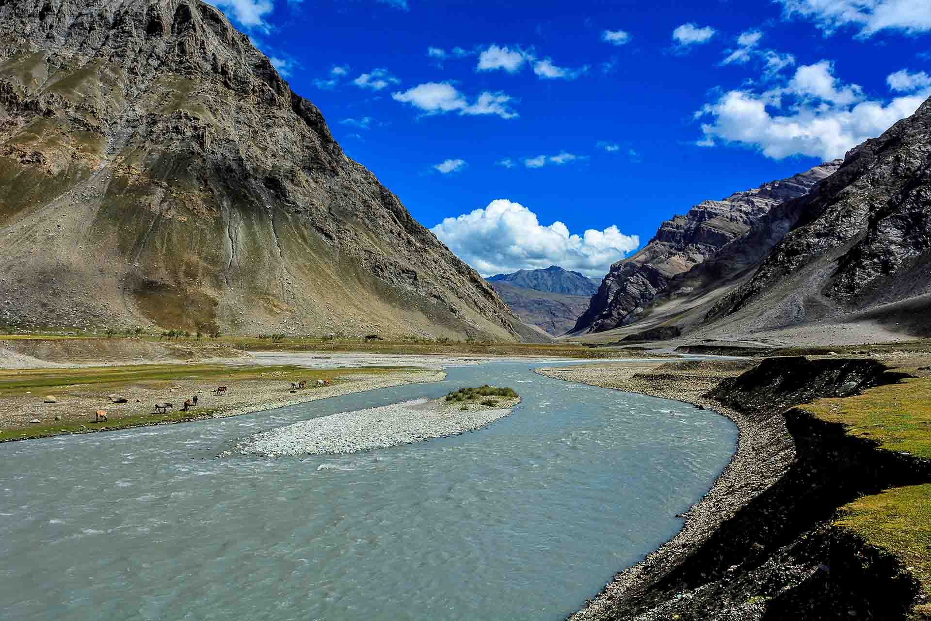
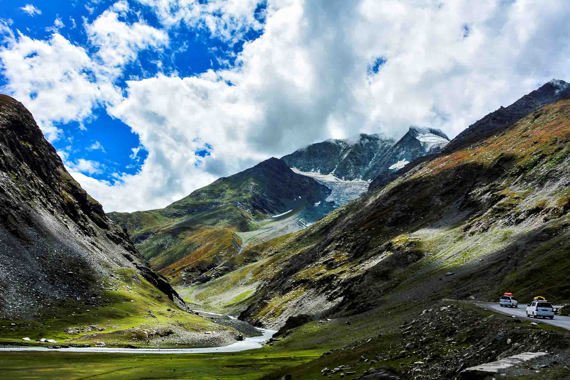
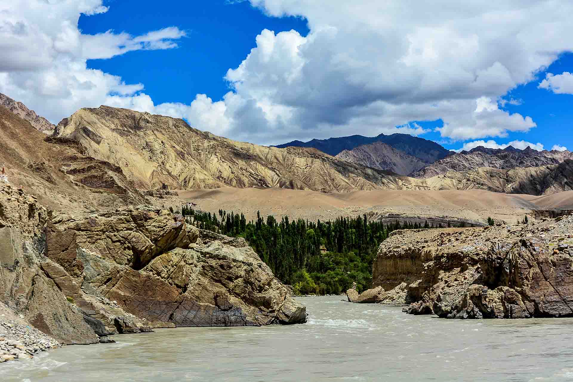
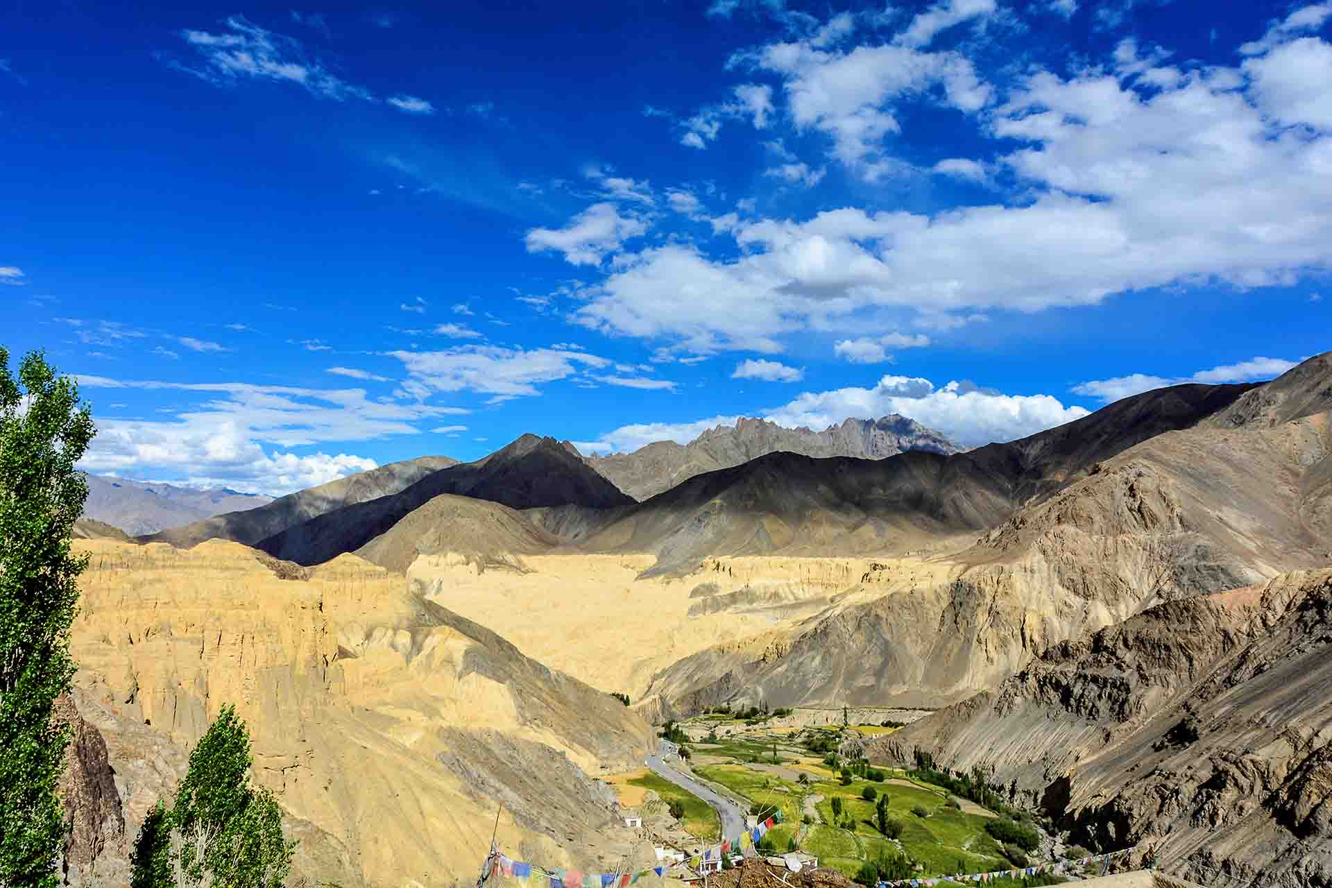
River Indus, with amazing landscapes, with magnificent nuances, "topped" with snowy mountaintops…
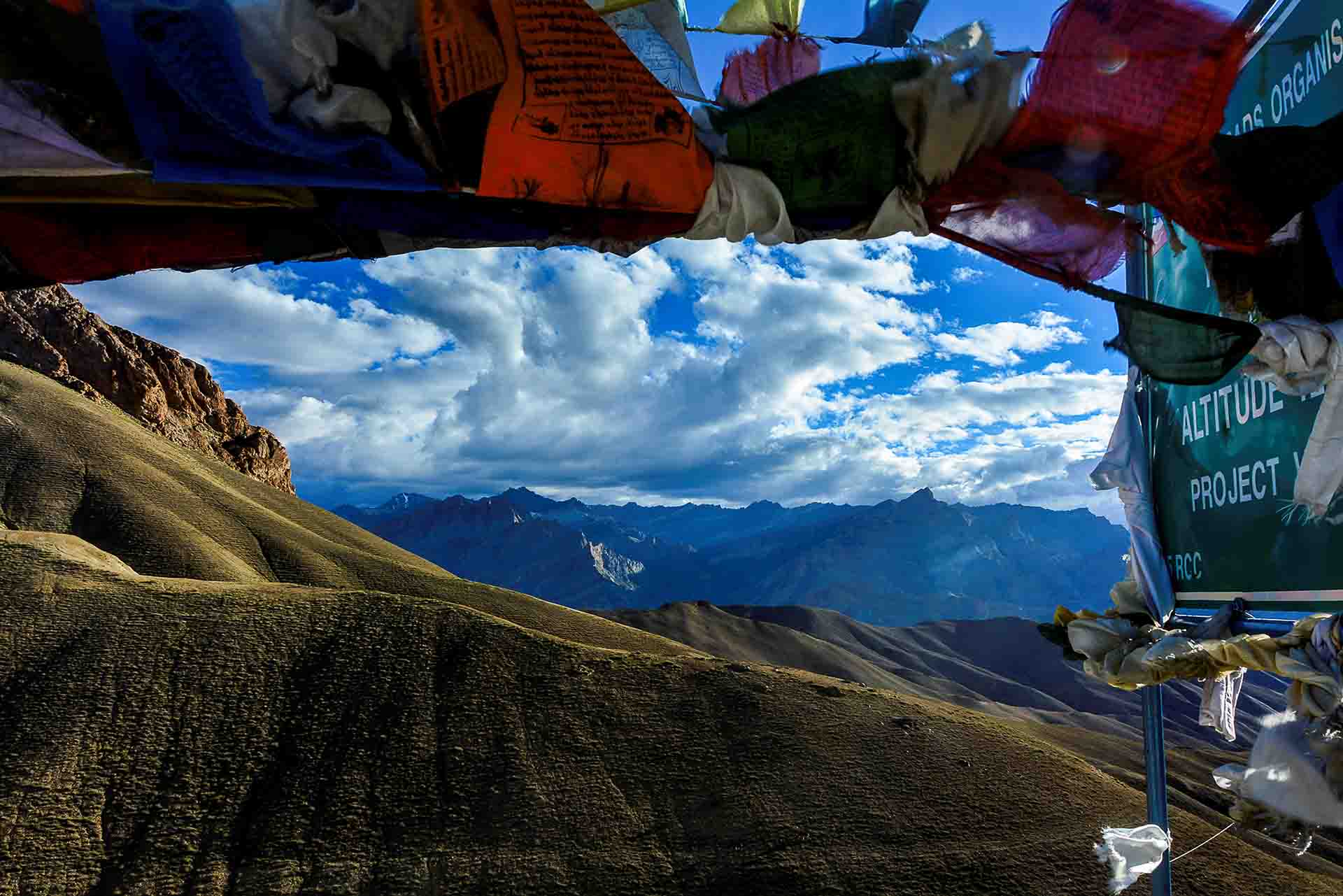
Reflections of the sky blue, multiple nuances of green foliage, where present, that follows sunlight shades, as the sun goes through its diurnal course, at the roof of the world! Magnificent skylines, as shaped by the massive mountains…
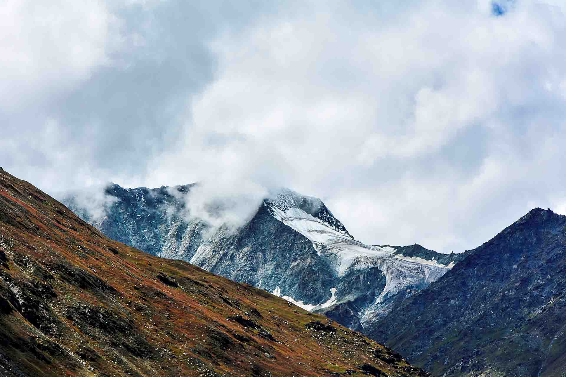
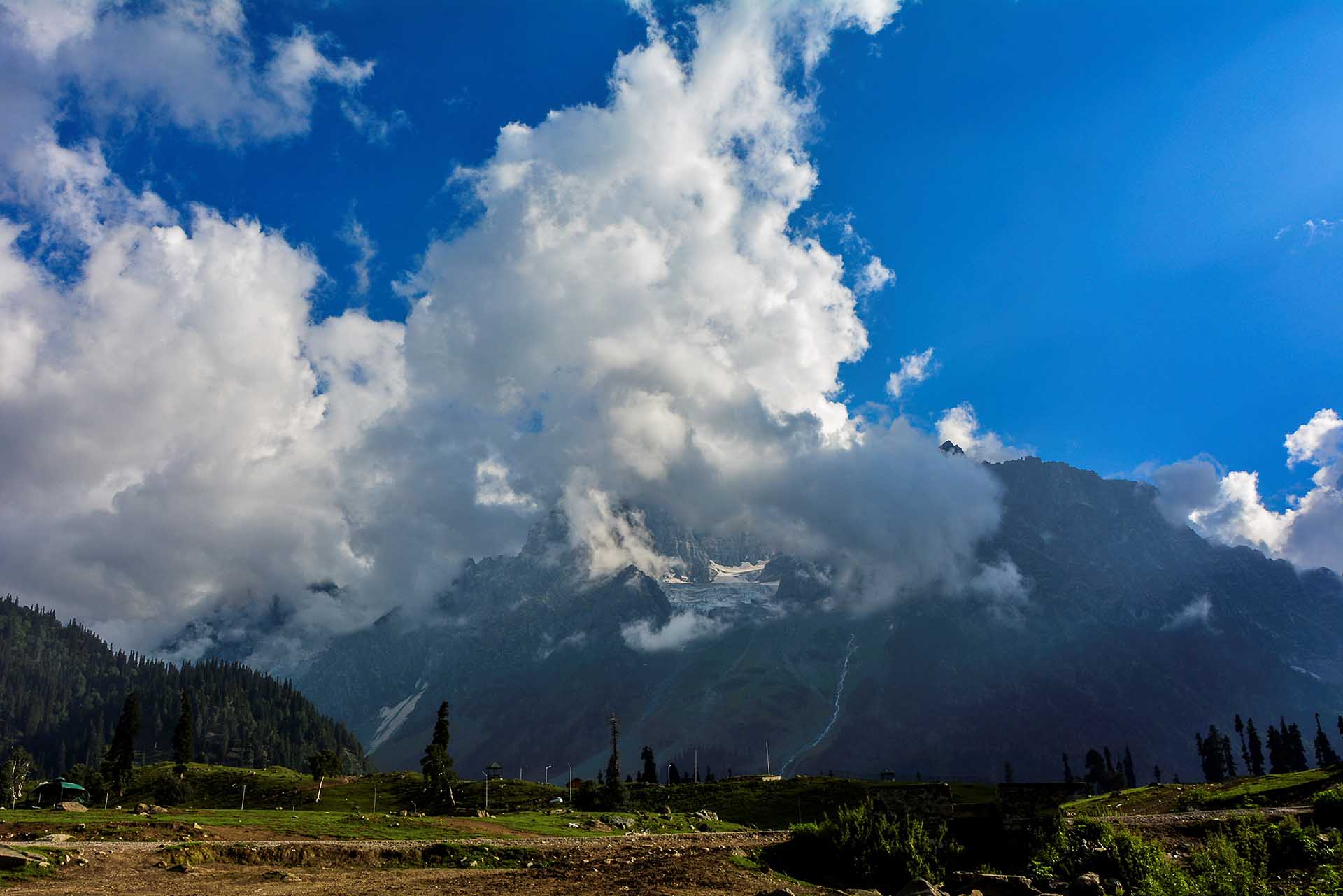
A glassier, ever so close! Magnificent white, snow-covered mountaintops, against grey, green and crimson backgrounds…
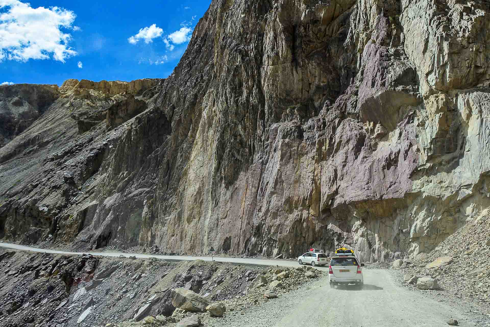
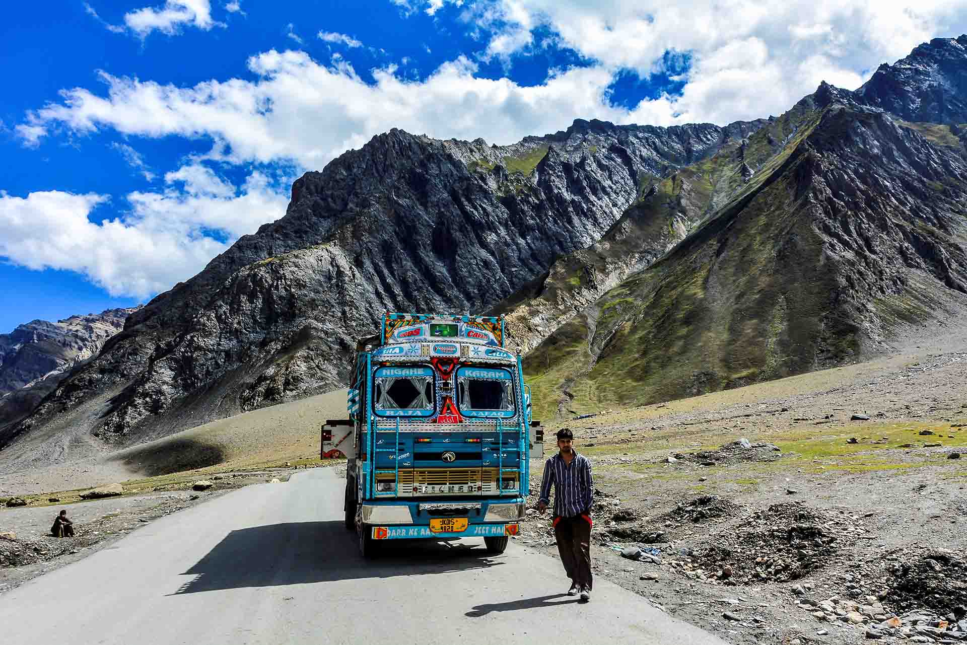
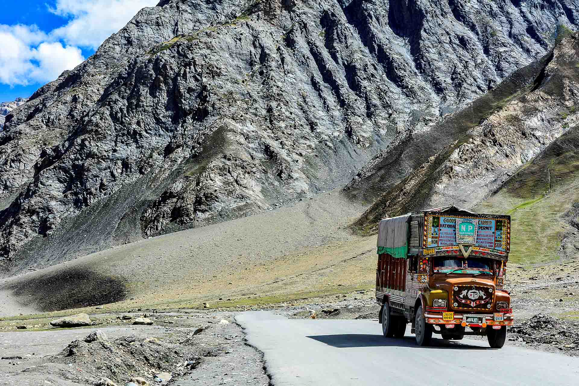
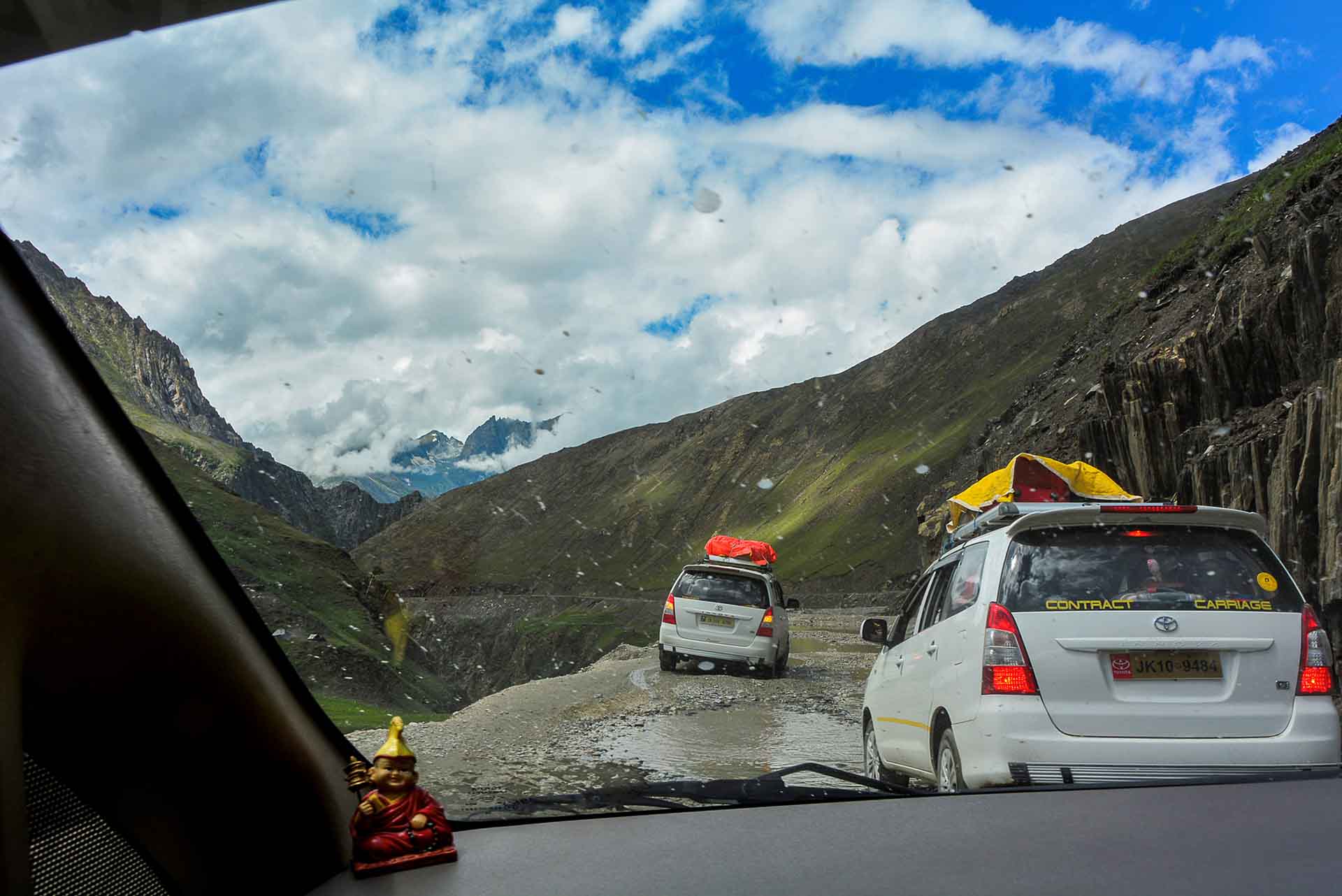
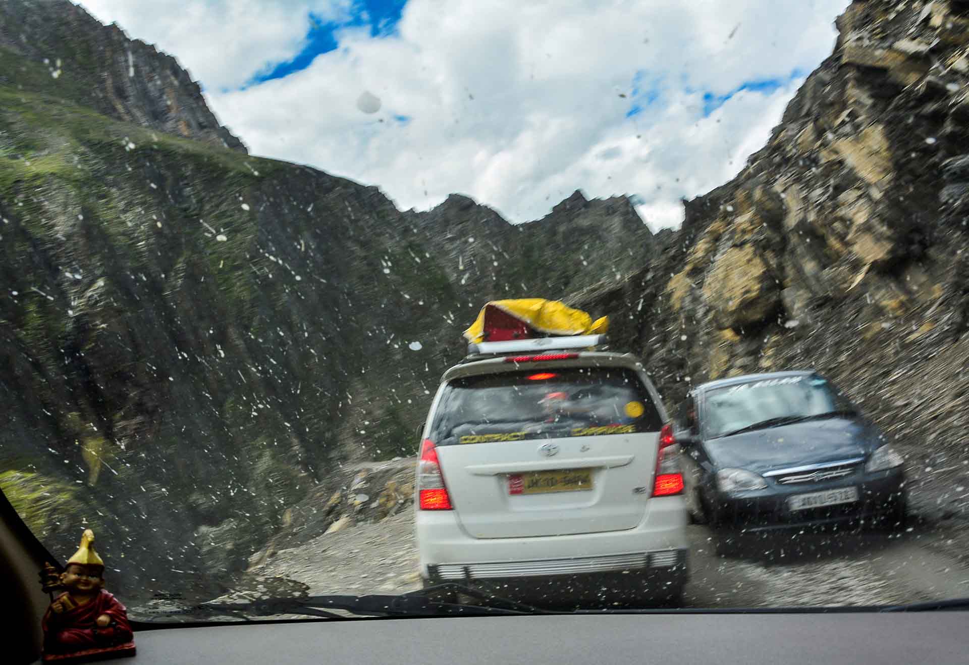
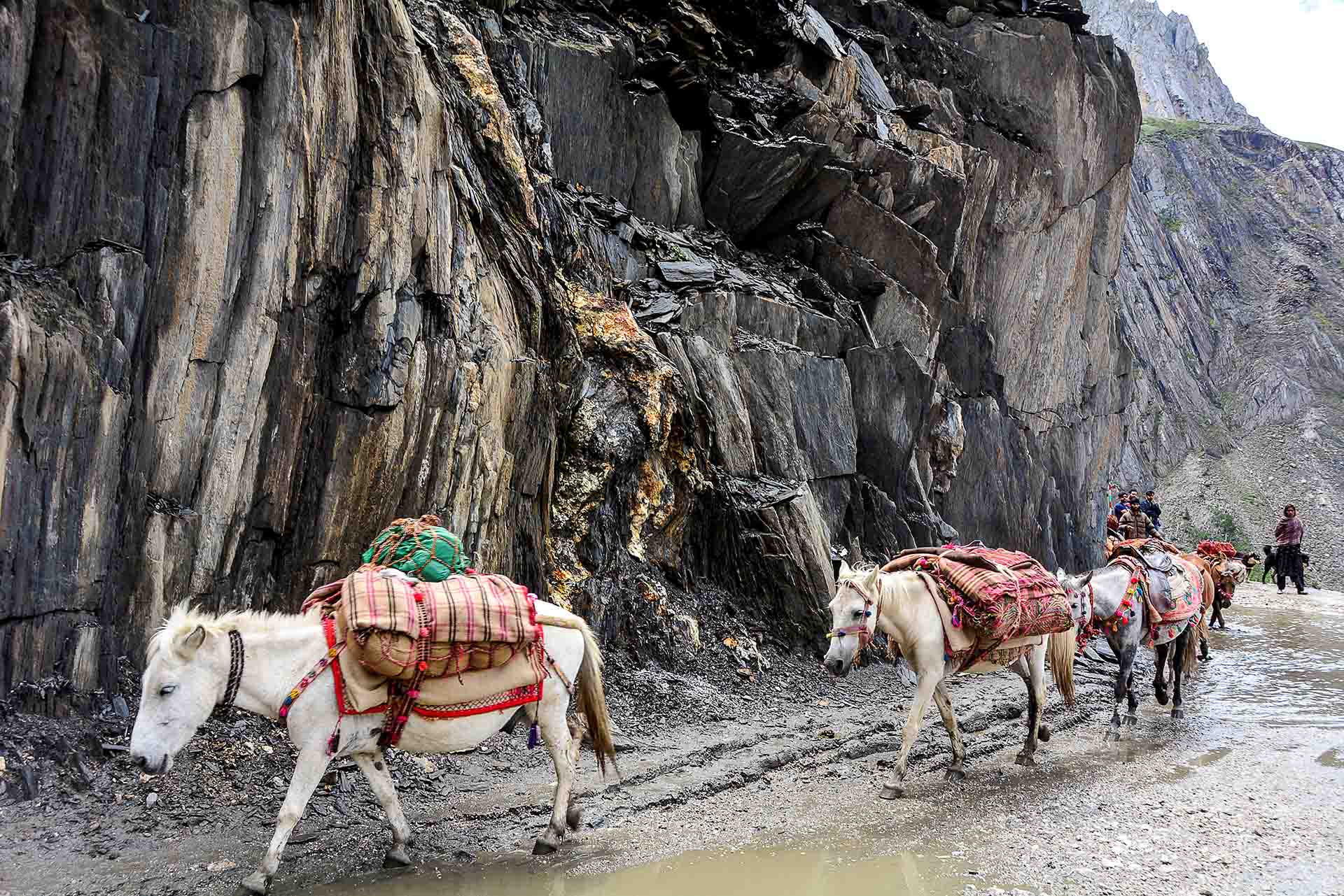
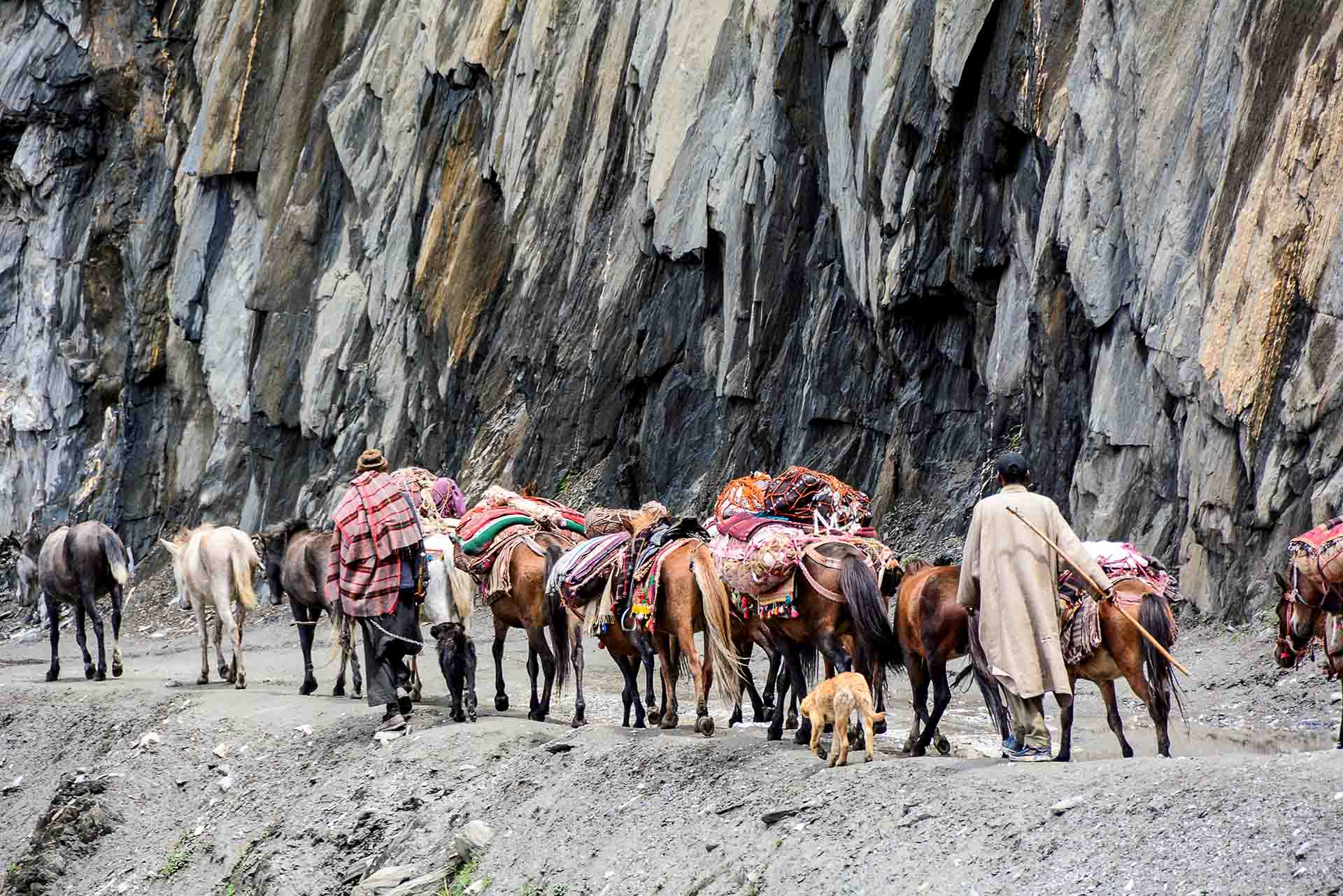
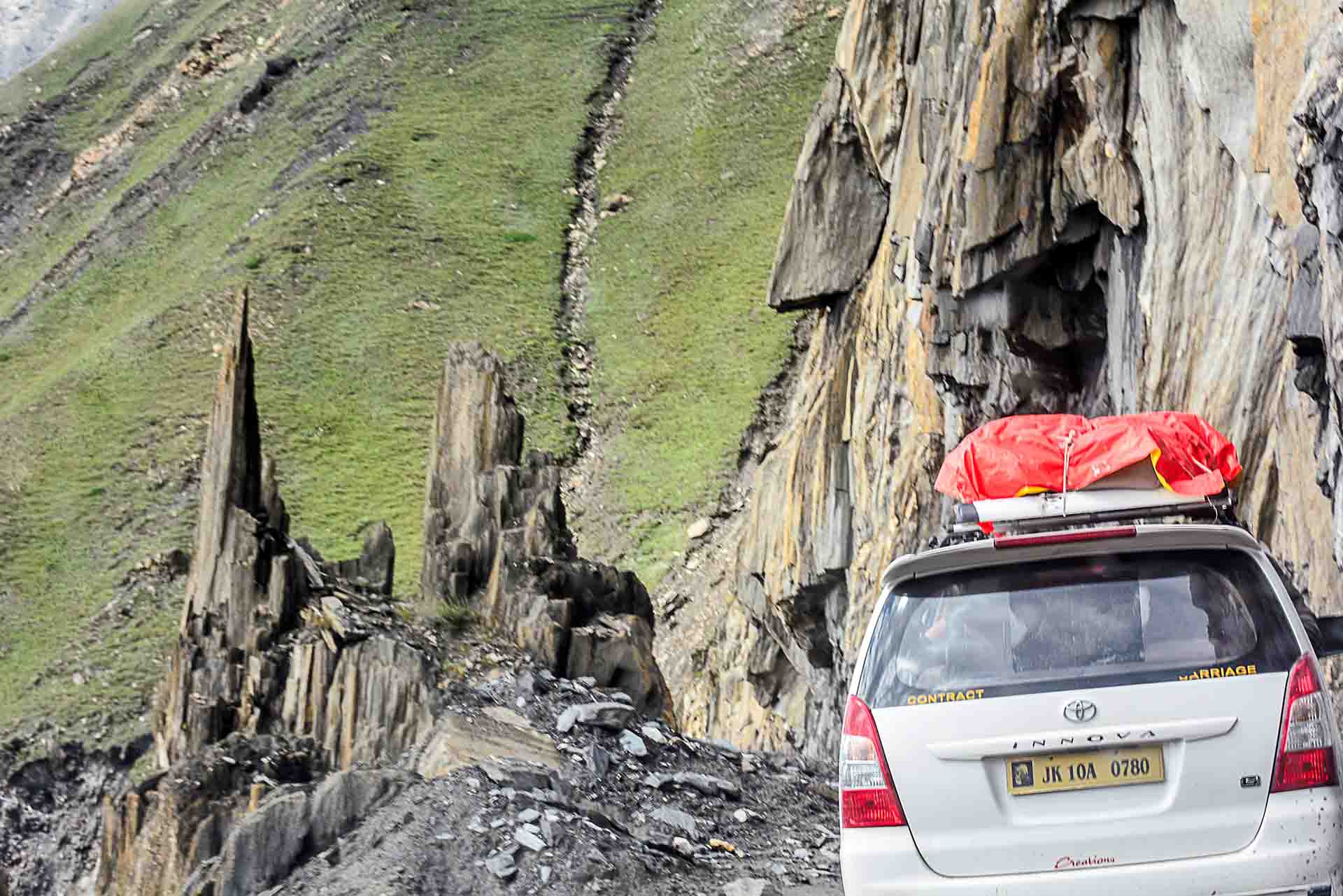
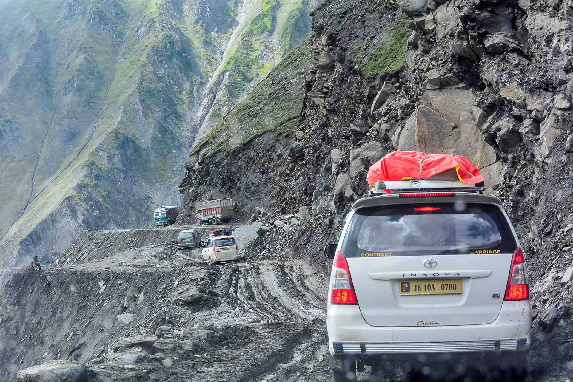
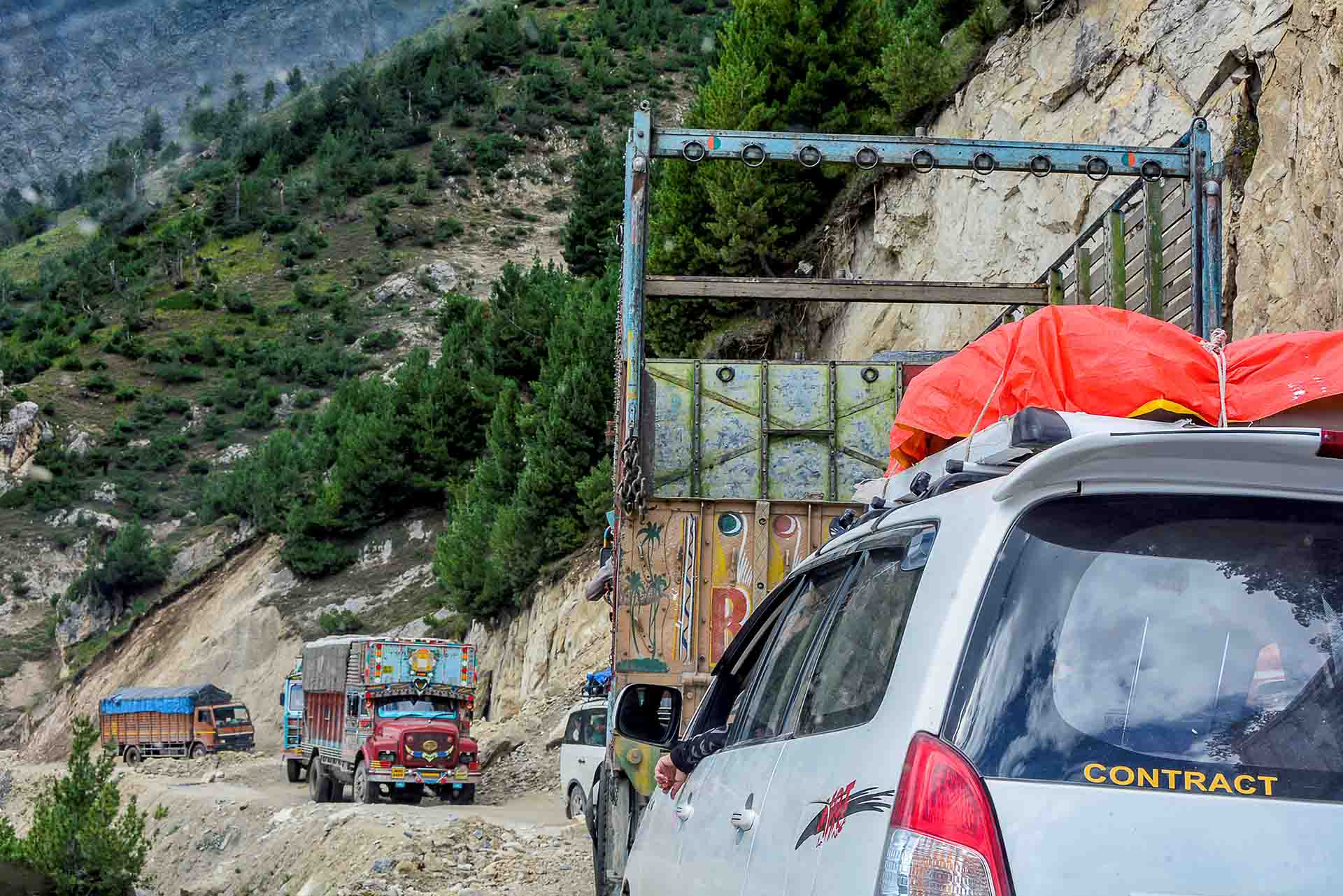
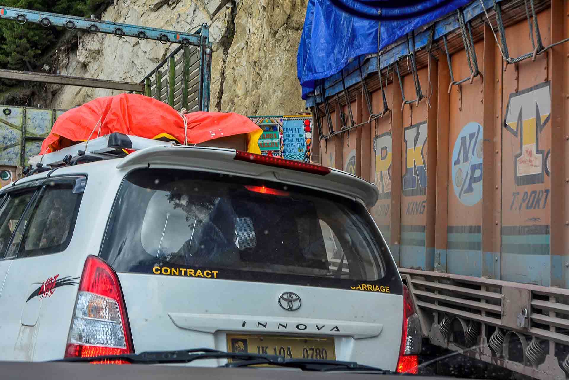
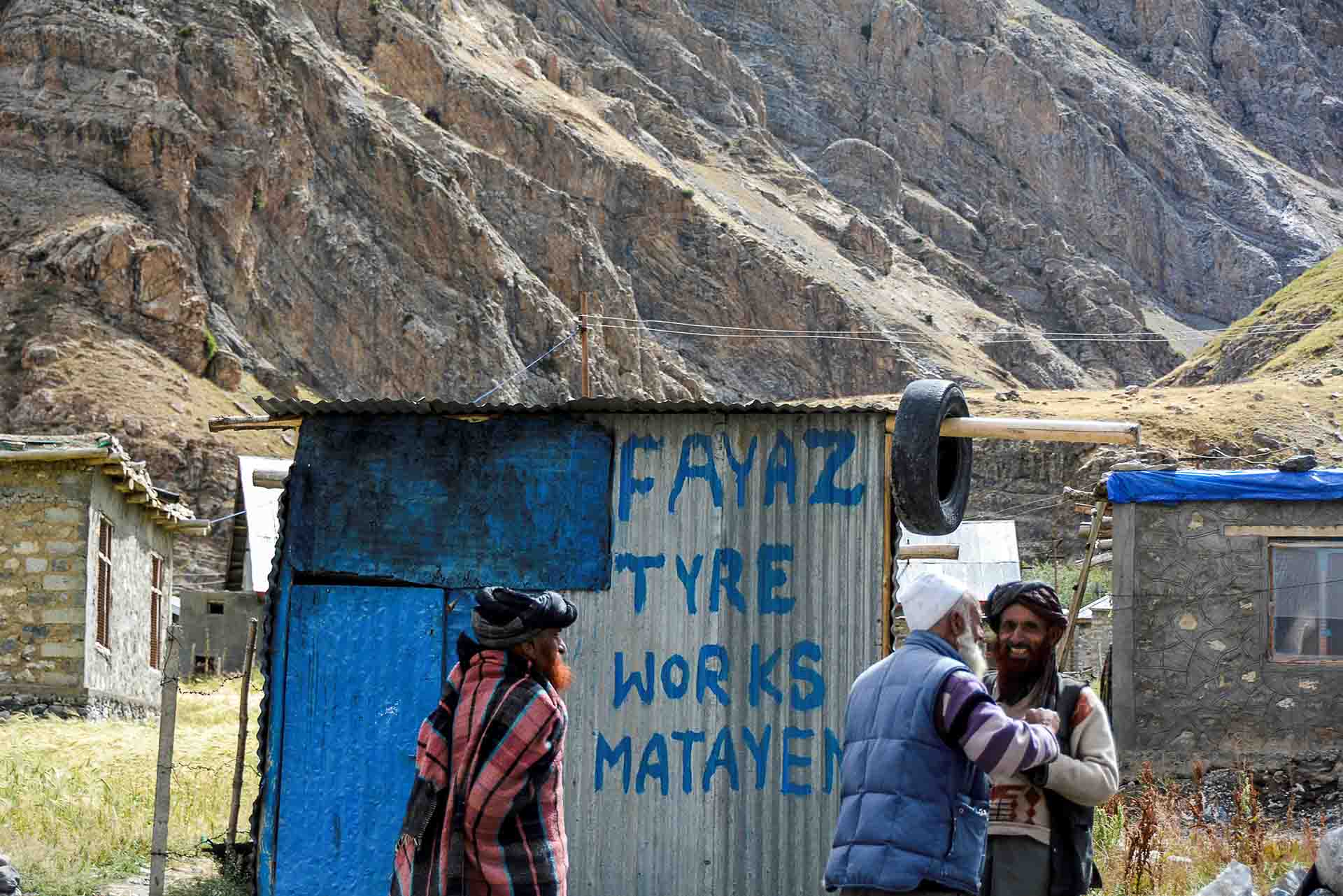
Trucks and buses galore…
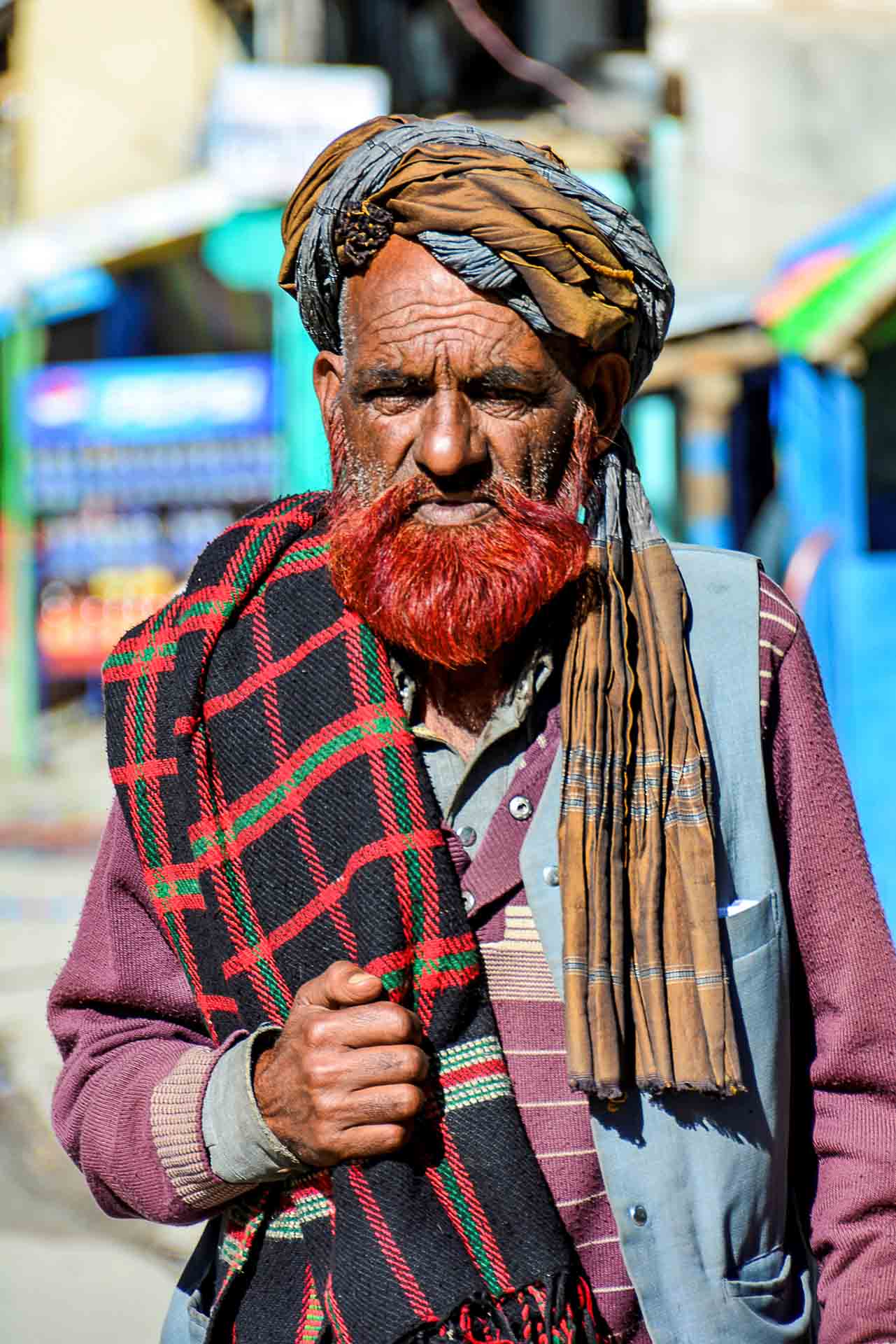
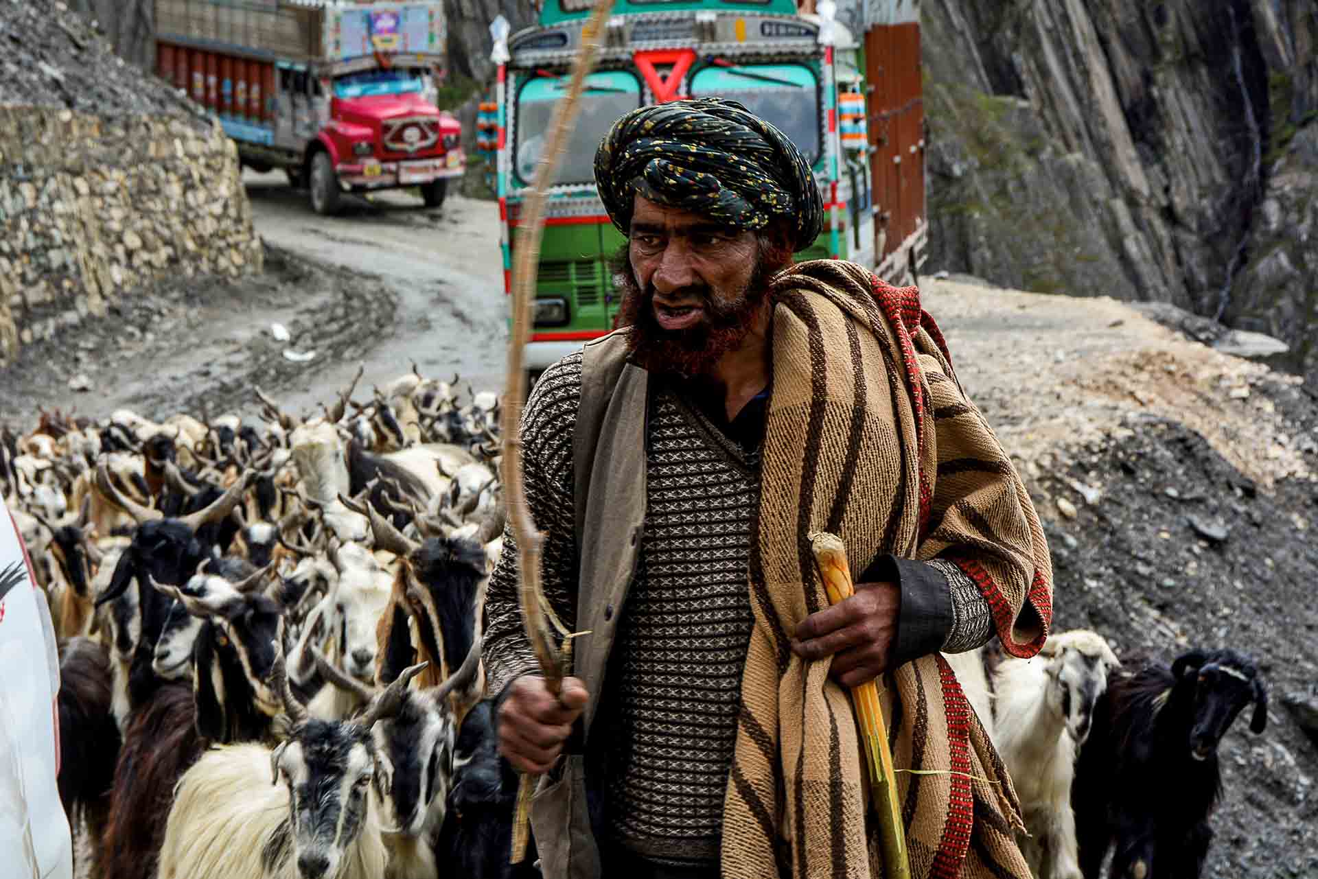
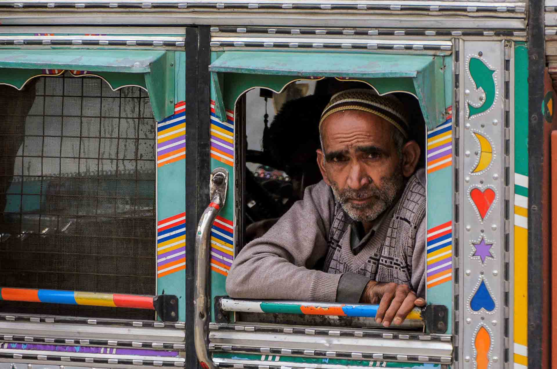
Biblical faces.
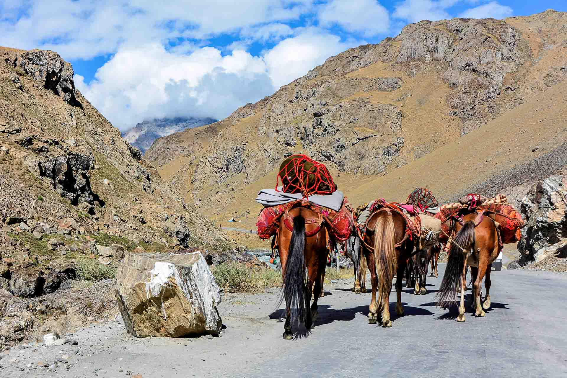
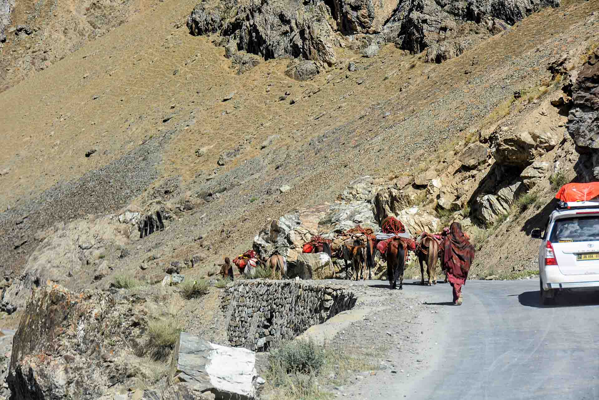
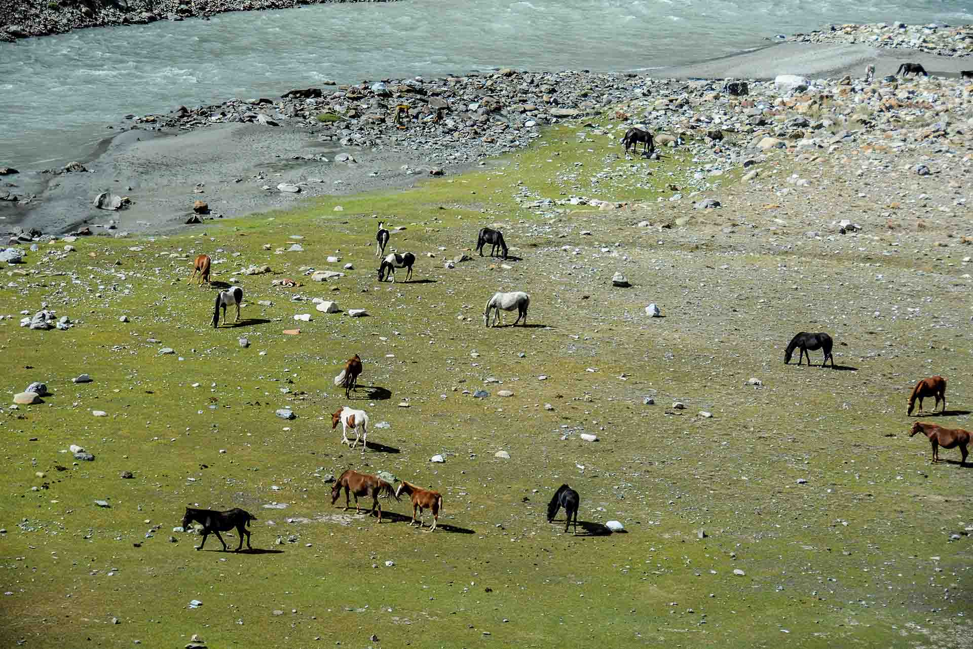
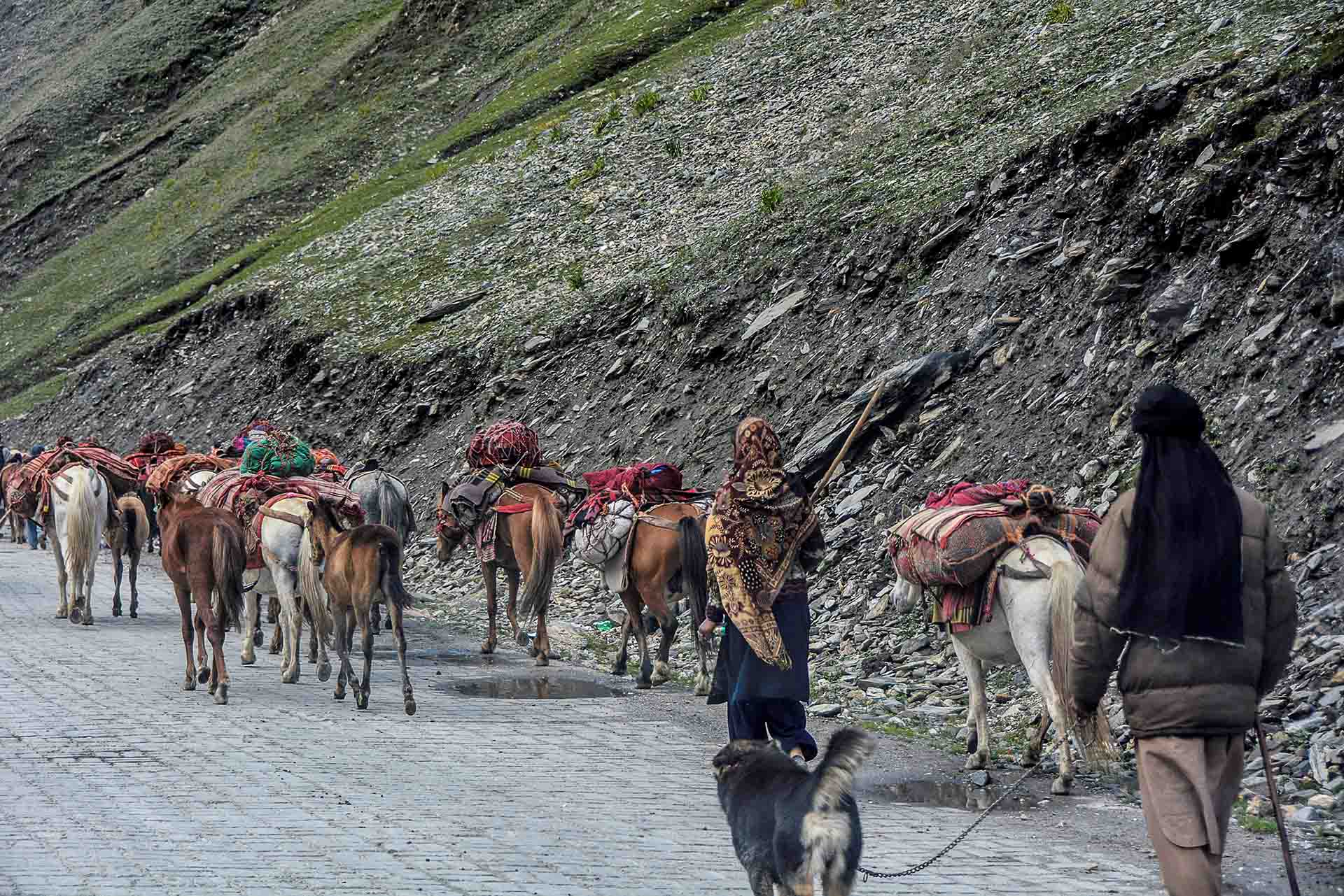
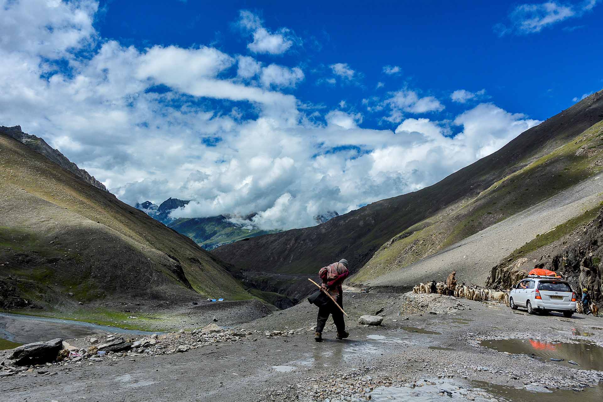
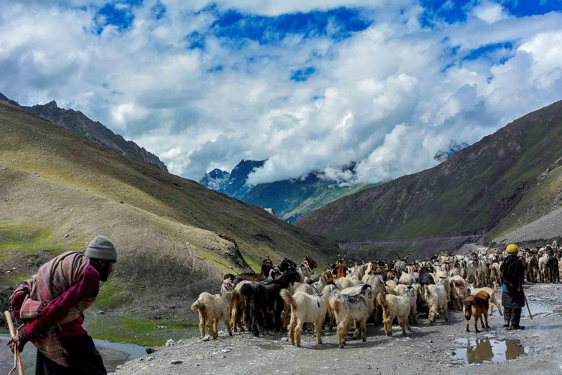
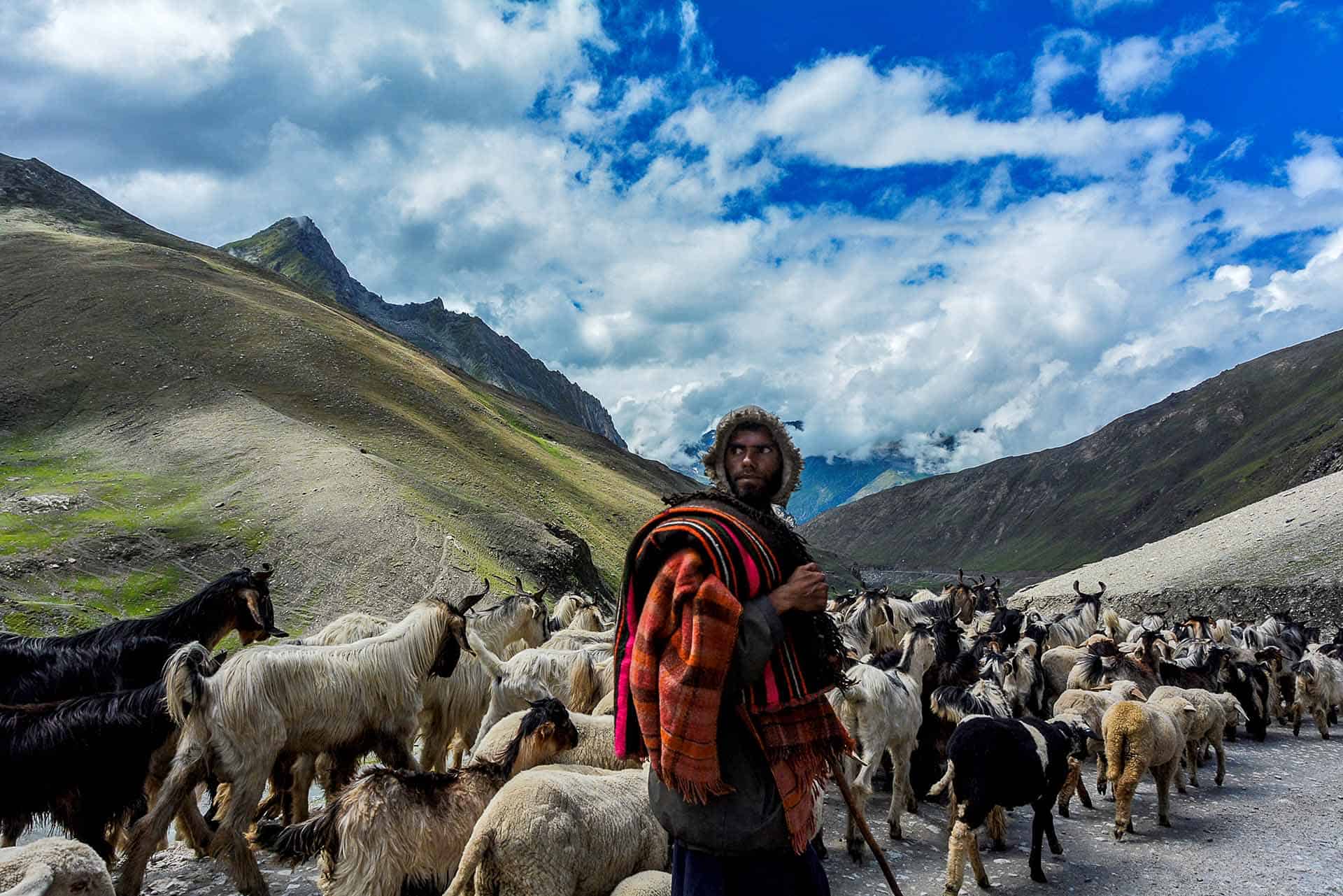
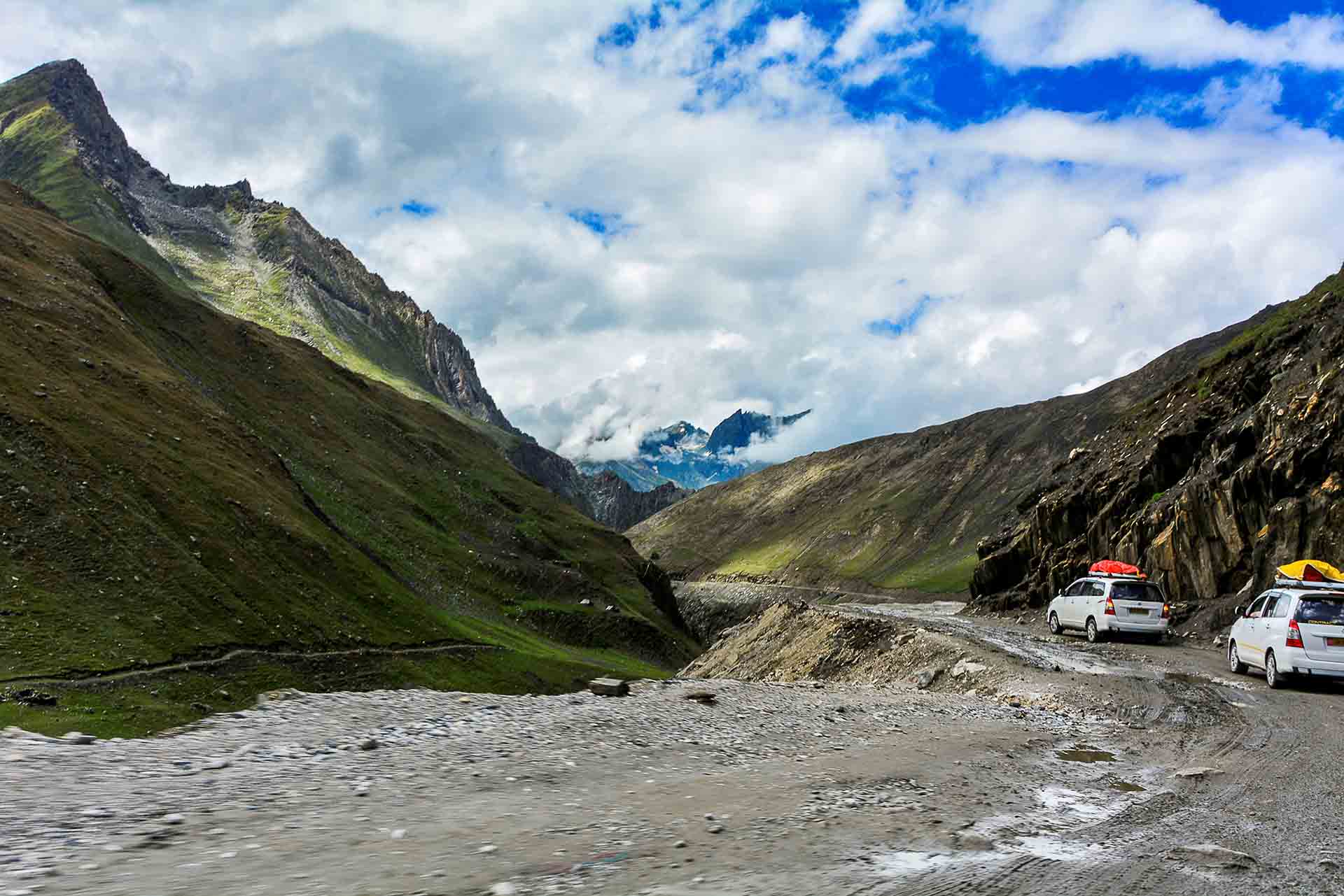
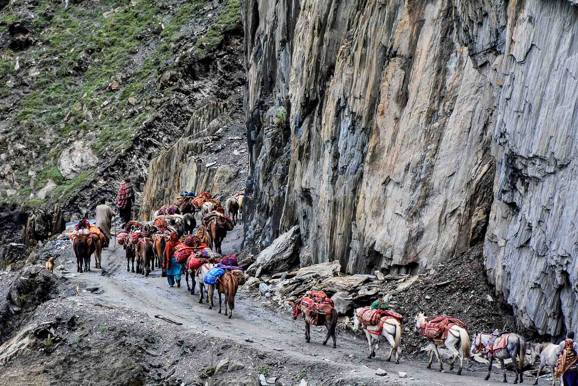
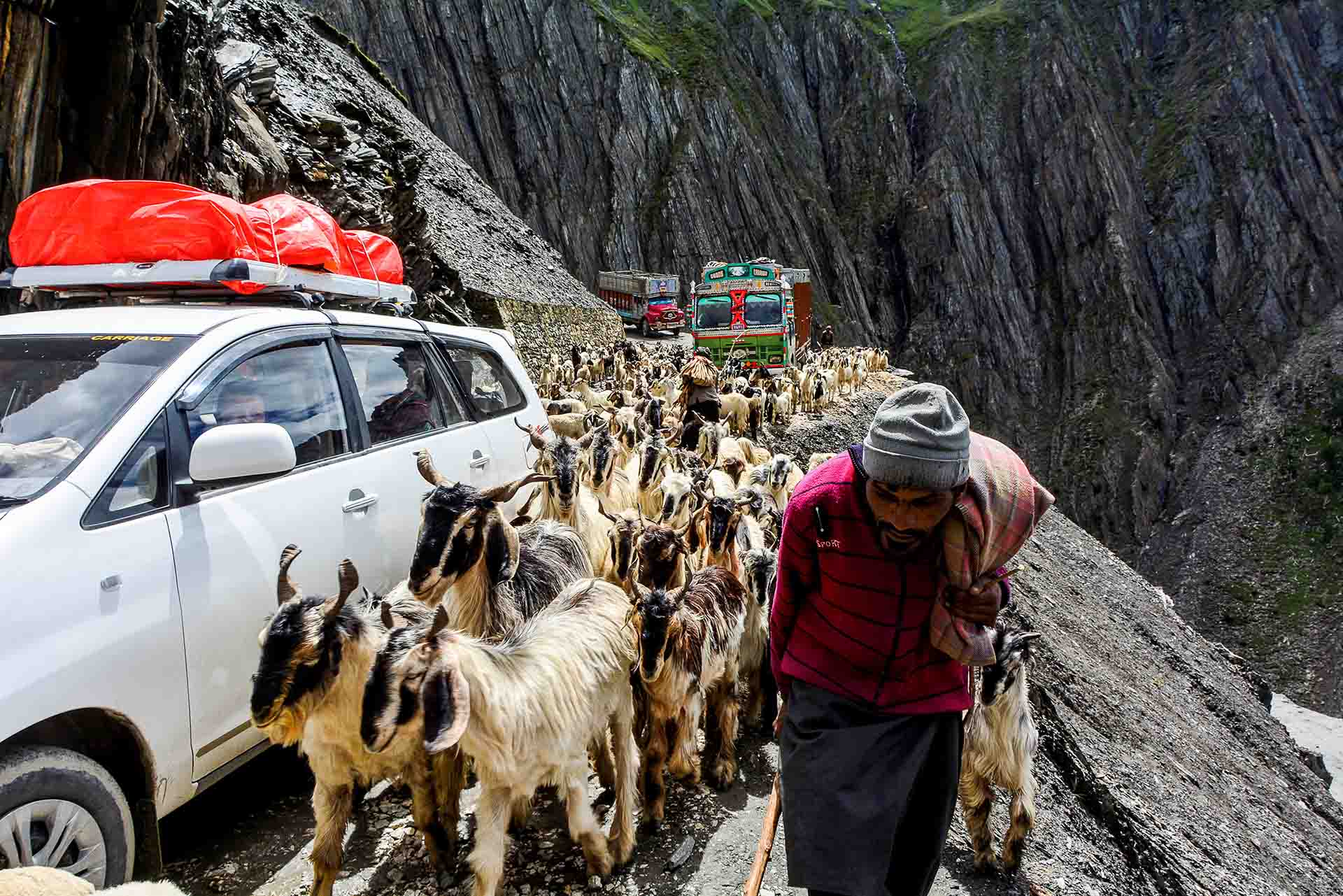
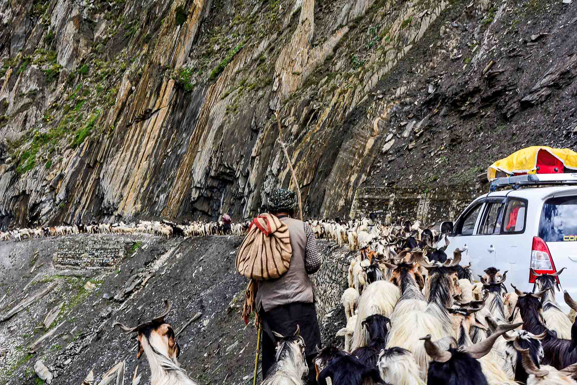
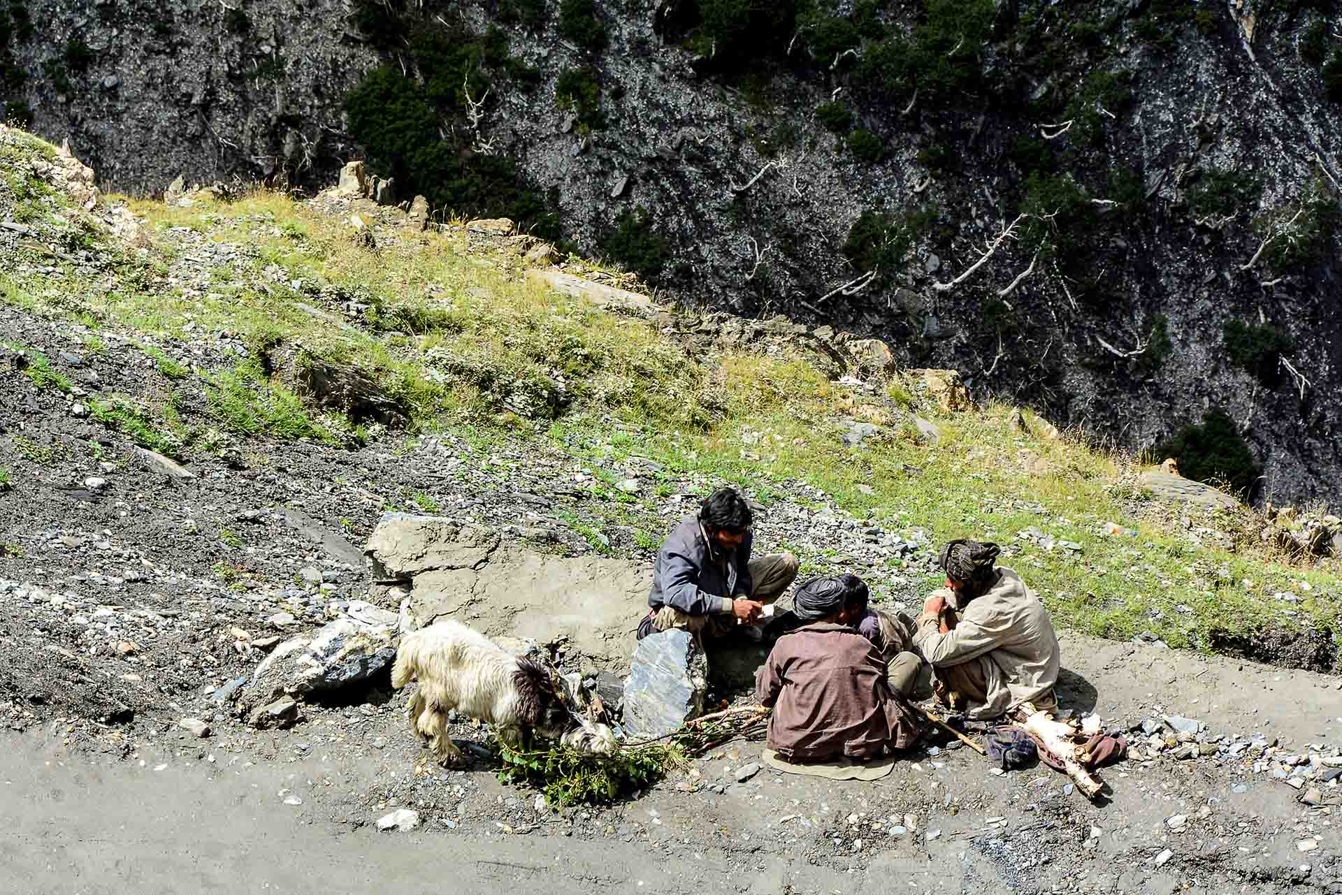
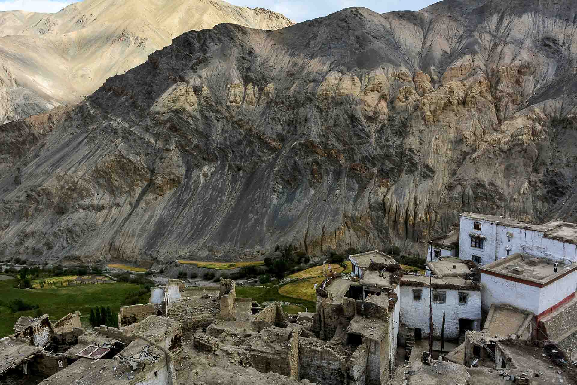
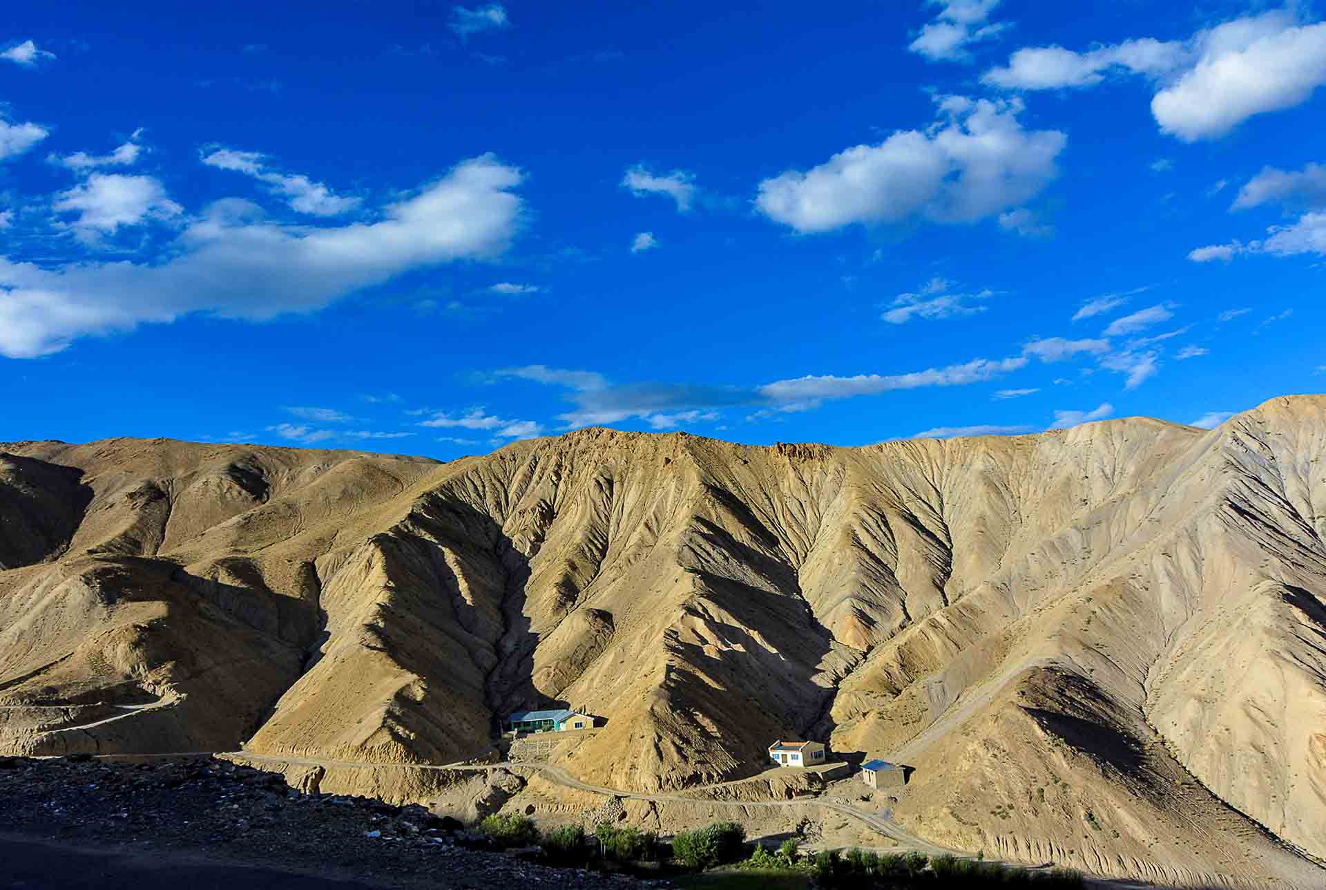
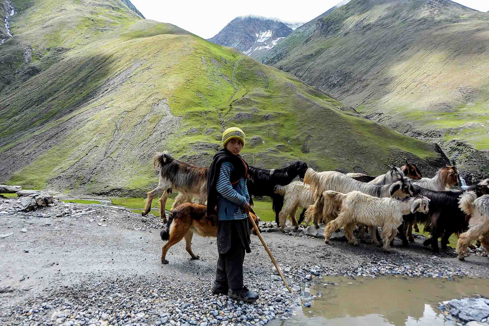
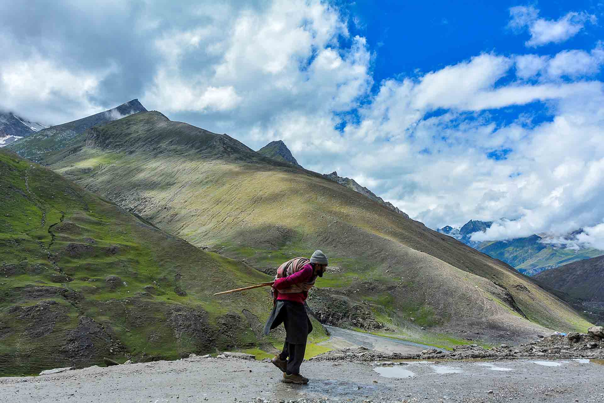
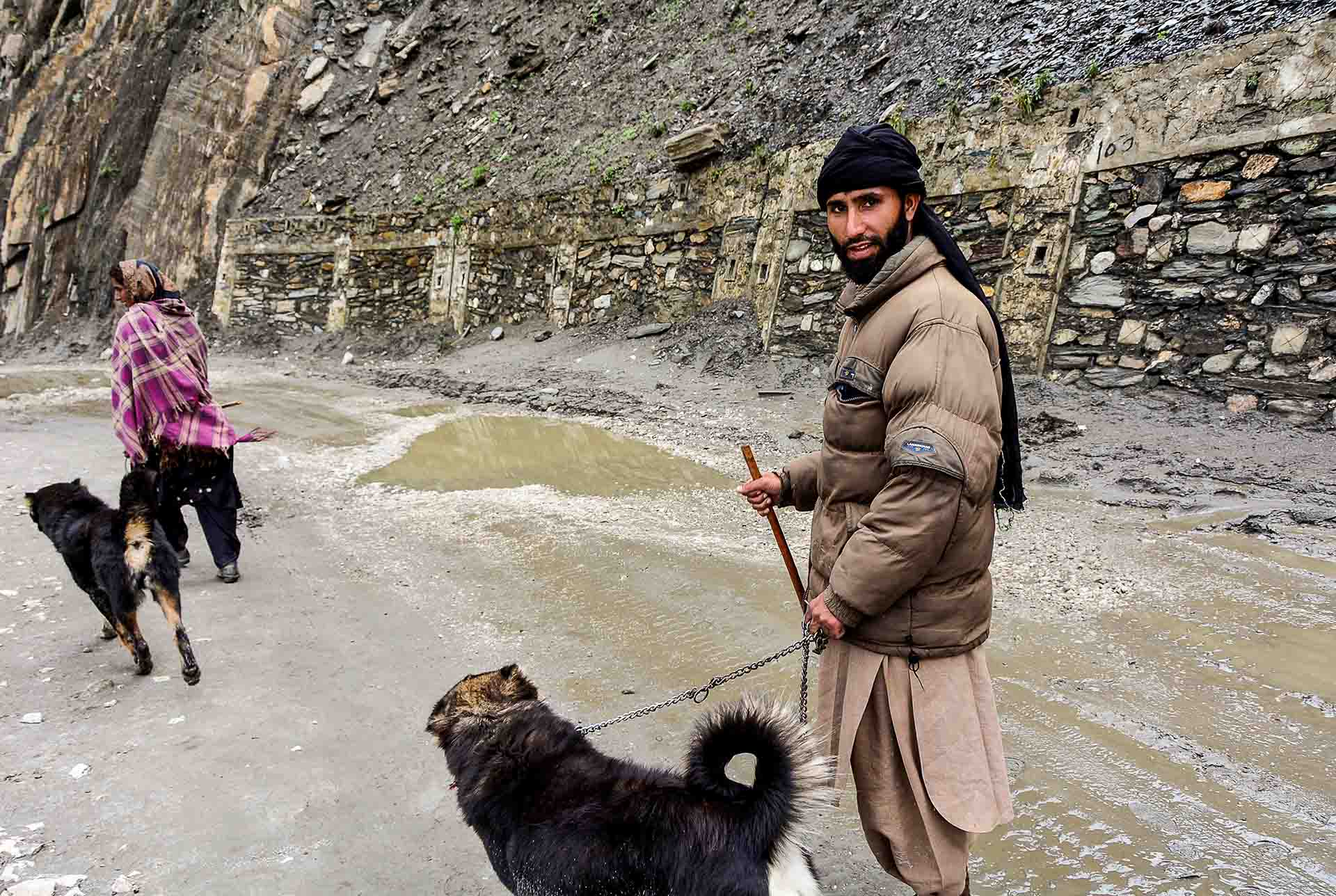
After the village Matayan, it started turning into dirt road. River and vegetation images were replaced by a barren and rough landscape, where human presence was becoming increasingly scarce! A narrow and difficult to ride road that ascends and descends haphazardly along precipices, amongst steep mountaintops, sharp turns and high altitudes, making our journey exciting. This part of the route is the one that closes in November, because of rough weather, and opens again in June. Matayan is the pass from India to China. In older times camel caravans, that carried various commodities, were traveling along this route (the famous "Silk Route"). Today you meet a multitude of vehicles as well as caravans of horses travelling on this road. We met many Afghan refugees, seasonal workers, and big herds of pasmina goats , the goats with the fine wool that give their name to all kinds of shawls.
Precious, biblical image that is reminiscent of...
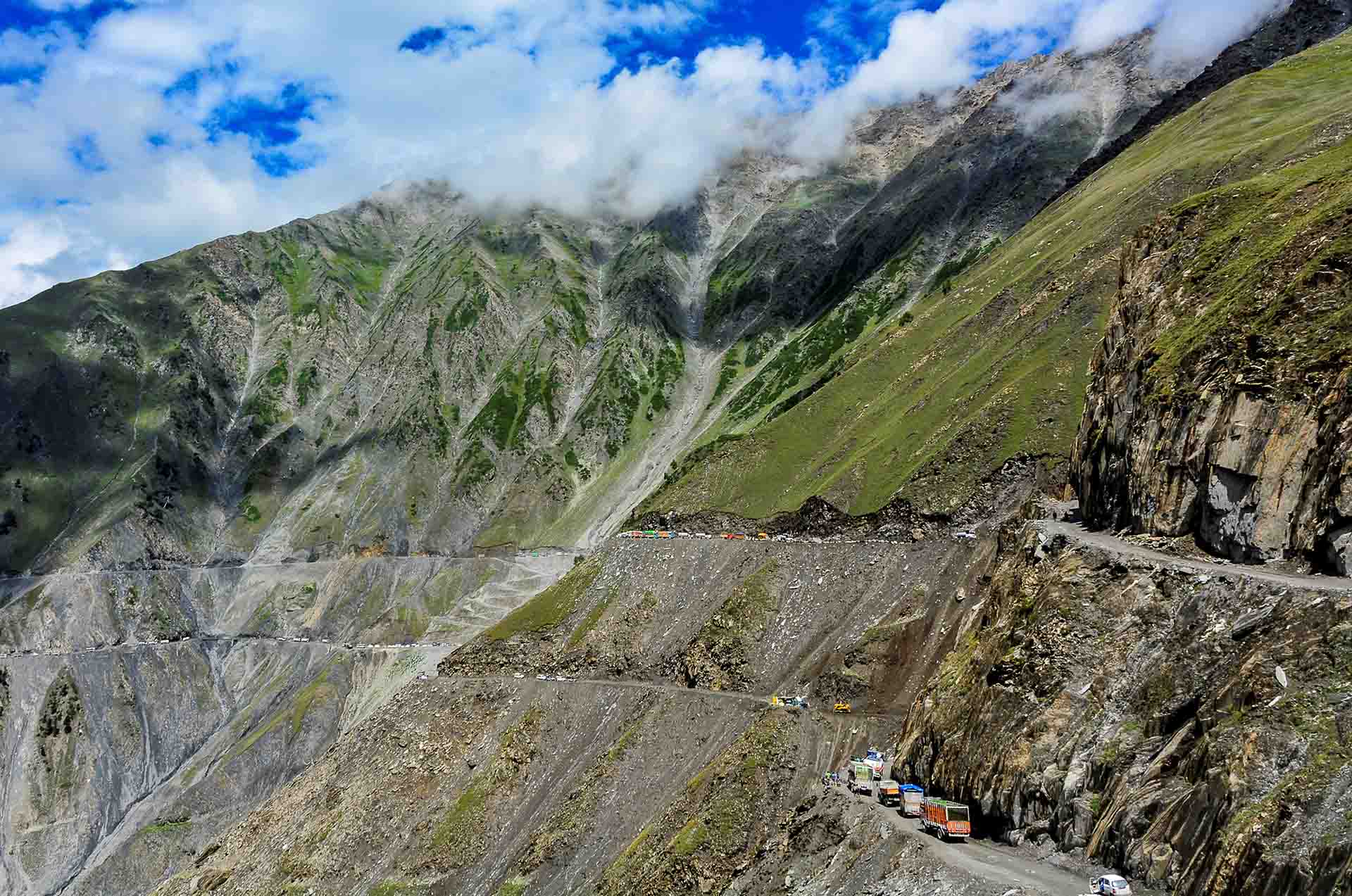
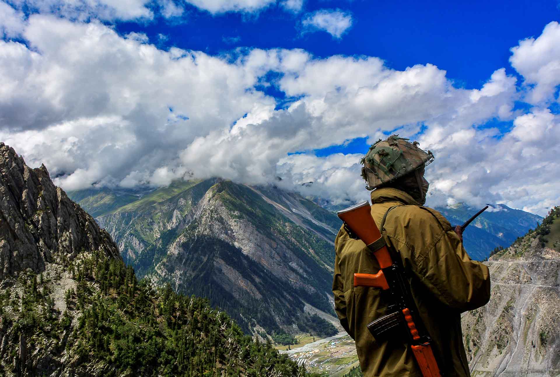
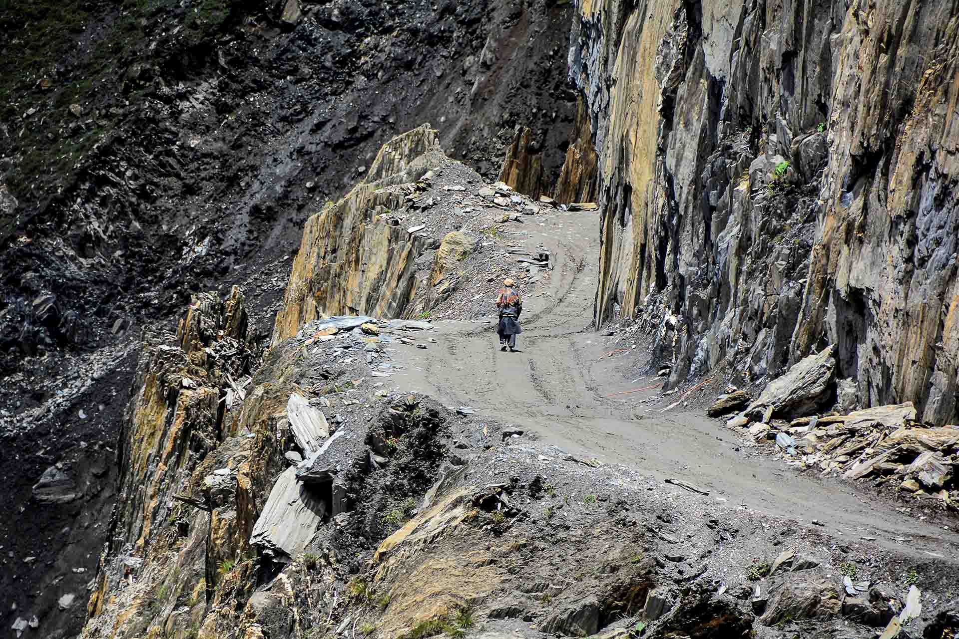
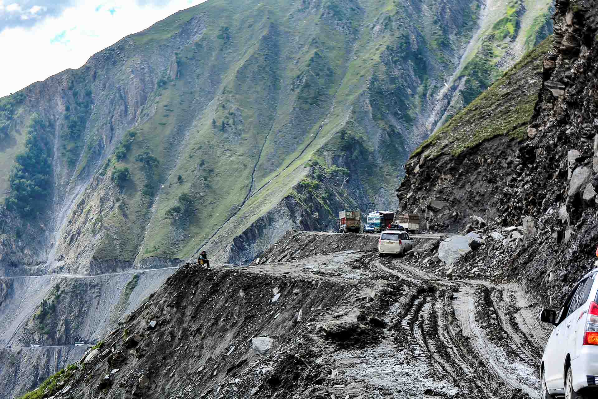
We are approaching the renowned Zoji-La , the third pass at 3.542m+, the geographical border between Kashmir and Ladak. It is said to be one of the world's most difficult roads, that only crazy people attempt to pass; a 9km long, particularly narrow, road that can barely take one vehicle across its width! Taking photos became an impossible and dangerous task from the inside of the SUV!
At this point, with the breathtaking view, dry and barren on the east side, green and beautiful, with rich vegetation on the west side, 2 km before the Zoji-La ends and just before the descent to Kashmir starts we halted… not to enjoy the view but...
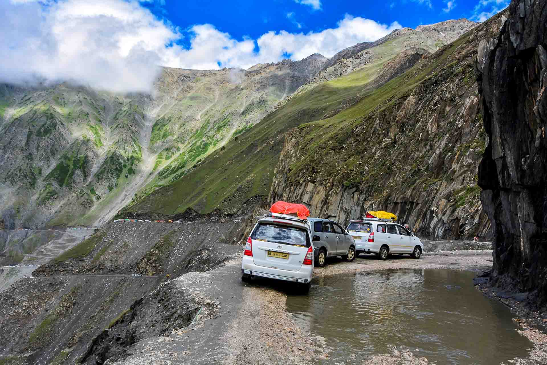
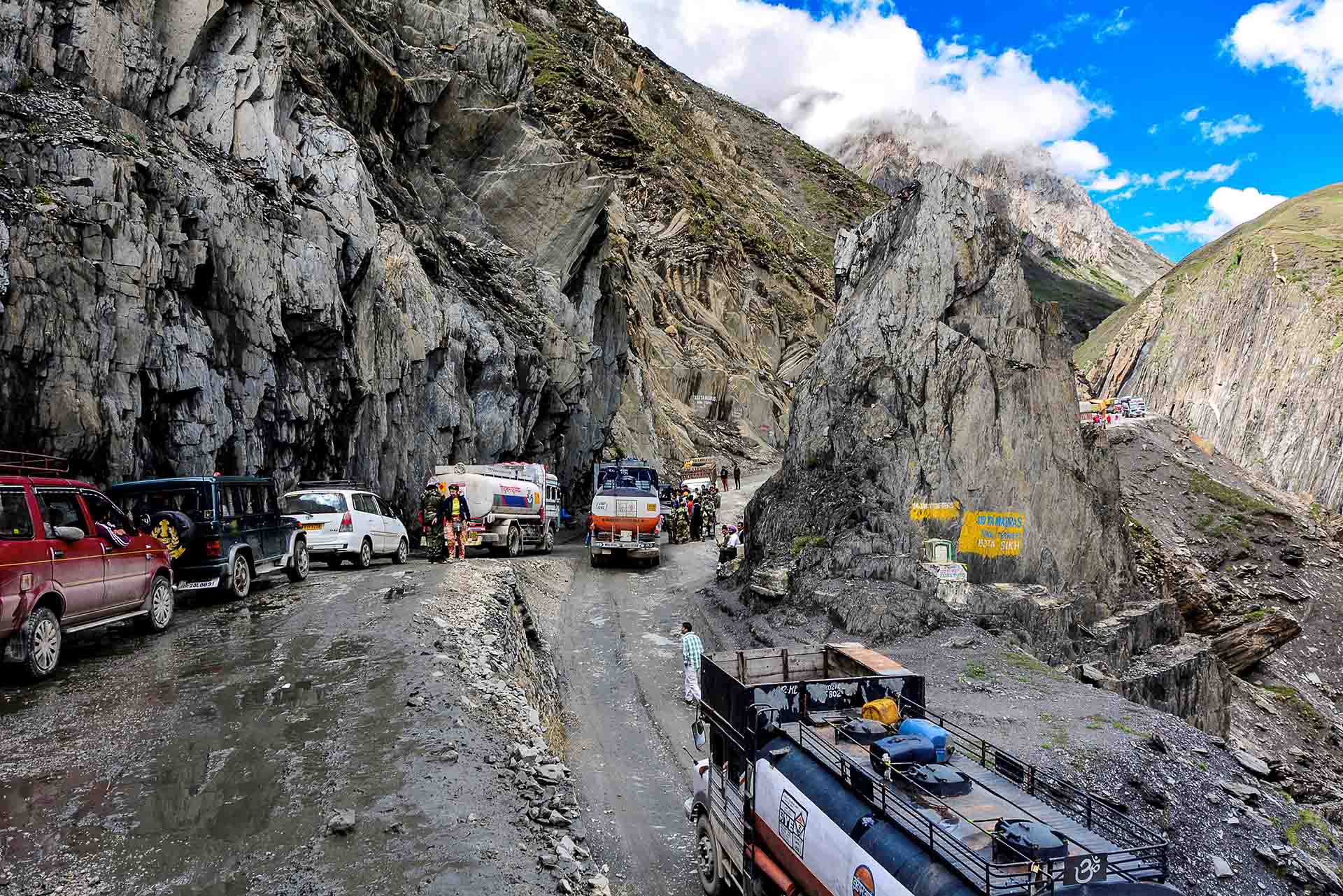
A landslide blocked the two roads, the old but also the recently opened one at a lower altitude; this is Zoji-La Pass. The logic behind it is "since we cannot cut the mountain to have a wider road, let's open a second one at the most narrow point". The question, of course, is why don't they make them one-way!
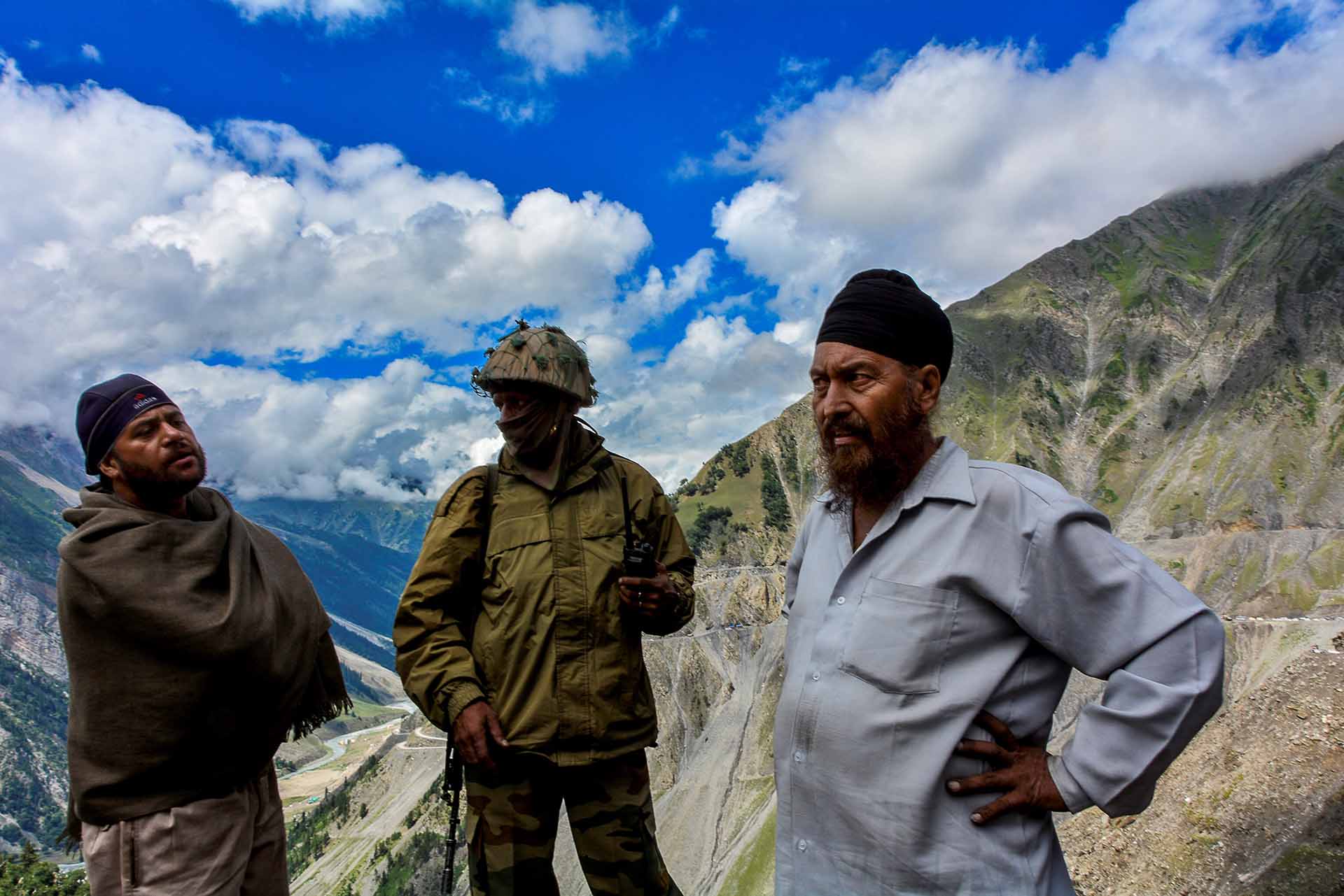
We stayed at the upper road; it's only there that we could park the three SUVs! Bulldozers and excavators were already at work. But we are in India... Let's prepare for an exciting afternoon or, why not, an evening too...
with an awesome view...with good company...
with caravans ...
with a lot of traffic ...vehicles, people, pasmina goats…iterary at the shoulder of the precipice...
Watching from above the drivers of the trapped vehicles on the lower road....
...the lone hikers (where do they really think they go?)
Two hours passed and while the road had opened and our hopes were rekindled that we could sleep tonight in the boathouses of lake Dal in Kashmir. And suddenly ooops! a tank truck got stuck at the junction of the two roads, blocking traffick! We all rushed to help the vehicle move.
After one more hour, by some miracle, the road opened partly and we decided to give it a try. Since we drove through the most narrow passage of Zoji-La (trade mark!) and did not get stuck in the mud…
we felt that we made it!
And, after we went through the first congestion of vehicles...
we continued, unrestrained, our descent toward Kashmir, in a magnificent scenery of green villages and snowy mountaintops, in perfect combination with picturesque rivers! We were already in Kashmir, the valley of Eternal Spring!
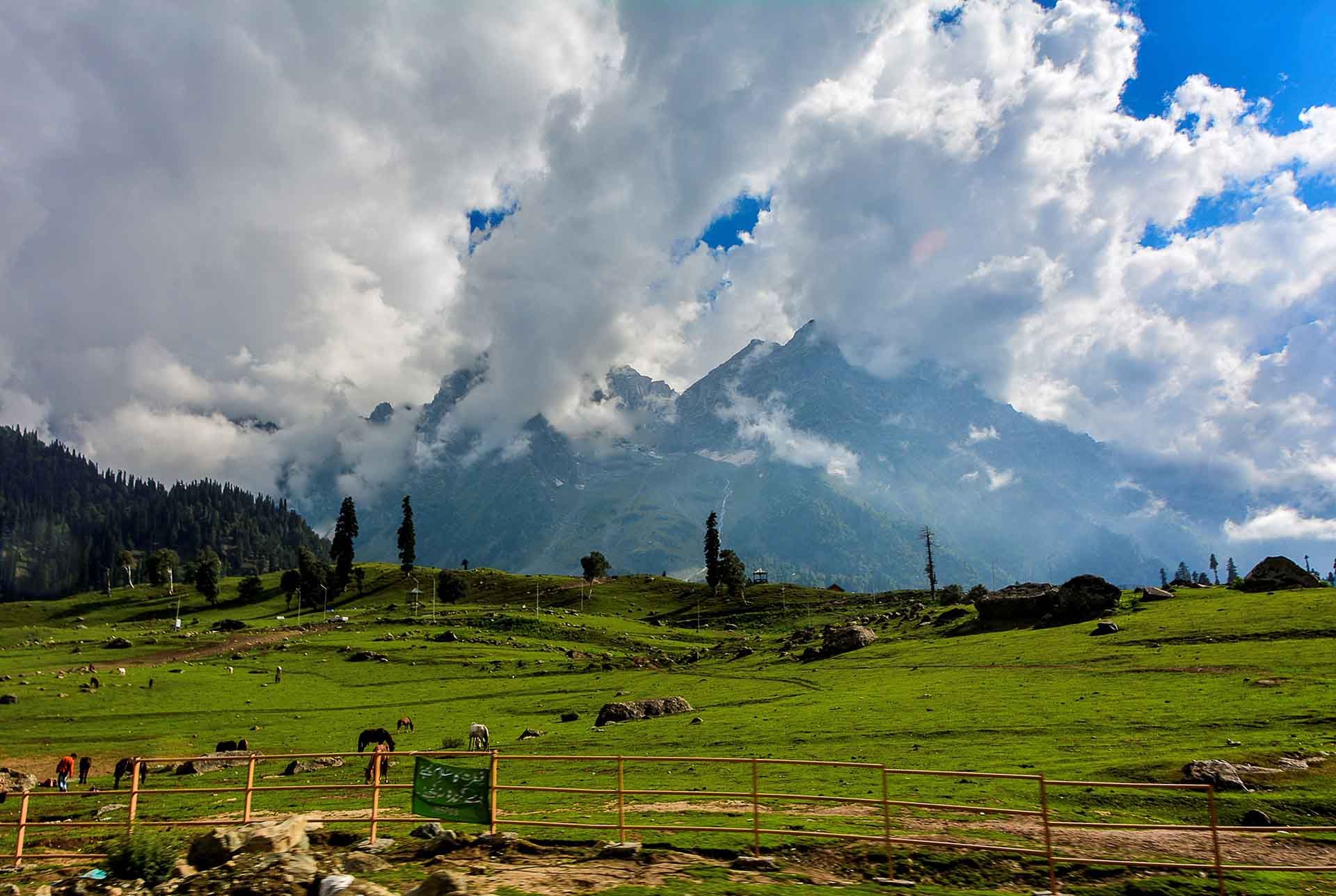
The last stop was at Sonmarg, altitude 2.470m, 87 Km from Sringar. Its name means "Golden Pasture". This place is ideal starting point for trekking. Lots of greenery and the view was from below now!
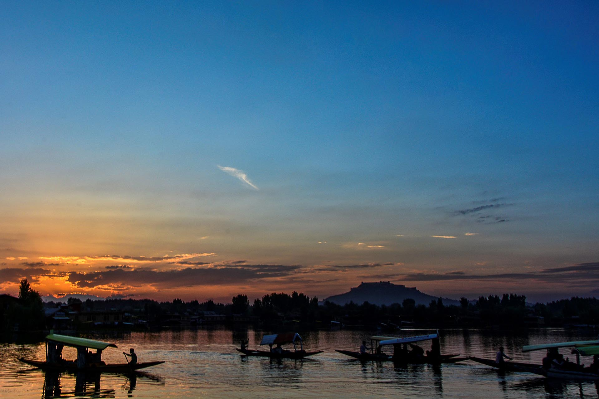
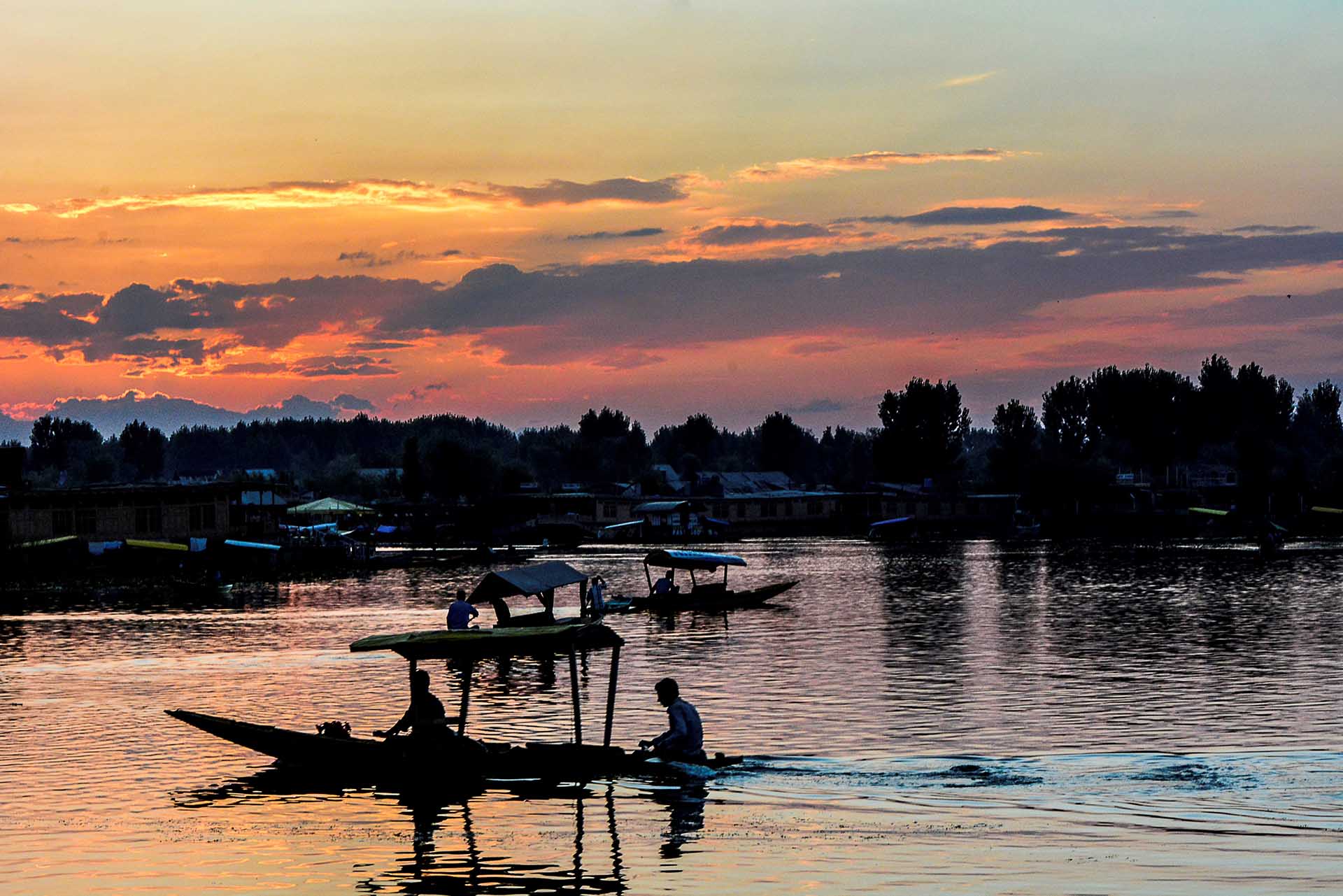
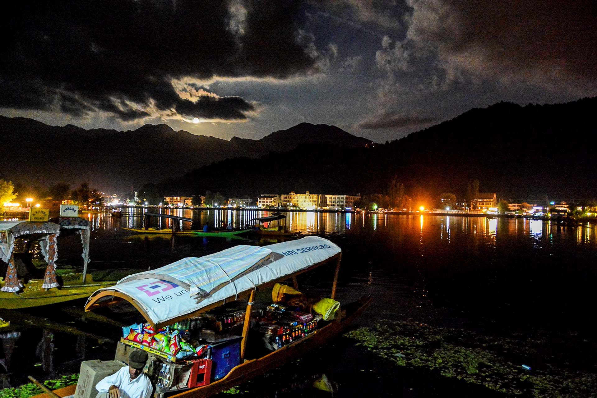
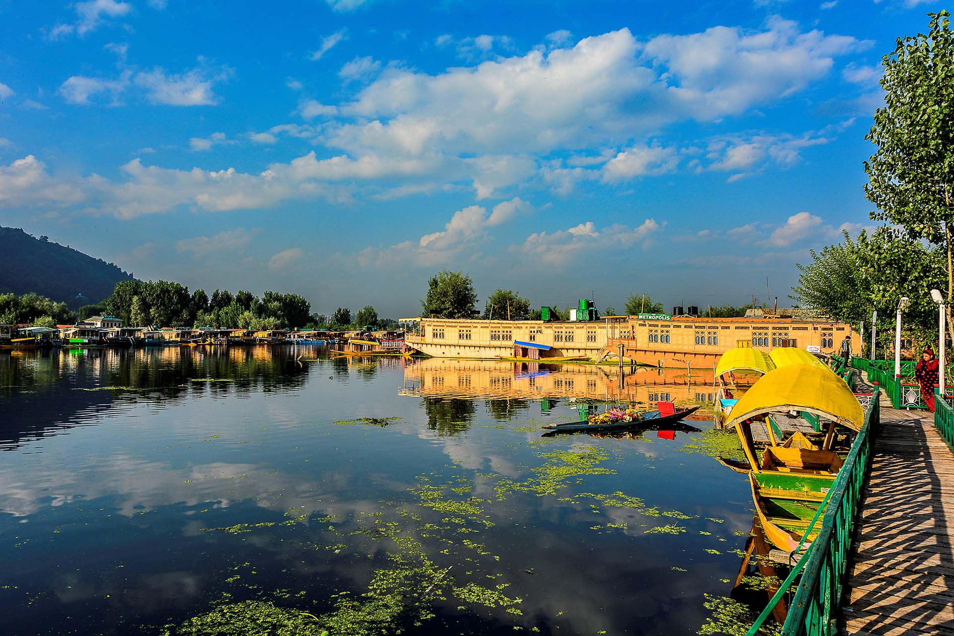
We reached Lake Dal, near to Srinagar, right after sunset.
21 August 2013. There was even full moon that night! Alone on the porch of our houseboat, late in the evening, in the magic of lake Dal as was flooded by moonlight, I was not in the mood of reflecting the events of the day, as I like to do during travel.
What I experienced these two days, the beauty I relished, left no room for reflections; it had inundated my mind, heart and soul and remained there indelibly inscribed! From the "Roof of the World" I descended to the valley of the "Eternal Spring", stayed in Shambhala for two days and enjoyed the full moon in Shangri La, just to wake up the next day in paradise...
Thank you, dear God, for allowing me to experience this!